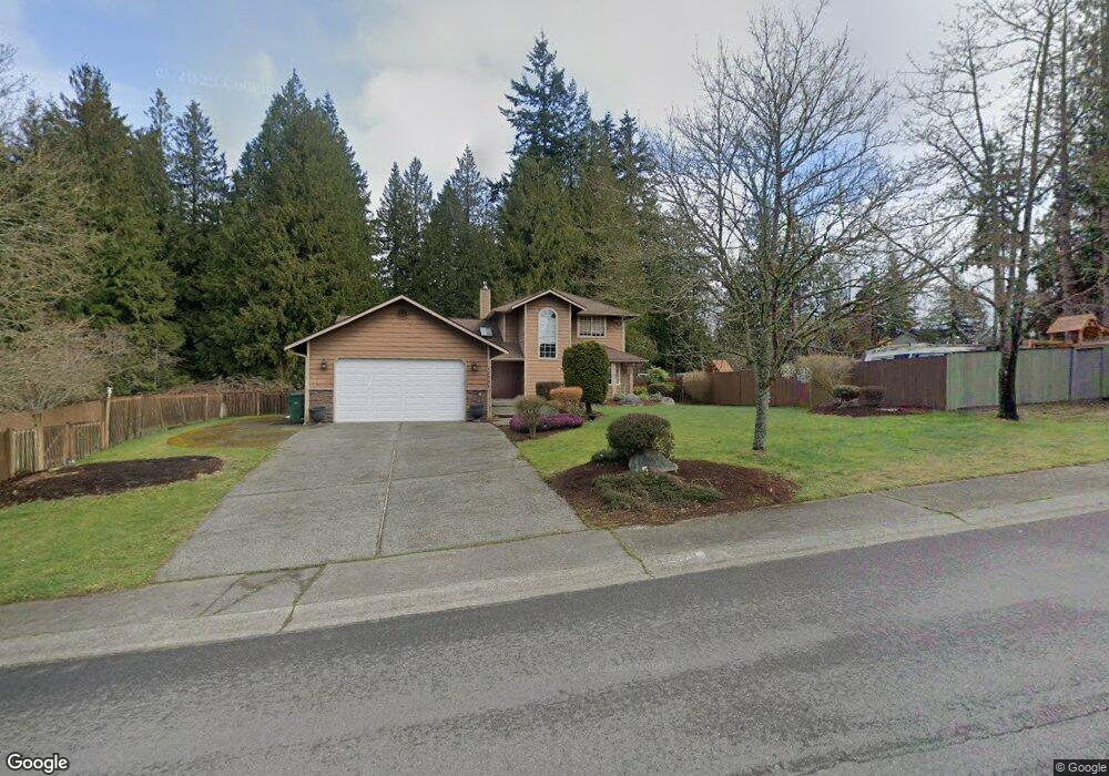
13331 Harbour Heights Dr Mukilteo, WA 98275
Harbour Pointe NeighborhoodEstimated Value: $920,000 - $986,000
3
Beds
3
Baths
2,145
Sq Ft
$446/Sq Ft
Est. Value
About This Home
This home is located at 13331 Harbour Heights Dr, Mukilteo, WA 98275 and is currently estimated at $957,441, approximately $446 per square foot. 13331 Harbour Heights Dr is a home located in Snohomish County with nearby schools including Serene Lake Elementary School, Olympic View Middle School, and Kamiak High School.
Ownership History
Date
Name
Owned For
Owner Type
Purchase Details
Closed on
Mar 22, 2000
Sold by
Hayes Kevin R
Bought by
Munroe Roland H and Munroe Erica L
Current Estimated Value
Home Financials for this Owner
Home Financials are based on the most recent Mortgage that was taken out on this home.
Original Mortgage
$238,050
Outstanding Balance
$81,200
Interest Rate
8.38%
Estimated Equity
$876,241
Create a Home Valuation Report for This Property
The Home Valuation Report is an in-depth analysis detailing your home's value as well as a comparison with similar homes in the area
Home Values in the Area
Average Home Value in this Area
Purchase History
| Date | Buyer | Sale Price | Title Company |
|---|---|---|---|
| Munroe Roland H | $264,500 | Evergreen Title Company Inc |
Source: Public Records
Mortgage History
| Date | Status | Borrower | Loan Amount |
|---|---|---|---|
| Open | Munroe Roland H | $238,050 |
Source: Public Records
Tax History Compared to Growth
Tax History
| Year | Tax Paid | Tax Assessment Tax Assessment Total Assessment is a certain percentage of the fair market value that is determined by local assessors to be the total taxable value of land and additions on the property. | Land | Improvement |
|---|---|---|---|---|
| 2025 | $5,739 | $830,900 | $504,700 | $326,200 |
| 2024 | $5,739 | $791,300 | $455,900 | $335,400 |
| 2023 | $6,047 | $860,700 | $482,100 | $378,600 |
| 2022 | $5,367 | $655,700 | $334,400 | $321,300 |
| 2020 | $4,610 | $566,700 | $285,000 | $281,700 |
| 2019 | $4,392 | $552,300 | $273,600 | $278,700 |
| 2018 | $4,457 | $486,200 | $237,500 | $248,700 |
| 2017 | $3,891 | $441,200 | $209,000 | $232,200 |
| 2016 | $3,576 | $403,400 | $184,300 | $219,100 |
| 2015 | $3,644 | $369,600 | $160,600 | $209,000 |
| 2013 | $3,079 | $291,800 | $119,700 | $172,100 |
Source: Public Records
Map
Nearby Homes
- 13318 Beverly Park Rd
- 4105 Lincoln Way
- 13327 Beverly Park Rd
- 3910 132nd St SW Unit B
- 3910 132nd St SW Unit A
- 13623 40th Ave W
- 13322 47th Place W
- 13303 48th Place W
- 3303 134th Place SW Unit B
- 4726 Picnic Point Rd
- 3302 132nd Place SW
- 3604 Serene Way
- 5119 136th St SW
- 4630 143rd Place SW
- 14224 Beverly Park Rd Unit A
- 3821 Shelby Rd
- 3707 Shelby Rd
- 14019 52nd Ave W Unit B
- 13320 Highway 99 Unit 109
- 13320 Highway 99 Unit 54
- 13325 Harbour Heights Dr
- 13320 Beverly Park Rd
- 13330 Harbour Heights Dr
- 13313 42nd Ave W
- 13404 Harbour Heights Dr
- 13305 42nd Ave W
- 13402 Beverly Park Rd
- 13326 Harbour Heights Dr
- 13408 Harbour Heights Dr
- 13319 42nd Ave W
- 13229 42nd Ave W
- 13412 Harbour Heights Dr
- 13405 Pacific Pointe Ln
- 13325 42nd Ave W
- 13331 Pacific Pointe Ln
- 13409 Pacific Pointe Ln
- 13223 42nd Ave W
- 13302 42nd Ave W
- 13331 42nd Ave W
- 0 Beverly Park Rd Unit NWM2073886