13331 Mercer Rd Jerome, MI 49249
Estimated Value: $348,000 - $354,167
2
Beds
1
Bath
1,040
Sq Ft
$338/Sq Ft
Est. Value
About This Home
This home is located at 13331 Mercer Rd, Jerome, MI 49249 and is currently estimated at $351,084, approximately $337 per square foot. 13331 Mercer Rd is a home with nearby schools including North Adams-Jerome Elementary School and North Adams-Jerome Middle/High School.
Ownership History
Date
Name
Owned For
Owner Type
Purchase Details
Closed on
Oct 16, 2023
Sold by
Millis John Edward and Millis Kathleen Marie
Bought by
Millis John Edward and Millis Kathleen Marie
Current Estimated Value
Purchase Details
Closed on
Jul 14, 2021
Sold by
Millis Darlene
Bought by
Millis V John E
Purchase Details
Closed on
Jun 28, 1995
Sold by
Millis John E and Mckenzie Carrie
Bought by
Millis John E and Millis Darlene
Purchase Details
Closed on
Apr 15, 1995
Sold by
Millis John E and Millis Darlene
Bought by
Millis
Create a Home Valuation Report for This Property
The Home Valuation Report is an in-depth analysis detailing your home's value as well as a comparison with similar homes in the area
Purchase History
| Date | Buyer | Sale Price | Title Company |
|---|---|---|---|
| Millis John Edward | -- | -- | |
| Millis V John E | -- | None Available | |
| Millis John E | -- | -- | |
| Millis | -- | -- |
Source: Public Records
Tax History
| Year | Tax Paid | Tax Assessment Tax Assessment Total Assessment is a certain percentage of the fair market value that is determined by local assessors to be the total taxable value of land and additions on the property. | Land | Improvement |
|---|---|---|---|---|
| 2025 | $799 | $171,090 | $0 | $0 |
| 2024 | $8 | $162,520 | $0 | $0 |
| 2023 | $741 | $142,660 | $0 | $0 |
| 2022 | $1,469 | $127,830 | $0 | $0 |
| 2021 | $1,433 | $114,370 | $0 | $0 |
| 2020 | $1,413 | $102,230 | $0 | $0 |
| 2019 | $1,412 | $97,540 | $0 | $0 |
| 2018 | $1,390 | $116,510 | $0 | $0 |
| 2017 | $1,328 | $115,780 | $0 | $0 |
| 2016 | $1,318 | $109,100 | $0 | $0 |
| 2015 | $624 | $109,100 | $0 | $0 |
| 2013 | $605 | $103,930 | $0 | $0 |
| 2012 | $591 | $103,380 | $0 | $0 |
Source: Public Records
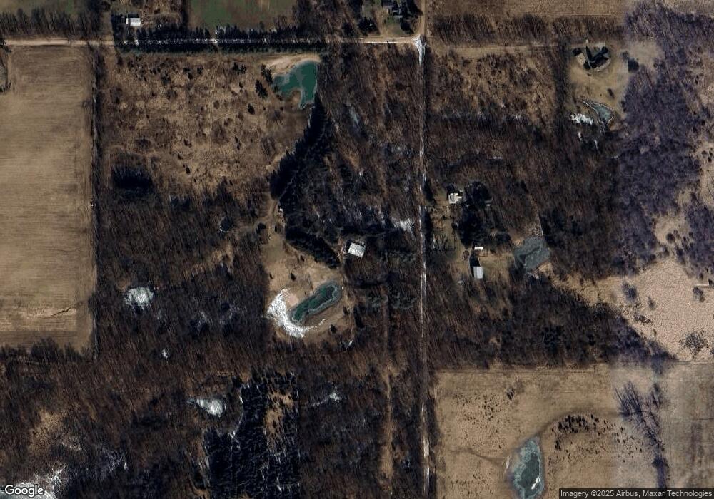
Map
Nearby Homes
- 9571 Waldron Rd
- 10421 E Greenlawn Dr
- 13820 N Adams Rd
- 13840 N Adams Rd
- 4955 N Somerset Rd
- 9059 Tessarri Dr
- 11480 N Adams Rd
- Lots 274-276 Southlawn Cir
- 9951 Southlawn Cir
- 9852 Southlawn Cir
- 16001 Addison Rd
- V/L E Chicago Rd
- 6482 Sorby Hwy
- 10535 Sherlock Dr
- 10140 Fairway Dr
- 10370 Heatherlawn Ct
- 10380 Heatherlawn Ct
- 14378 Kildare Ln
- 11620 Greenlawn Dr
- 14581 Glenbeigh Ln
- 7411 Bilby Rd
- 7500 Bilby Rd
- 7447 Bilby Rd
- 13140 Mercer Rd
- 7591 Bilby Rd
- 13031 Mercer Rd
- 7051 Bilby Rd
- 13131 Mercer Rd
- 7677 Bilby Rd
- 12780 Mercer Rd
- 12780 Mercer Rd Unit MERCER RD
- 1313 Mercer
- 7690 Bilby Rd
- 12695 Mercer Rd
- 12751 Mercer Rd
- 12614 Mercer Rd
- 13653 Calhoun Rd
- 13651 Calhoun Rd
- 12640 1/2 Calhoun Rd
- 13160 Calhoun Rd
Your Personal Tour Guide
Ask me questions while you tour the home.