Estimated Value: $156,000 - $478,000
1
Bed
1
Bath
1,072
Sq Ft
$293/Sq Ft
Est. Value
About This Home
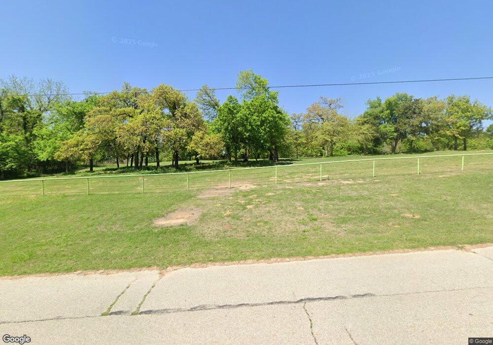
This home is located at 13331 N Anderson Rd, Jones, OK 73049 and is currently estimated at $314,523, approximately $293 per square foot. 13331 N Anderson Rd is a home with nearby schools including Jones Elementary School, Jones Middle School, and Jones High School.
Ownership History
Date
Name
Owned For
Owner Type
Purchase Details
Closed on
Jan 11, 2013
Sold by
Mumby Philip C and Mumby Lorie J
Bought by
Douglas Post Properties Llc
Current Estimated Value
Home Financials for this Owner
Home Financials are based on the most recent Mortgage that was taken out on this home.
Original Mortgage
$68,000
Interest Rate
3.33%
Mortgage Type
Future Advance Clause Open End Mortgage
Purchase Details
Closed on
Aug 3, 2007
Sold by
Mumby Philip C and Mumby Lorie J
Bought by
Mumby Philip C and Mumby Lorie J
Home Financials for this Owner
Home Financials are based on the most recent Mortgage that was taken out on this home.
Original Mortgage
$55,000
Interest Rate
6.73%
Mortgage Type
Construction
Purchase Details
Closed on
Dec 14, 2006
Sold by
Mijo Investments Llc
Bought by
Mumby Philip C
Create a Home Valuation Report for This Property
The Home Valuation Report is an in-depth analysis detailing your home's value as well as a comparison with similar homes in the area
Purchase History
| Date | Buyer | Sale Price | Title Company |
|---|---|---|---|
| Douglas Post Properties Llc | $85,000 | Capitol Abst And Title Co | |
| Mumby Philip C | -- | Lawyers Title Of Oklahoma Ci | |
| Mumby Philip C | $63,000 | Lawyers Title Of Ok City Inc |
Source: Public Records
Mortgage History
| Date | Status | Borrower | Loan Amount |
|---|---|---|---|
| Closed | Douglas Post Properties Llc | $68,000 | |
| Previous Owner | Mumby Philip C | $55,000 |
Source: Public Records
Tax History Compared to Growth
Tax History
| Year | Tax Paid | Tax Assessment Tax Assessment Total Assessment is a certain percentage of the fair market value that is determined by local assessors to be the total taxable value of land and additions on the property. | Land | Improvement |
|---|---|---|---|---|
| 2025 | $3,091 | $24,918 | $3,879 | $21,039 |
| 2024 | $2,880 | $23,732 | $3,644 | $20,088 |
| 2023 | $2,880 | $22,602 | $4,271 | $18,331 |
| 2022 | $2,678 | $21,526 | $4,412 | $17,114 |
| 2021 | $2,583 | $20,501 | $4,950 | $15,551 |
| 2020 | $2,480 | $19,525 | $5,591 | $13,934 |
| 2019 | $2,654 | $20,295 | $5,591 | $14,704 |
| 2018 | $2,672 | $20,283 | $0 | $0 |
| 2017 | $2,671 | $20,453 | $5,547 | $14,906 |
| 2016 | $2,545 | $19,479 | $5,591 | $13,888 |
| 2015 | $2,471 | $19,575 | $5,577 | $13,998 |
| 2014 | $2,381 | $18,644 | $5,591 | $13,053 |
Source: Public Records
Map
Nearby Homes
- 13621 Silver Meadows Rd
- 12701 E Memorial Rd
- 17705 E Memorial Rd
- 8400 E Memorial Rd
- 8200 E Memorial Rd
- 13700 P H Turnaround
- 13401 E 33rd St
- 3100 Freeman Manor Dr
- 13500 Adero Dr
- 11300 N Westminster Rd
- 3005 Bee Hive Way
- 10413 NE 145th St
- 14713 Autumn Ridge Ln
- 12624 E Hefner Rd
- 10613 E 33rd St
- 10024 NE 145th St
- 112 Olde Mill Rd
- 213 Olde Mill Ct
- 217 Olde Mill Ct
- 2700 Cherry Glen Dr
- 11720 E Memorial Rd
- 11616 E Memorial Rd
- 12113 E Memorial Rd
- 11500 E Memorial Rd
- 13110 Silver Meadows Rd
- 12100 Horseshoe Dr
- 12000 Horseshoe Dr
- 12300 E Memorial Rd
- 12201 E Memorial Rd
- 8131 E Memorial Rd
- 13630 Silver Meadows Rd
- 13605 Silver Meadows Rd
- 13125 Silver Meadows Rd
- 13604 Silver Meadows Rd
- 12001 Horseshoe Dr
- 12301 E Memorial Rd
- 14001 N Anderson Rd
- 12101 Horseshoe Dr
- 11300 E Memorial Rd
- 11700 NE 141st St
