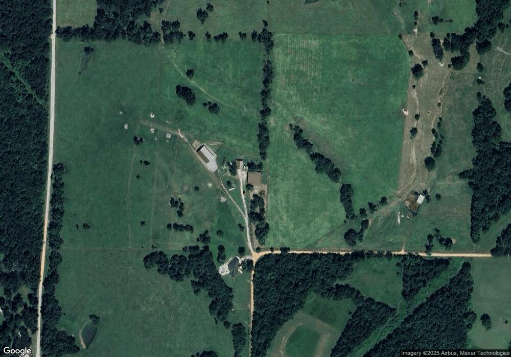
13332 Morrow Rd Gentry, AR 72734
Estimated Value: $1,183,000
--
Bed
--
Bath
--
Sq Ft
80.79
Acres
About This Home
This home is located at 13332 Morrow Rd, Gentry, AR 72734 and is currently estimated at $1,183,000. 13332 Morrow Rd is a home located in Benton County with nearby schools including Vaughn Elementary, Grimsley Junior High School, and Creekside Middle School.
Ownership History
Date
Name
Owned For
Owner Type
Purchase Details
Closed on
Oct 3, 2017
Sold by
Oliver Sach D and Oliver Codi
Bought by
Mathias Samuel Hill
Current Estimated Value
Home Financials for this Owner
Home Financials are based on the most recent Mortgage that was taken out on this home.
Original Mortgage
$249,900
Interest Rate
3.86%
Mortgage Type
Future Advance Clause Open End Mortgage
Purchase Details
Closed on
Sep 17, 2001
Bought by
Atrs Prop
Create a Home Valuation Report for This Property
The Home Valuation Report is an in-depth analysis detailing your home's value as well as a comparison with similar homes in the area
Home Values in the Area
Average Home Value in this Area
Purchase History
| Date | Buyer | Sale Price | Title Company |
|---|---|---|---|
| Mathias Samuel Hill | $450,000 | Realty Title & Closing Servi | |
| Atrs Prop | $840,000 | -- |
Source: Public Records
Mortgage History
| Date | Status | Borrower | Loan Amount |
|---|---|---|---|
| Closed | Mathias Samuel Hill | $249,900 |
Source: Public Records
Tax History Compared to Growth
Tax History
| Year | Tax Paid | Tax Assessment Tax Assessment Total Assessment is a certain percentage of the fair market value that is determined by local assessors to be the total taxable value of land and additions on the property. | Land | Improvement |
|---|---|---|---|---|
| 2025 | $373 | $6,144 | $3,670 | $2,474 |
| 2024 | $377 | $6,144 | $3,670 | $2,474 |
| 2023 | $368 | $5,997 | $3,523 | $2,474 |
| 2022 | $293 | $4,670 | $3,520 | $1,150 |
| 2021 | $292 | $4,670 | $3,520 | $1,150 |
| 2020 | $282 | $4,460 | $3,310 | $1,150 |
| 2019 | $282 | $4,460 | $3,310 | $1,150 |
| 2018 | $282 | $4,460 | $3,310 | $1,150 |
| 2017 | $272 | $7,300 | $6,150 | $1,150 |
| 2016 | $392 | $6,390 | $6,150 | $240 |
| 2015 | $341 | $5,570 | $5,330 | $240 |
| 2014 | $341 | $5,570 | $5,330 | $240 |
Source: Public Records
Map
Nearby Homes
- 81 ac N Center St
- 14400 W Cowan Rd
- 19.95 ac NE 18th Ave
- 236 ac NE 18th Ave
- 80 ac NE 18th Ave
- 1571 N Center St
- 0 NE 18th Ave
- 492 NW Cowan Ave
- 422 NE Duke Hill Rd
- 477 NE Duke Hill Rd
- 541 Ave
- 14400 Cowan Rd
- 0 Hutchens Rd
- 19.99 ac NW Hutchens Rd
- 796 NW Holland Ave
- 1257 NW Malone Rd
- 21.61 Acres W Highway 12
- 404 NW 59th Ave
- 406 NW 59th Ave
- 414 NW 59 Ave
- 0 N 68 Acres Holland Ave Unit 722273
- 10855 N Holland Ave
- 0 N Holland Ave Unit 645522
- 0 N Holland Ave Unit 1018828
- 0 N Holland Ave Unit 693866
- 0 N Holland Ave Unit 1014668
- 0 N Holland Ave Unit 1018938
- 0 N Holland Ave Unit 1032639
- 11011 N Holland Ave
- 281 NW Cowan Ave
- 11255 N Holland Ave
- 310 NW Cowan Ave
- 332 NW Cowan Ave
- 1865 NE Douglas Cemetery Rd
- 1865 NE Douglas Cemetery Rd
- 374 NW Cowan Ave
- 11205 W Insco Rd
- 1675 N Center St
- 404 NW Cowan Ave
- 0 Douglas Cemetery Rd Unit 532442