Estimated Value: $1,265,000 - $1,444,835
3
Beds
2
Baths
1,716
Sq Ft
$791/Sq Ft
Est. Value
About This Home
This home is located at 13333 S Rosencrantz Rd, Canby, OR 97013 and is currently estimated at $1,357,945, approximately $791 per square foot. 13333 S Rosencrantz Rd is a home located in Clackamas County.
Ownership History
Date
Name
Owned For
Owner Type
Purchase Details
Closed on
Nov 6, 2000
Sold by
Sutherland Blance G and Sutherland Dorothy L
Bought by
Danforth Kathleen D
Current Estimated Value
Home Financials for this Owner
Home Financials are based on the most recent Mortgage that was taken out on this home.
Original Mortgage
$138,750
Interest Rate
7.88%
Create a Home Valuation Report for This Property
The Home Valuation Report is an in-depth analysis detailing your home's value as well as a comparison with similar homes in the area
Home Values in the Area
Average Home Value in this Area
Purchase History
| Date | Buyer | Sale Price | Title Company |
|---|---|---|---|
| Danforth Kathleen D | $185,000 | First American Title Ins Co |
Source: Public Records
Mortgage History
| Date | Status | Borrower | Loan Amount |
|---|---|---|---|
| Closed | Danforth Kathleen D | $138,750 |
Source: Public Records
Tax History Compared to Growth
Tax History
| Year | Tax Paid | Tax Assessment Tax Assessment Total Assessment is a certain percentage of the fair market value that is determined by local assessors to be the total taxable value of land and additions on the property. | Land | Improvement |
|---|---|---|---|---|
| 2025 | $12,519 | $920,881 | -- | -- |
| 2024 | $12,120 | $894,060 | -- | -- |
| 2023 | $12,120 | $868,020 | $0 | $0 |
| 2022 | $10,130 | $842,738 | $0 | $0 |
| 2021 | $9,670 | $818,193 | $0 | $0 |
| 2020 | $9,407 | $794,363 | $0 | $0 |
| 2019 | $9,135 | $771,227 | $0 | $0 |
| 2018 | $8,886 | $748,764 | $0 | $0 |
| 2017 | $8,342 | $726,955 | $0 | $0 |
| 2016 | $7,825 | $705,782 | $0 | $0 |
| 2015 | $7,406 | $685,225 | $0 | $0 |
| 2014 | $6,962 | $665,267 | $0 | $0 |
Source: Public Records
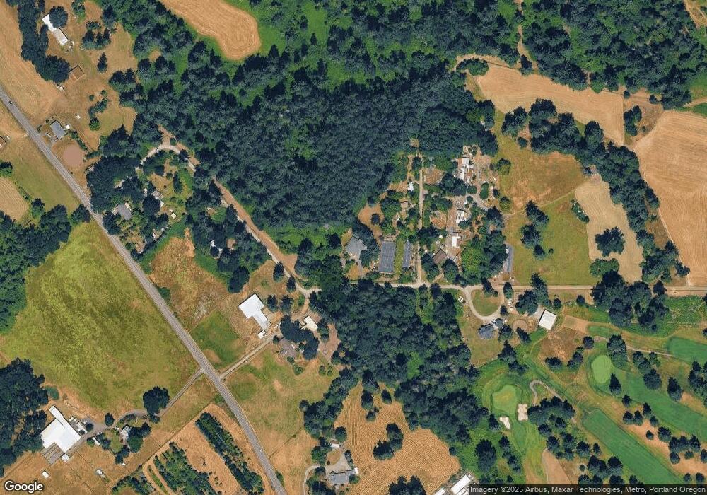
Map
Nearby Homes
- 14001 S Union Mills Rd
- 13920 S Lucia Ln
- 26740 S Fish Rd
- 28502 S Highway 213
- 28502 Oregon 213
- 26684 S Fish Rd
- 12051 S Riggs Damm Rd
- 0 S Ranch Hills Rd
- 12403 S Eby Rd
- 11600 S Emerson Rd
- 13511 S Freeman Rd
- 26250 S Milk Creek Cir
- 12192 S Mulino Rd
- 0 S MacKsburg Rd
- 29891 S Highway 213
- 15441 S Union Mills Rd
- 14980 S Buckner Creek Rd
- 10787 S Heinz Rd
- 29333 S Marshall Rd
- 15693 S Hidden Rd
- 13401 S Rosencrantz Rd
- 13561 S Rosencrantz Rd
- 13584 S Rosencrantz Rd
- 13201 S MacKsburg Rd
- 13403 S Rosencrantz Rd
- 13111 S MacKsburg Rd
- 13251 S MacKsburg Rd
- 13303 S MacKsburg Rd
- 13262 S MacKsburg Rd
- 13150 S MacKsburg Rd
- 13021 S MacKsburg Rd
- 13311 S MacKsburg Rd
- 13351 S MacKsburg Rd
- 13371 S MacKsburg Rd
- 28050 S Busco Ln
- 28050 S Busco Ln
- 13310 S Busco Ln
- 28060 S Busco Ln
- 13320 S Busco Ln
- 28201 S Wakonda Way