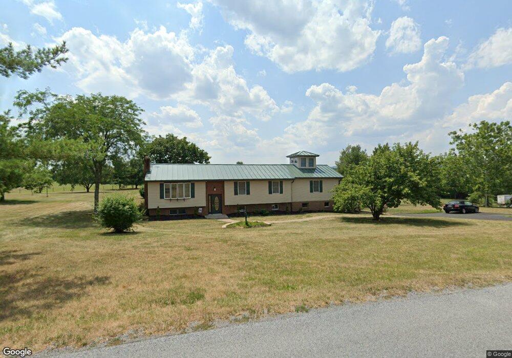
13334 Independence Rd Clear Spring, MD 21722
Estimated Value: $344,914 - $379,000
Studio
2
Baths
1,578
Sq Ft
$231/Sq Ft
Est. Value
About This Home
This home is located at 13334 Independence Rd, Clear Spring, MD 21722 and is currently estimated at $364,479, approximately $230 per square foot. 13334 Independence Rd is a home located in Washington County with nearby schools including Clear Spring Elementary School, Clear Spring Middle School, and Clear Spring High School.
Ownership History
Date
Name
Owned For
Owner Type
Purchase Details
Closed on
Jan 30, 1995
Sold by
Keyton M R
Bought by
Nemes Robert K
Current Estimated Value
Home Financials for this Owner
Home Financials are based on the most recent Mortgage that was taken out on this home.
Original Mortgage
$109,155
Interest Rate
9.24%
Purchase Details
Closed on
Jun 25, 1991
Sold by
Keyton Michael R
Bought by
Keyton Michael R
Purchase Details
Closed on
Jul 26, 1983
Sold by
Weaver Curtis W
Bought by
Keyton Michael R
Home Financials for this Owner
Home Financials are based on the most recent Mortgage that was taken out on this home.
Original Mortgage
$45,000
Interest Rate
13.58%
Create a Home Valuation Report for This Property
The Home Valuation Report is an in-depth analysis detailing your home's value as well as a comparison with similar homes in the area
Purchase History
| Date | Buyer | Sale Price | Title Company |
|---|---|---|---|
| Nemes Robert K | $114,900 | -- | |
| Keyton Michael R | $10,000 | -- | |
| Keyton Michael R | $9,500 | -- |
Source: Public Records
Mortgage History
| Date | Status | Borrower | Loan Amount |
|---|---|---|---|
| Closed | Nemes Robert K | $109,155 | |
| Previous Owner | Keyton Michael R | $45,000 |
Source: Public Records
Tax History
| Year | Tax Paid | Tax Assessment Tax Assessment Total Assessment is a certain percentage of the fair market value that is determined by local assessors to be the total taxable value of land and additions on the property. | Land | Improvement |
|---|---|---|---|---|
| 2025 | $2,588 | $275,967 | $0 | $0 |
| 2024 | $2,588 | $244,133 | $0 | $0 |
| 2023 | $2,208 | $212,300 | $57,000 | $155,300 |
| 2022 | $2,183 | $204,133 | $0 | $0 |
| 2021 | $2,137 | $195,967 | $0 | $0 |
| 2020 | $2,051 | $187,800 | $57,000 | $130,800 |
| 2019 | $2,051 | $187,800 | $57,000 | $130,800 |
| 2018 | $2,430 | $187,800 | $57,000 | $130,800 |
| 2017 | $2,114 | $200,500 | $0 | $0 |
| 2016 | -- | $193,767 | $0 | $0 |
| 2015 | -- | $187,033 | $0 | $0 |
| 2014 | $1,985 | $180,300 | $0 | $0 |
Source: Public Records
Map
Nearby Homes
- 15642 Deer Lodge Dr
- 0 Rockdale Rd
- 13638 Creek View Dr
- 13643 Creek View Dr
- 0 Walnut Point W
- 14312 Gossard Mill Rd
- 13726 Hopps Landing Rd
- 0 Pinehill Dr
- 14521 Fairview Hill Ln
- 13224 Greencastle Pike
- 71 Charlotte St
- 13100 Saint Paul Rd
- 16512 National Pike
- 15244 Fairview Rd
- 15954 Hosta Dr
- 13824 Broadfording Church Rd
- 13656 Greencastle Pike
- 11701 Walnut Point Rd
- 17038 Broadfording Rd
- 11625 Walnut Point Rd
- 13328 Independence Rd
- 13338 Independence Rd
- 13322 Independence Rd
- 13325 Independence Rd
- 13331 Independence Rd
- 13321 Independence Rd
- 13316 Independence Rd
- 13343 Independence Rd
- 13355 Independence Rd
- 13315 Independence Rd
- 13310 Independence Rd
- 13309 Independence Rd
- 13302 Independence Rd
- 13376 Independence Rd
- 13303 Independence Rd
- 13307 Rockdale Rd
- 13248 Independence Rd
- 13217 Rockdale Rd
- 13242 Independence Rd
- 13413 Rockdale Rd
Your Personal Tour Guide
Ask me questions while you tour the home.