Estimated Value: $150,000 - $301,000
--
Bed
1
Bath
896
Sq Ft
$252/Sq Ft
Est. Value
About This Home
This home is located at 13335 Highway 219 Unit 13341, Ozark, AR 72949 and is currently estimated at $225,553, approximately $251 per square foot. 13335 Highway 219 Unit 13341 is a home located in Franklin County with nearby schools including Ozark Kindergarten School, Elgin B. Milton Elementary School, and Ozark Upper Elementary School.
Ownership History
Date
Name
Owned For
Owner Type
Purchase Details
Closed on
Nov 30, 2020
Sold by
John R Fisk Enterprises Llc
Bought by
Barnard Jason and Barnard Ann
Current Estimated Value
Home Financials for this Owner
Home Financials are based on the most recent Mortgage that was taken out on this home.
Original Mortgage
$117,000
Outstanding Balance
$104,113
Interest Rate
2.8%
Mortgage Type
VA
Estimated Equity
$121,440
Purchase Details
Closed on
Mar 5, 2020
Sold by
Jackson Kelly
Bought by
John R Fisk Enterprises Llc
Purchase Details
Closed on
Dec 3, 2004
Bought by
Doss and Jackson
Create a Home Valuation Report for This Property
The Home Valuation Report is an in-depth analysis detailing your home's value as well as a comparison with similar homes in the area
Home Values in the Area
Average Home Value in this Area
Purchase History
| Date | Buyer | Sale Price | Title Company |
|---|---|---|---|
| Barnard Jason | $177,000 | Adams Abstract & Title | |
| John R Fisk Enterprises Llc | $660,000 | None Available | |
| Doss | $95,000 | -- |
Source: Public Records
Mortgage History
| Date | Status | Borrower | Loan Amount |
|---|---|---|---|
| Open | Barnard Jason | $117,000 |
Source: Public Records
Tax History Compared to Growth
Tax History
| Year | Tax Paid | Tax Assessment Tax Assessment Total Assessment is a certain percentage of the fair market value that is determined by local assessors to be the total taxable value of land and additions on the property. | Land | Improvement |
|---|---|---|---|---|
| 2025 | $1,198 | $25,020 | $3,340 | $21,680 |
| 2024 | $1,198 | $25,020 | $3,340 | $21,680 |
| 2023 | $1,198 | $25,020 | $3,340 | $21,680 |
| 2022 | $40 | $25,020 | $3,340 | $21,680 |
| 2021 | $40 | $25,020 | $3,340 | $21,680 |
| 2020 | $1,131 | $22,870 | $3,460 | $19,410 |
| 2019 | $1,131 | $22,750 | $3,340 | $19,410 |
| 2018 | $781 | $22,750 | $3,340 | $19,410 |
| 2017 | $737 | $22,750 | $3,340 | $19,410 |
| 2016 | $680 | $21,475 | $2,767 | $18,708 |
| 2015 | $617 | $20,169 | $2,579 | $17,590 |
| 2013 | -- | $20,560 | $2,970 | $17,590 |
Source: Public Records
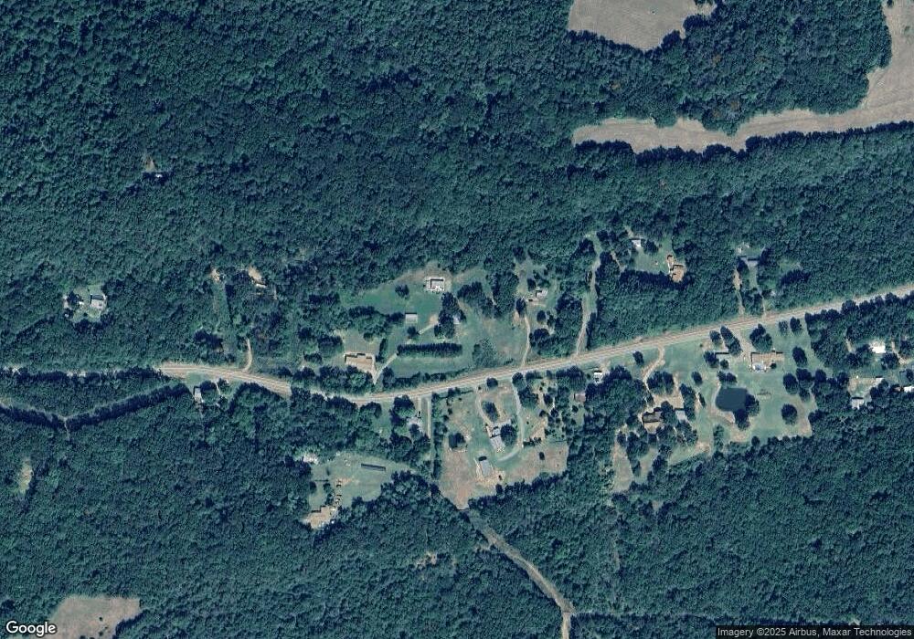
Map
Nearby Homes
- 14557 Cat Holler Rd
- 4150 Low Gap Rd
- 11108 Lee Point Rd Unit 11116 Lee Pt include
- TBD Winds Rd
- 3636 Highway 352
- 13542 Watalula Rd
- 15061 N Highway 23
- 3910 Stagecoach Rd
- 16439 N Highway 23
- 000 County Road 4001
- 4 acres Rollin Hills Ln
- 1214 Cataberry Run Rd
- 5210 Stagecoach Rd
- 5641 Stagecoach Rd
- 4811 Stagecoach Rd
- 14441 Lower Jethro Rd
- 755 Cripple Branch Rd
- 1353 N 2nd St
- 1296 County Road 4015
- 1457 N 2nd St
- 13341 Highway 219
- 13341 Arkansas 219
- 13365 Highway 219
- 13307 Highway 219
- 13324 Highway 219
- 13265 Highway 219
- 13402 Highway 219
- 13364 Highway 219
- 13437 Highway 219
- 13256 Highway 219
- 13330 Highway 219
- 13234 Highway 219
- 13458 Highway 219
- 13522 Highway 219
- 000 Cr 4001
- 13118 Highway 219
- 13107 Highway 219
- 13659 Highway 219
- 13024 Highway 219
- 13006 Highway 219