1334 Drift Rd Unit F Westport, MA 02790
Westport Point NeighborhoodEstimated Value: $888,000 - $1,100,422
2
Beds
--
Bath
1,508
Sq Ft
$653/Sq Ft
Est. Value
About This Home
This home is located at 1334 Drift Rd Unit F, Westport, MA 02790 and is currently estimated at $985,356, approximately $653 per square foot. 1334 Drift Rd Unit F is a home located in Bristol County with nearby schools including Alice A. Macomber Primary School, Westport Elementary School, and Westport Middle-High School.
Ownership History
Date
Name
Owned For
Owner Type
Purchase Details
Closed on
Oct 28, 2015
Sold by
Fontaine Joseph J
Bought by
Fontaine Joseph J and Fontaine Martha
Current Estimated Value
Purchase Details
Closed on
Jan 22, 2009
Sold by
Fontaine Cecile L
Bought by
Fontaine Cecile L and Fontaine Joseph J
Purchase Details
Closed on
Apr 10, 1974
Bought by
Fontaine Cecile L and Fontaine Joseph J
Create a Home Valuation Report for This Property
The Home Valuation Report is an in-depth analysis detailing your home's value as well as a comparison with similar homes in the area
Home Values in the Area
Average Home Value in this Area
Purchase History
| Date | Buyer | Sale Price | Title Company |
|---|---|---|---|
| Fontaine Joseph J | -- | -- | |
| Fontaine Cecile L | -- | -- | |
| Fontaine Cecile L | -- | -- |
Source: Public Records
Tax History Compared to Growth
Tax History
| Year | Tax Paid | Tax Assessment Tax Assessment Total Assessment is a certain percentage of the fair market value that is determined by local assessors to be the total taxable value of land and additions on the property. | Land | Improvement |
|---|---|---|---|---|
| 2025 | $7,474 | $1,003,200 | $804,800 | $198,400 |
| 2024 | $6,968 | $901,400 | $707,000 | $194,400 |
| 2023 | $6,978 | $855,200 | $673,400 | $181,800 |
| 2022 | $7,028 | $828,800 | $673,400 | $155,400 |
| 2021 | $5,880 | $682,100 | $528,700 | $153,400 |
| 2020 | $5,571 | $660,900 | $507,500 | $153,400 |
| 2019 | $6,009 | $726,600 | $577,000 | $149,600 |
| 2018 | $4,877 | $596,900 | $482,500 | $114,400 |
| 2017 | $4,770 | $598,500 | $482,500 | $116,000 |
| 2016 | $4,734 | $598,500 | $482,500 | $116,000 |
| 2015 | $4,712 | $594,200 | $482,500 | $111,700 |
Source: Public Records
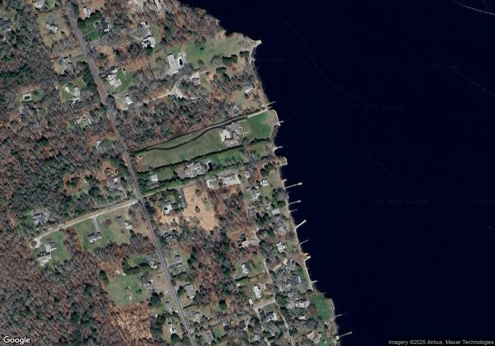
Map
Nearby Homes
- 99 Sylvia Ln
- 225 Hixbridge Rd
- 1346 Main Rd Unit B
- 920 Drift Rd
- 1580 Main Rd
- 1702J Drift Rd
- 1702 Drift Rd
- 1749 Main Rd
- 837 Main Rd
- 101 Adamsville Rd
- 1881 Main Rd
- 8 Village Way
- 7 Village Way
- 2 Slades Farm Ln
- 15 Village Way
- 73 White Oak Run
- 17 Quail Trail
- Lot 2 Horseneck Rd
- Lot 2E Horseneck Rd
- 8 Strawberry Ln
- 1334 Drift Rd Unit B
- 1334 Drift Rd Unit C
- 1334 Drift Rd Unit D
- 1334 Drift Rd Unit G
- 1334 Drift Rd Unit H
- 1334 Drift Rd Unit A
- 1334 Drift Rd
- 1334G Drift Rd
- 1334H Drift Rd
- 1380 Drift Rd Unit i
- 1380 Drift Rd
- 1380L Drift Rd
- 1380 Drift Rd
- 1380 Drift Rd Unit N
- 1380 Drift Rd
- 1380 Drift Rd Unit H
- 1380 Drift Rd Unit G
- 1380 Drift Rd
- 1380 Drift Rd
- 1380 Drift Rd