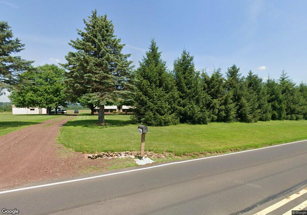
1334 Ferry Rd Doylestown, PA 18901
Estimated Value: $566,000 - $661,000
3
Beds
2
Baths
1,288
Sq Ft
$465/Sq Ft
Est. Value
About This Home
This home is located at 1334 Ferry Rd, Doylestown, PA 18901 and is currently estimated at $599,139, approximately $465 per square foot. 1334 Ferry Rd is a home located in Bucks County with nearby schools including Groveland Elementary School, Tohickon Middle School, and Central Bucks High School-West.
Ownership History
Date
Name
Owned For
Owner Type
Purchase Details
Closed on
Apr 20, 2022
Sold by
Brosious Karl E and Brosious Karen S
Bought by
Brosious Karen S and Brosious Karl E
Current Estimated Value
Home Financials for this Owner
Home Financials are based on the most recent Mortgage that was taken out on this home.
Original Mortgage
$200,000
Outstanding Balance
$173,967
Interest Rate
4.16%
Mortgage Type
New Conventional
Estimated Equity
$425,172
Purchase Details
Closed on
Dec 22, 1982
Sold by
First Pa Bk N A
Bought by
Brosious Karl E and Brosious Karen S
Create a Home Valuation Report for This Property
The Home Valuation Report is an in-depth analysis detailing your home's value as well as a comparison with similar homes in the area
Home Values in the Area
Average Home Value in this Area
Purchase History
| Date | Buyer | Sale Price | Title Company |
|---|---|---|---|
| Brosious Karen S | -- | Nationallink | |
| Brosious Karl E | $35,000 | -- |
Source: Public Records
Mortgage History
| Date | Status | Borrower | Loan Amount |
|---|---|---|---|
| Open | Brosious Karen S | $200,000 |
Source: Public Records
Tax History
| Year | Tax Paid | Tax Assessment Tax Assessment Total Assessment is a certain percentage of the fair market value that is determined by local assessors to be the total taxable value of land and additions on the property. | Land | Improvement |
|---|---|---|---|---|
| 2025 | $4,250 | $24,520 | $1,160 | $23,360 |
| 2024 | $4,250 | $24,520 | $1,160 | $23,360 |
| 2023 | $4,114 | $24,520 | $1,160 | $23,360 |
| 2022 | $4,033 | $24,520 | $1,160 | $23,360 |
| 2021 | $3,987 | $39,720 | $16,360 | $23,360 |
| 2020 | $3,987 | $39,720 | $16,360 | $23,360 |
| 2019 | $3,938 | $39,720 | $16,360 | $23,360 |
| 2018 | $3,938 | $39,720 | $16,360 | $23,360 |
| 2017 | $3,908 | $39,720 | $16,360 | $23,360 |
| 2016 | $3,908 | $39,720 | $16,360 | $23,360 |
| 2015 | -- | $39,720 | $16,360 | $23,360 |
| 2014 | -- | $39,720 | $16,360 | $23,360 |
Source: Public Records
Map
Nearby Homes
- 3688 Christopher Day Rd
- 3765 Christopher Day Rd
- 3799 Jacob Stout Rd Unit 1
- 3765 William Daves Rd
- 3838 Jacob Stout Rd
- 3642 Nancy Ward Cir Unit 43
- 4748 Bishop Cir
- 4645 Louise Saint Claire Dr
- 3904 Captain Molly Cir Unit 148
- 3910 Cephas Child Rd Unit 6
- 3970 Salome Rd
- Lot 6 Henry Ct
- 117 Cottonwood Ct
- 3601 Brooklet Terrace
- 4263 Kleinot Dr
- 4317 Kleinot Dr
- 807 N Broad St
- 4464 Kleinot Dr
- 4330 Kleinot Dr
- 4246 Kleinot Dr
Your Personal Tour Guide
Ask me questions while you tour the home.