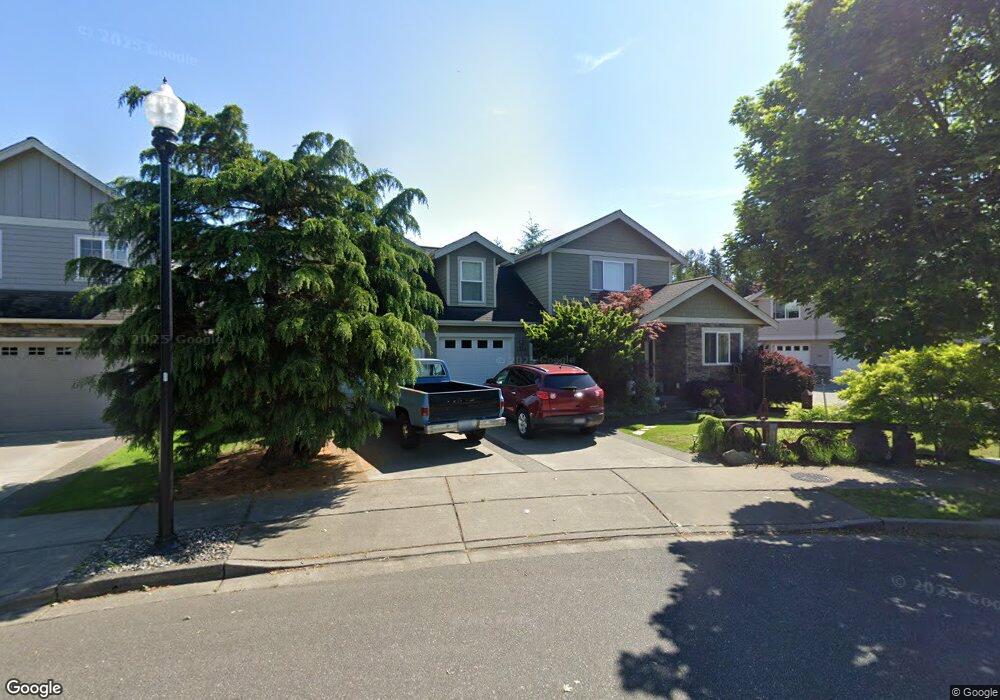
1334 Pearl Loop Lynden, WA 98264
Estimated Value: $632,981 - $731,000
3
Beds
3
Baths
2,290
Sq Ft
$298/Sq Ft
Est. Value
About This Home
This home is located at 1334 Pearl Loop, Lynden, WA 98264 and is currently estimated at $681,745, approximately $297 per square foot. 1334 Pearl Loop is a home located in Whatcom County with nearby schools including Lynden High School, Lynden Christian School, and Lynden Christian Schools: Administration.
Ownership History
Date
Name
Owned For
Owner Type
Purchase Details
Closed on
Jun 30, 2009
Sold by
Duke Development Corporation
Bought by
Hodgins Gary A and Hodgins Tuesday L
Current Estimated Value
Home Financials for this Owner
Home Financials are based on the most recent Mortgage that was taken out on this home.
Original Mortgage
$239,200
Outstanding Balance
$149,990
Interest Rate
4.87%
Mortgage Type
Purchase Money Mortgage
Estimated Equity
$531,755
Create a Home Valuation Report for This Property
The Home Valuation Report is an in-depth analysis detailing your home's value as well as a comparison with similar homes in the area
Home Values in the Area
Average Home Value in this Area
Purchase History
| Date | Buyer | Sale Price | Title Company |
|---|---|---|---|
| Hodgins Gary A | $299,280 | Chicago Title Insurance |
Source: Public Records
Mortgage History
| Date | Status | Borrower | Loan Amount |
|---|---|---|---|
| Open | Hodgins Gary A | $239,200 |
Source: Public Records
Tax History
| Year | Tax Paid | Tax Assessment Tax Assessment Total Assessment is a certain percentage of the fair market value that is determined by local assessors to be the total taxable value of land and additions on the property. | Land | Improvement |
|---|---|---|---|---|
| 2025 | $4,475 | $603,130 | $218,260 | $384,870 |
| 2024 | $4,177 | $590,774 | $194,000 | $396,774 |
| 2023 | $4,177 | $581,513 | $200,000 | $381,513 |
| 2022 | $4,140 | $543,753 | $135,383 | $408,370 |
| 2021 | $4,060 | $449,376 | $111,885 | $337,491 |
| 2020 | $3,556 | $401,240 | $99,900 | $301,340 |
| 2019 | $3,164 | $367,953 | $91,725 | $276,228 |
| 2018 | $3,458 | $335,602 | $83,558 | $252,044 |
| 2017 | $3,109 | $301,231 | $75,000 | $226,231 |
| 2016 | $2,924 | $288,057 | $60,500 | $227,557 |
| 2015 | $2,592 | $269,515 | $58,190 | $211,325 |
| 2014 | -- | $260,389 | $56,210 | $204,179 |
| 2013 | -- | $259,179 | $55,000 | $204,179 |
Source: Public Records
Map
Nearby Homes
- 167 Cambridge Dr
- 212 W Maberry Dr Unit 302
- 107 Springview Dr
- 137 E Cedar Dr
- 102 W Maberry Dr Unit D
- 8780 Depot Rd Unit 207
- 600 Sunrise Dr
- 114 Twin Sister Loop
- 301 S Park St
- 761 Sunrise Dr
- 8639 Bender Rd
- 805 Cedar Dr
- 8872 Depot Rd Unit 203
- 816 Cedar Dr
- 735 Ivy St
- 885 Sunrise Dr
- 1739 Emerald Way
- 0 Island Green Way
- 1877 Emerald Way
- 414 Edson St
- 1342 Pearl Loop
- 1326 Pearl Loop Unit A & B
- 1326 Pearl Loop
- 220 Springview Dr
- 218 Springview Dr
- 18 Pearl Lp
- 14 Pearl Lp
- 17 Pearl Lp
- 15 Pearl Lp
- 16 Pearl Lp
- 1350 Pearl Loop
- 222 Springview Dr
- 1318 Pearl Loop Unit A&B
- 1318 Pearl Loop Unit 1 & 2
- 1318 Pearl Loop Unit 2
- 1318 Pearl Loop Unit 1
- 1318 Pearl Loop
- 1337 Pearl Loop
- 1361 Pearl Loop
- 8616 Depot Rd
Your Personal Tour Guide
Ask me questions while you tour the home.