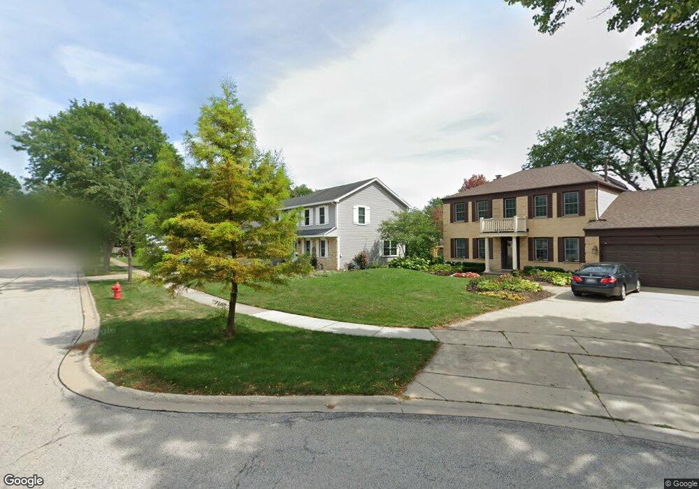
1334 Rose Ct W Buffalo Grove, IL 60089
South Buffalo Grove NeighborhoodEstimated Value: $524,000 - $601,000
4
Beds
3
Baths
2,058
Sq Ft
$276/Sq Ft
Est. Value
About This Home
This home is located at 1334 Rose Ct W, Buffalo Grove, IL 60089 and is currently estimated at $568,140, approximately $276 per square foot. 1334 Rose Ct W is a home located in Cook County with nearby schools including Henry W Longfellow Elementary School, Cooper Middle School, and Buffalo Grove High School.
Ownership History
Date
Name
Owned For
Owner Type
Purchase Details
Closed on
Jul 23, 2004
Sold by
Peterson William R and Peterson Janice L
Bought by
Amaral Edward and Amaral Joanna E
Current Estimated Value
Home Financials for this Owner
Home Financials are based on the most recent Mortgage that was taken out on this home.
Original Mortgage
$317,950
Outstanding Balance
$146,014
Interest Rate
5%
Mortgage Type
Unknown
Estimated Equity
$422,126
Purchase Details
Closed on
May 30, 1997
Sold by
Peterson William R
Bought by
Peterson William R and Peterson Janice I
Create a Home Valuation Report for This Property
The Home Valuation Report is an in-depth analysis detailing your home's value as well as a comparison with similar homes in the area
Home Values in the Area
Average Home Value in this Area
Purchase History
| Date | Buyer | Sale Price | Title Company |
|---|---|---|---|
| Amaral Edward | $427,000 | Attorneys Title Guaranty Fun | |
| Peterson William R | -- | -- |
Source: Public Records
Mortgage History
| Date | Status | Borrower | Loan Amount |
|---|---|---|---|
| Open | Amaral Edward | $317,950 |
Source: Public Records
Tax History Compared to Growth
Tax History
| Year | Tax Paid | Tax Assessment Tax Assessment Total Assessment is a certain percentage of the fair market value that is determined by local assessors to be the total taxable value of land and additions on the property. | Land | Improvement |
|---|---|---|---|---|
| 2024 | $11,741 | $40,000 | $9,727 | $30,273 |
| 2023 | $11,263 | $40,000 | $9,727 | $30,273 |
| 2022 | $11,263 | $40,000 | $9,727 | $30,273 |
| 2021 | $11,995 | $37,281 | $5,526 | $31,755 |
| 2020 | $11,751 | $37,281 | $5,526 | $31,755 |
| 2019 | $11,807 | $41,562 | $5,526 | $36,036 |
| 2018 | $13,499 | $42,631 | $4,863 | $37,768 |
| 2017 | $13,270 | $42,631 | $4,863 | $37,768 |
| 2016 | $12,605 | $42,631 | $4,863 | $37,768 |
| 2015 | $10,191 | $32,621 | $4,200 | $28,421 |
| 2014 | $10,040 | $32,621 | $4,200 | $28,421 |
| 2013 | $10,075 | $32,621 | $4,200 | $28,421 |
Source: Public Records
Map
Nearby Homes
- 715 W Whiting Ln
- 705 Grove Dr Unit 101
- 715 W Happfield Dr
- 751 W Happfield Dr Unit 30
- 812 W Whiting Ln
- 811 W Nichols Rd
- 921 Bernard Dr
- 720 Weidner Rd Unit 302
- 859 Beechwood Rd
- 571 Estate Dr
- 813 Stradford Cir Unit 21B2
- 535 Estate Dr
- 6 Villa Verde Dr Unit 103
- 820 Weidner Rd Unit 4013
- 820 Weidner Rd Unit 409
- 18 E Heritage Ct
- 3227 N Heritage Ln
- 1115 Miller Ln Unit 104
- 3222 N Heritage Ln
- 665 Thornwood Dr