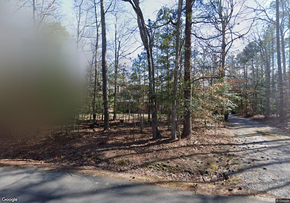
13341 Hensley Rd Midlothian, VA 23112
Estimated Value: $530,000 - $605,000
5
Beds
3
Baths
2,708
Sq Ft
$209/Sq Ft
Est. Value
About This Home
This home is located at 13341 Hensley Rd, Midlothian, VA 23112 and is currently estimated at $565,851, approximately $208 per square foot. 13341 Hensley Rd is a home located in Chesterfield County with nearby schools including Spring Run Elementary School, Bailey Bridge Middle School, and Manchester High.
Ownership History
Date
Name
Owned For
Owner Type
Purchase Details
Closed on
Oct 4, 2022
Sold by
Lawson Gara C
Bought by
Lawson Gara C and Lawson Samantha
Current Estimated Value
Purchase Details
Closed on
Jun 29, 2001
Bought by
Lawson Michael C and Lawson Gara C
Home Financials for this Owner
Home Financials are based on the most recent Mortgage that was taken out on this home.
Original Mortgage
$150,000
Interest Rate
7.14%
Mortgage Type
New Conventional
Create a Home Valuation Report for This Property
The Home Valuation Report is an in-depth analysis detailing your home's value as well as a comparison with similar homes in the area
Home Values in the Area
Average Home Value in this Area
Purchase History
| Date | Buyer | Sale Price | Title Company |
|---|---|---|---|
| Lawson Gara C | -- | None Listed On Document | |
| Lawson Gara C | -- | None Listed On Document | |
| Lawson Michael C | -- | -- |
Source: Public Records
Mortgage History
| Date | Status | Borrower | Loan Amount |
|---|---|---|---|
| Previous Owner | Lawson Michael C | $150,000 |
Source: Public Records
Tax History Compared to Growth
Tax History
| Year | Tax Paid | Tax Assessment Tax Assessment Total Assessment is a certain percentage of the fair market value that is determined by local assessors to be the total taxable value of land and additions on the property. | Land | Improvement |
|---|---|---|---|---|
| 2025 | $3,998 | $446,400 | $81,000 | $365,400 |
| 2024 | $3,998 | $426,700 | $77,000 | $349,700 |
| 2023 | $3,483 | $382,800 | $75,000 | $307,800 |
| 2022 | $3,669 | $398,800 | $69,500 | $329,300 |
| 2021 | $3,429 | $358,300 | $67,500 | $290,800 |
| 2020 | $3,280 | $345,300 | $67,500 | $277,800 |
| 2019 | $3,098 | $326,100 | $65,500 | $260,600 |
| 2018 | $3,017 | $323,300 | $64,400 | $258,900 |
| 2017 | $2,912 | $298,100 | $63,400 | $234,700 |
| 2016 | $2,748 | $286,300 | $62,400 | $223,900 |
| 2015 | $2,605 | $268,800 | $60,400 | $208,400 |
| 2014 | $2,578 | $265,900 | $58,400 | $207,500 |
Source: Public Records
Map
Nearby Homes
- 12900 Craftsbury Ct
- 10001 Craftsbury Dr
- 13100 Fieldfare Dr
- 14219 Ashleyville Ln
- 9400 Kinnerton Dr
- 13006 Hensley Rd
- 14300 Brading Ct
- 10302 Teelin Ct
- 14412 Mission Hills Loop
- 12841 Penny Ln
- 14537 Parracombe Ln
- 14007 Palomino Way
- 10119 Cravensford Terrace
- 13727 Nashua Terrace
- 14536 Forest Row Trail
- 13824 Brandycrest Dr
- 13306 Prince James Dr
- 8937 Sawgrass Place
- 13619 Brandy Oaks Rd
- 14261 Spyglass Hill Cir
- 13331 Hensley Rd
- 13351 Hensley Rd
- 13330 Hensley Rd
- 13401 Hensley Rd
- 13400 Hensley Rd
- 13361 Hensley Rd
- 13411 Hensley Rd
- 13410 Hensley Rd
- 13301 Hensley Rd
- 13340 Hensley Rd
- 12918 Broad Iron Ct
- 13421 Hensley Rd
- 13420 Hensley Rd
- 13300 Hensley Rd
- 13320 Hensley Rd
- 12925 Craftsbury Ct
- 12919 Craftsbury Ct
- 12906 Broad Iron Ct
- 12907 Broad Iron Ct
- 12913 Broad Iron Ct