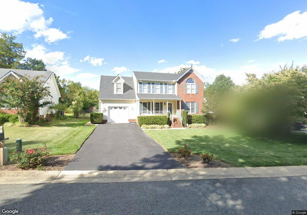
13342 Mulligan Ct Midlothian, VA 23113
Estimated Value: $410,000 - $437,000
3
Beds
3
Baths
1,938
Sq Ft
$216/Sq Ft
Est. Value
About This Home
This home is located at 13342 Mulligan Ct, Midlothian, VA 23113 and is currently estimated at $418,418, approximately $215 per square foot. 13342 Mulligan Ct is a home located in Chesterfield County with nearby schools including J B Watkins Elementary School, Midlothian Middle School, and Midlothian High School.
Ownership History
Date
Name
Owned For
Owner Type
Purchase Details
Closed on
Feb 22, 2007
Sold by
Odegard Michael
Bought by
Routas Nicholas
Current Estimated Value
Home Financials for this Owner
Home Financials are based on the most recent Mortgage that was taken out on this home.
Original Mortgage
$289,000
Outstanding Balance
$174,155
Interest Rate
6.27%
Mortgage Type
New Conventional
Estimated Equity
$244,263
Purchase Details
Closed on
Aug 13, 2002
Sold by
Mckenney David L
Bought by
Odegard Michelle
Home Financials for this Owner
Home Financials are based on the most recent Mortgage that was taken out on this home.
Original Mortgage
$150,350
Interest Rate
6.58%
Mortgage Type
New Conventional
Purchase Details
Closed on
Sep 21, 1999
Sold by
Beers & White Inc
Bought by
Mckenney David L and Mckenney Joan S
Create a Home Valuation Report for This Property
The Home Valuation Report is an in-depth analysis detailing your home's value as well as a comparison with similar homes in the area
Home Values in the Area
Average Home Value in this Area
Purchase History
| Date | Buyer | Sale Price | Title Company |
|---|---|---|---|
| Routas Nicholas | $289,000 | -- | |
| Odegard Michelle | $187,950 | -- | |
| Mckenney David L | $153,569 | -- |
Source: Public Records
Mortgage History
| Date | Status | Borrower | Loan Amount |
|---|---|---|---|
| Open | Routas Nicholas | $289,000 | |
| Previous Owner | Mckenney David L | $150,350 |
Source: Public Records
Tax History Compared to Growth
Tax History
| Year | Tax Paid | Tax Assessment Tax Assessment Total Assessment is a certain percentage of the fair market value that is determined by local assessors to be the total taxable value of land and additions on the property. | Land | Improvement |
|---|---|---|---|---|
| 2025 | $3,124 | $348,200 | $80,000 | $268,200 |
| 2024 | $3,124 | $319,200 | $66,000 | $253,200 |
| 2023 | $2,714 | $298,200 | $61,000 | $237,200 |
| 2022 | $2,705 | $294,000 | $59,000 | $235,000 |
| 2021 | $2,755 | $283,000 | $57,000 | $226,000 |
| 2020 | $2,569 | $270,400 | $57,000 | $213,400 |
| 2019 | $2,486 | $261,700 | $56,000 | $205,700 |
| 2018 | $2,440 | $256,800 | $55,000 | $201,800 |
| 2017 | $2,396 | $249,600 | $55,000 | $194,600 |
| 2016 | $2,280 | $237,500 | $52,000 | $185,500 |
| 2015 | $2,273 | $234,200 | $52,000 | $182,200 |
| 2014 | $2,211 | $227,700 | $52,000 | $175,700 |
Source: Public Records
Map
Nearby Homes
- 1510 Sycamore Square Dr Unit 1510
- 103 This Way
- 109 This Way
- 115 This Way
- 121 This Way
- 13289 Coalfield Station Ln
- 218 That Way
- 224 That Way
- 200 That Way
- 206 That Way
- 212 That Way
- 127 This Way
- 13801 Riverlight Dr
- 13807 Riverlight Dr
- 13813 Riverlight Dr
- 13819 Riverlight Dr
- 13825 Riverlight Dr
- 13831 Riverlight Dr
- 107 Avenda Ln
- 13901 Riverlight Dr
- 13348 Mulligan Ct
- 13336 Mulligan Ct
- 13330 Mulligan Ct
- 1109 Salisbury Dr
- 1123 Salisbury Dr
- 13324 Mulligan Ct
- 13337 Mulligan Ct
- 13331 Mulligan Ct
- 13318 Mulligan Ct
- 1101 Salisbury Dr
- 13325 Mulligan Ct
- 1201 Salisbury Dr
- 1125 Salisbury Dr
- 1108 Salisbury Dr
- 13312 Mulligan Ct
- 1100 Salisbury Dr
- 13319 Mulligan Ct
- 1200 Salisbury Dr
- 1211 Salisbury Dr
- 1026 Salisbury Dr