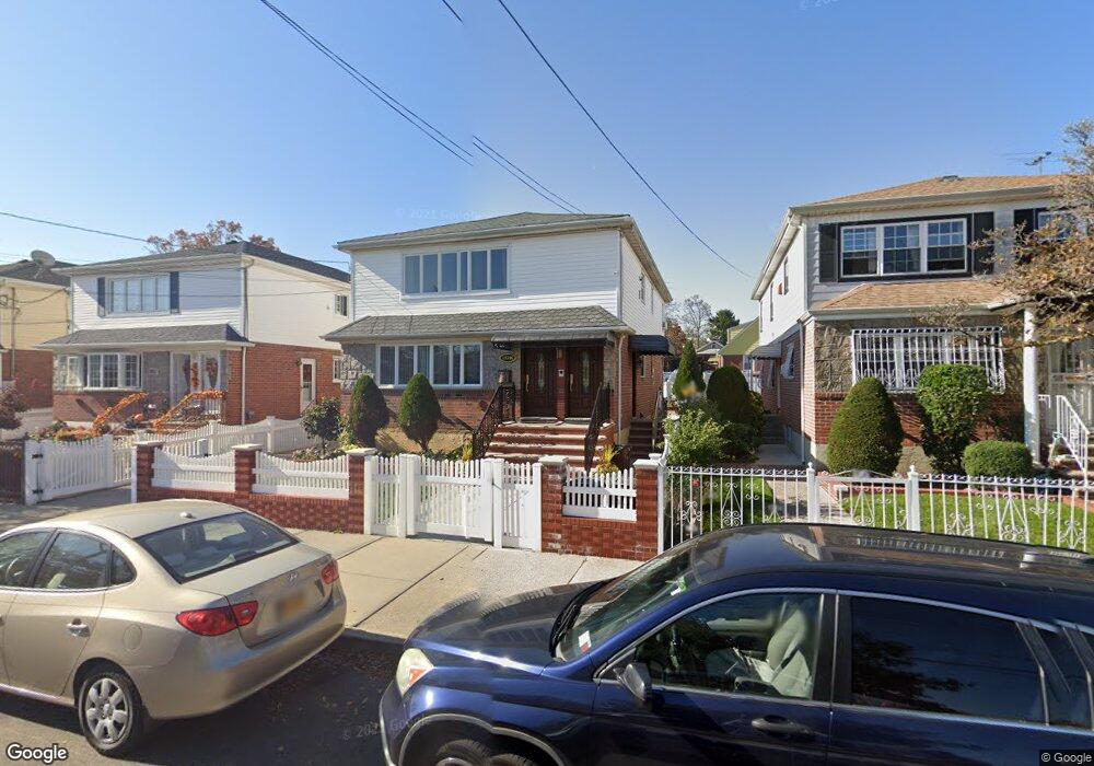
13346 124th St South Ozone Park, NY 11420
South Ozone Park NeighborhoodEstimated Value: $1,029,137 - $1,438,000
--
Bed
--
Bath
2,444
Sq Ft
$510/Sq Ft
Est. Value
About This Home
This home is located at 13346 124th St, South Ozone Park, NY 11420 and is currently estimated at $1,246,534, approximately $510 per square foot. 13346 124th St is a home located in Queens County with nearby schools including Ps 124 Osmond A Church, J.H.S. 226 Virgil I. Grisson, and John Adams High School.
Ownership History
Date
Name
Owned For
Owner Type
Purchase Details
Closed on
Jan 16, 1997
Sold by
Nicastro Edward
Bought by
Mangal Jewrajie and Mangal Dilrajie R
Current Estimated Value
Home Financials for this Owner
Home Financials are based on the most recent Mortgage that was taken out on this home.
Original Mortgage
$228,600
Outstanding Balance
$24,886
Interest Rate
7.78%
Estimated Equity
$1,221,648
Create a Home Valuation Report for This Property
The Home Valuation Report is an in-depth analysis detailing your home's value as well as a comparison with similar homes in the area
Home Values in the Area
Average Home Value in this Area
Purchase History
| Date | Buyer | Sale Price | Title Company |
|---|---|---|---|
| Mangal Jewrajie | $254,000 | Commonwealth Land Title Ins |
Source: Public Records
Mortgage History
| Date | Status | Borrower | Loan Amount |
|---|---|---|---|
| Open | Mangal Jewrajie | $228,600 |
Source: Public Records
Tax History Compared to Growth
Tax History
| Year | Tax Paid | Tax Assessment Tax Assessment Total Assessment is a certain percentage of the fair market value that is determined by local assessors to be the total taxable value of land and additions on the property. | Land | Improvement |
|---|---|---|---|---|
| 2025 | $10,426 | $53,309 | $7,042 | $46,267 |
| 2024 | $10,438 | $53,309 | $8,437 | $44,872 |
| 2023 | $9,874 | $50,561 | $7,775 | $42,786 |
| 2022 | $9,676 | $61,800 | $10,740 | $51,060 |
| 2021 | $9,614 | $51,240 | $10,740 | $40,500 |
| 2020 | $9,107 | $48,180 | $10,740 | $37,440 |
| 2019 | $9,000 | $53,100 | $10,740 | $42,360 |
| 2018 | $8,291 | $42,134 | $10,504 | $31,630 |
| 2017 | $8,179 | $41,595 | $10,561 | $31,034 |
| 2016 | $7,535 | $41,595 | $10,561 | $31,034 |
| 2015 | $4,574 | $37,020 | $11,940 | $25,080 |
| 2014 | $4,574 | $37,020 | $11,940 | $25,080 |
Source: Public Records
Map
Nearby Homes
- 135-42 124th St
- 133-50 123rd St
- 135-43 124th St
- 135-47 124th St
- 133-25 127th St
- 135-56 124th St
- 13512 122nd Place
- 13035 126th St
- 13344 122nd St
- 13011 124th St
- 122-05 133rd Ave
- 130-12 124th St
- 135-28 122nd St
- 129-14 135th Ave
- 121-14 149 Ave
- 12114 149th Ave
- 117-68 126th St
- 12808 Sutter Ave
- 13015 129th St
- 131-15 130th St
- 13350 124th St
- 13350 124th St
- 13342 124th St
- 13354 124th St Unit 2
- 13354 124th St
- 133-54 124th St
- 13338 124th St
- 13345 123rd St
- 13341 123rd St
- 13349 123rd St
- 13358 124th St
- 133-41 123rd St
- 13353 123rd St
- 13337 123rd St
- 13334 124th St
- 13345 124th St
- 13341 124th St
- 13357 123rd St
- 13335 123rd St
- 13357 123rd St