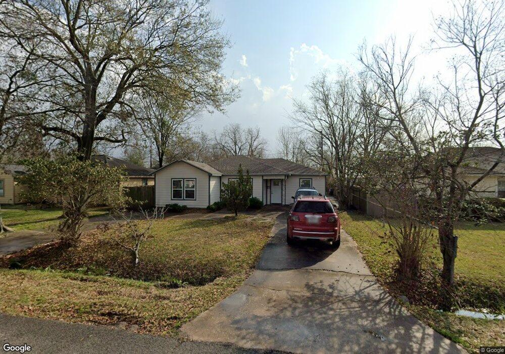
13346 Force St Houston, TX 77015
North Shore NeighborhoodEstimated Value: $175,000 - $231,000
4
Beds
1
Bath
1,850
Sq Ft
$108/Sq Ft
Est. Value
About This Home
This home is located at 13346 Force St, Houston, TX 77015 and is currently estimated at $198,939, approximately $107 per square foot. 13346 Force St is a home located in Harris County with nearby schools including Green Valley Elementary School, Cobb 6th Grade Campus, and Cunningham Middle School.
Ownership History
Date
Name
Owned For
Owner Type
Purchase Details
Closed on
Feb 24, 2004
Sold by
Terry Ray and Terry Judy
Bought by
Guerra Huberto
Current Estimated Value
Home Financials for this Owner
Home Financials are based on the most recent Mortgage that was taken out on this home.
Original Mortgage
$69,000
Outstanding Balance
$32,001
Interest Rate
5.67%
Mortgage Type
Purchase Money Mortgage
Estimated Equity
$166,938
Purchase Details
Closed on
Dec 17, 2002
Sold by
Gandy Jack C
Bought by
Terry Ray
Create a Home Valuation Report for This Property
The Home Valuation Report is an in-depth analysis detailing your home's value as well as a comparison with similar homes in the area
Home Values in the Area
Average Home Value in this Area
Purchase History
| Date | Buyer | Sale Price | Title Company |
|---|---|---|---|
| Guerra Huberto | -- | Texas American Title Company | |
| Terry Ray | -- | Texas American Title Company |
Source: Public Records
Mortgage History
| Date | Status | Borrower | Loan Amount |
|---|---|---|---|
| Open | Guerra Huberto | $69,000 | |
| Closed | Terry Ray | $0 |
Source: Public Records
Tax History Compared to Growth
Tax History
| Year | Tax Paid | Tax Assessment Tax Assessment Total Assessment is a certain percentage of the fair market value that is determined by local assessors to be the total taxable value of land and additions on the property. | Land | Improvement |
|---|---|---|---|---|
| 2025 | $7 | $170,896 | $63,600 | $107,296 |
| 2024 | $7 | $165,866 | $63,600 | $102,266 |
| 2023 | $7 | $202,921 | $55,650 | $147,271 |
| 2022 | $2,962 | $163,090 | $47,700 | $115,390 |
| 2021 | $2,892 | $114,615 | $34,185 | $80,430 |
| 2020 | $2,690 | $98,937 | $34,185 | $64,752 |
| 2019 | $2,568 | $90,906 | $31,005 | $59,901 |
| 2018 | $312 | $78,448 | $18,792 | $59,656 |
| 2017 | $2,250 | $78,448 | $18,792 | $59,656 |
| 2016 | $2,046 | $72,086 | $16,835 | $55,251 |
| 2015 | $199 | $66,546 | $16,835 | $49,711 |
| 2014 | $199 | $56,976 | $16,835 | $40,141 |
Source: Public Records
Map
Nearby Homes
- 13350 Granada St
- 13346 Louisville St
- 13379 Louisville St
- 13351 Oak Leaf Ln
- 13218 Indianapolis St
- 13326 Joliet St
- 13102 Labelle Ln
- 13123 Labelle Ln
- 13529 Granada St
- 505 Evanston St
- 13505 Orleans St
- 13430 Orleans St
- 13331 Emporia St
- 13362 Emporia St
- 13122 Emporia St
- 702 Redondo Dr
- 12955 Woodforest Blvd Unit 77
- 12955 Woodforest Blvd Unit 81
- 12955 Woodforest Blvd Unit 53
- 12955 Woodforest Blvd Unit 37
- 13342 Force St
- 13350 Force St
- 13354 Force St
- 13338 Force St
- 13347 Halifax St
- 13343 Halifax St
- 13351 Halifax St
- 13355 Halifax St
- 13339 Halifax St
- 13358 Force St
- 13334 Force St
- 13347 Force St
- 13351 Force St
- 13343 Force St
- 13359 Halifax St
- 13335 Halifax St
- 13355 Force St
- 13339 Force St
- 13362 Force St
- 13330 Force St