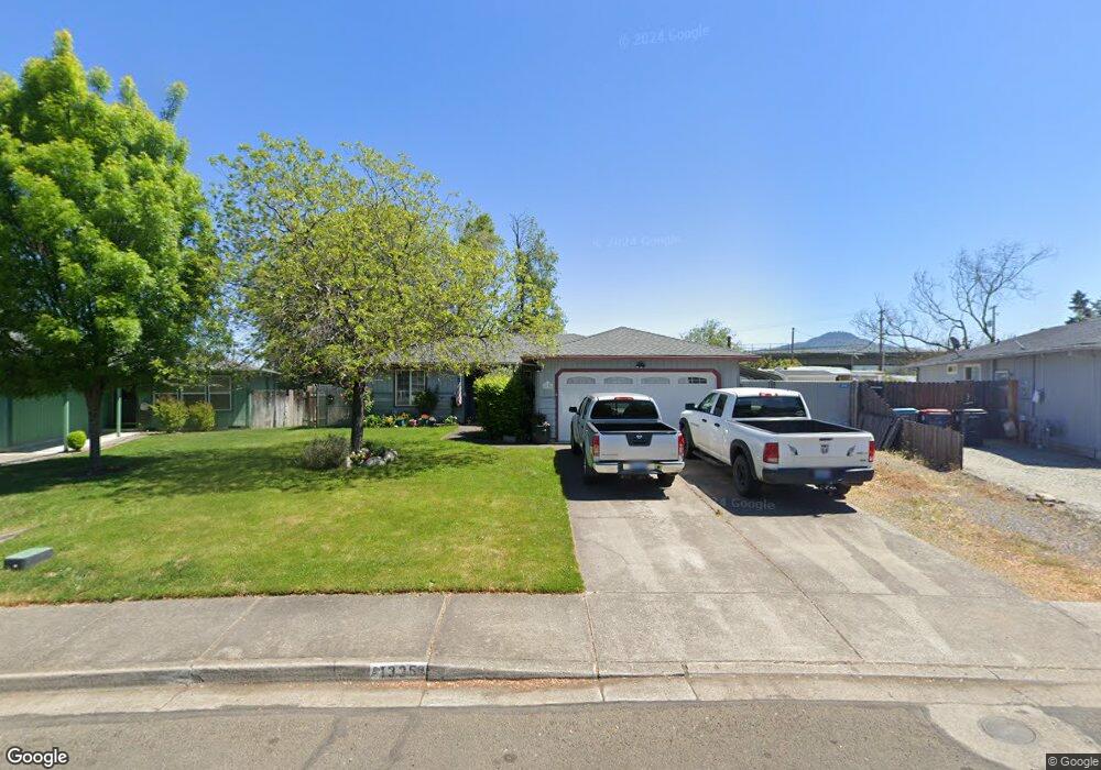
1335 Far West Ave Unit 3 Central Point, OR 97502
Estimated Value: $331,000 - $356,154
3
Beds
2
Baths
1,180
Sq Ft
$295/Sq Ft
Est. Value
About This Home
This home is located at 1335 Far West Ave Unit 3, Central Point, OR 97502 and is currently estimated at $348,039, approximately $294 per square foot. 1335 Far West Ave Unit 3 is a home located in Jackson County with nearby schools including Howard Elementary School, McLoughlin Middle School, and North Medford High School.
Ownership History
Date
Name
Owned For
Owner Type
Purchase Details
Closed on
Jul 22, 2011
Sold by
Sorenson Kirk E and Sorenson Eva L
Bought by
Cadwallader Keith and Cadwallader Dolores
Current Estimated Value
Home Financials for this Owner
Home Financials are based on the most recent Mortgage that was taken out on this home.
Original Mortgage
$120,537
Outstanding Balance
$82,691
Interest Rate
4.45%
Mortgage Type
VA
Estimated Equity
$265,348
Create a Home Valuation Report for This Property
The Home Valuation Report is an in-depth analysis detailing your home's value as well as a comparison with similar homes in the area
Home Values in the Area
Average Home Value in this Area
Purchase History
| Date | Buyer | Sale Price | Title Company |
|---|---|---|---|
| Cadwallader Keith | $118,000 | Ticor Title Company Oregon |
Source: Public Records
Mortgage History
| Date | Status | Borrower | Loan Amount |
|---|---|---|---|
| Open | Cadwallader Keith | $120,537 |
Source: Public Records
Tax History Compared to Growth
Tax History
| Year | Tax Paid | Tax Assessment Tax Assessment Total Assessment is a certain percentage of the fair market value that is determined by local assessors to be the total taxable value of land and additions on the property. | Land | Improvement |
|---|---|---|---|---|
| 2025 | $2,992 | $178,860 | $52,900 | $125,960 |
| 2024 | $2,992 | $173,660 | $51,360 | $122,300 |
| 2023 | $2,901 | $168,610 | $49,860 | $118,750 |
| 2022 | $2,829 | $168,610 | $49,860 | $118,750 |
| 2021 | $2,755 | $163,700 | $48,410 | $115,290 |
| 2020 | $2,686 | $158,940 | $47,010 | $111,930 |
| 2019 | $2,620 | $149,830 | $44,320 | $105,510 |
| 2018 | $2,551 | $145,470 | $43,030 | $102,440 |
| 2017 | $2,501 | $145,470 | $43,030 | $102,440 |
| 2016 | $2,447 | $137,130 | $40,560 | $96,570 |
| 2015 | $2,352 | $137,130 | $40,560 | $96,570 |
| 2014 | $2,309 | $129,270 | $38,240 | $91,030 |
Source: Public Records
Map
Nearby Homes
- 529 Black Bear Dr
- 3119 Merriman Rd
- 811 O'Hare Pkwy
- 2772 Merriman Rd
- 246 Reanna Way
- 450 Midway Rd Unit 16
- 450 Midway Rd Unit 5
- 2825 Howard Ave
- 2621 Merriman Rd Unit 3000
- 191 Mellecker Way
- 199 Mellecker Way
- 2605 Merriman Rd Unit 3101
- 2587 Merriman Rd Unit 3200
- 1025 Fairfield Ave
- 1017 Fairfield Ave
- 2573 Merriman Rd Unit 3300
- 659 Herman Ave
- 881 Westrop Dr
- 1060 Hopkins Rd
- 2536 Seneca St
- 1331 Far West Ave Unit 3
- 1339 Far West Ave
- 1339 Far Ave W
- 3163 Table Rock Rd
- 1329 Far West Ave
- 3008 Far West Ave
- 3008 Far Ave W
- 1326 Far West Ave
- 1326 Far Ave W
- 3151 Table Rock Rd
- 1323 Far West Ave
- 102 Shadowwood Ct
- 3007 Far West Ave
- 3000 Far West Ave
- 102 Shadow Wood Ct
- 3007 Far Ave W
- 1287 Far West Ave
- 1287 Far Ave W
- 427 Arnwood St
- 2990 Far West Ave