1335 Hg Miles Dr NE Townsend, GA 31331
Estimated Value: $231,000 - $309,000
2
Beds
2
Baths
1,440
Sq Ft
$194/Sq Ft
Est. Value
About This Home
This home is located at 1335 Hg Miles Dr NE, Townsend, GA 31331 and is currently estimated at $279,471, approximately $194 per square foot. 1335 Hg Miles Dr NE is a home with nearby schools including Todd Grant Elementary School, McIntosh County Middle School, and McIntosh County Academy.
Ownership History
Date
Name
Owned For
Owner Type
Purchase Details
Closed on
Oct 6, 2020
Sold by
Camcor Llc
Bought by
Godbee Michael and Godbee Ashley
Current Estimated Value
Home Financials for this Owner
Home Financials are based on the most recent Mortgage that was taken out on this home.
Original Mortgage
$28,924
Interest Rate
2.8%
Mortgage Type
New Conventional
Purchase Details
Closed on
Jul 27, 2018
Sold by
Waters James R
Bought by
Camcor Llc
Purchase Details
Closed on
Jul 28, 2004
Sold by
M A M Development Company I
Bought by
Waters James R
Create a Home Valuation Report for This Property
The Home Valuation Report is an in-depth analysis detailing your home's value as well as a comparison with similar homes in the area
Home Values in the Area
Average Home Value in this Area
Purchase History
| Date | Buyer | Sale Price | Title Company |
|---|---|---|---|
| Godbee Michael | $28,000 | -- | |
| Camcor Llc | $22,000 | -- | |
| Waters James R | $28,000 | -- |
Source: Public Records
Mortgage History
| Date | Status | Borrower | Loan Amount |
|---|---|---|---|
| Closed | Godbee Michael | $28,924 |
Source: Public Records
Tax History Compared to Growth
Tax History
| Year | Tax Paid | Tax Assessment Tax Assessment Total Assessment is a certain percentage of the fair market value that is determined by local assessors to be the total taxable value of land and additions on the property. | Land | Improvement |
|---|---|---|---|---|
| 2024 | $1,910 | $63,360 | $6,127 | $57,233 |
| 2023 | $2,709 | $91,840 | $8,800 | $83,040 |
| 2022 | $1,197 | $43,000 | $8,800 | $34,200 |
| 2021 | $234 | $8,800 | $8,800 | $0 |
| 2020 | $234 | $8,800 | $8,800 | $0 |
| 2019 | $234 | $8,800 | $8,800 | $0 |
| 2018 | $186 | $7,000 | $7,000 | $0 |
| 2017 | $186 | $7,000 | $7,000 | $0 |
| 2016 | $186 | $7,000 | $7,000 | $0 |
| 2015 | $186 | $7,000 | $7,000 | $0 |
| 2014 | $187 | $7,000 | $7,000 | $0 |
Source: Public Records
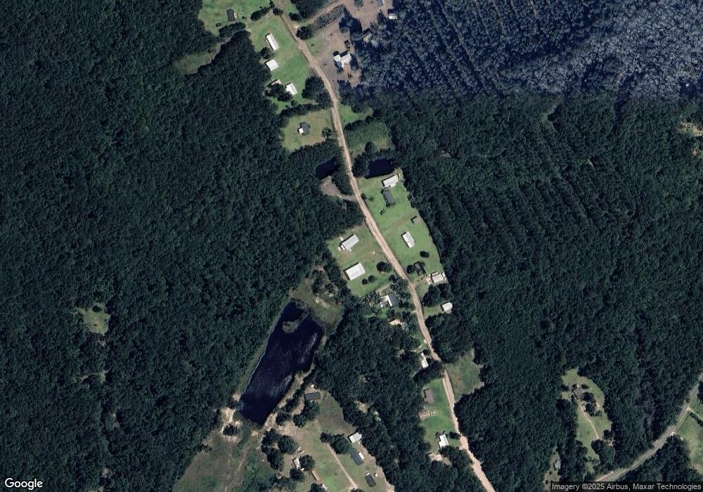
Map
Nearby Homes
- 7272 Shellman Bluff Rd NE Unit 14
- 7272 Shellman Bluff Rd NE Unit 21
- 7272 Shellman Bluff Rd NE
- 7272 Shellman Bluff Rd NE Unit 17
- 1033 Mayflower Rd NE Unit A
- 7389 Shellman Bluff Rd NE
- 1079 Mayflower Rd NE
- Lot 266 NE Coopers Point Dr NE
- 1186 Coopers Point Dr NE
- xx Sapelo Park Dr NE
- 1067 Polson Cir NE
- 1077 Polson Cir NE
- 1092 Polson Cir NE
- 642 NE Dune Meadow Dr
- 1069 Shellman Hammock Dr NE
- Lot 130 Sapelo Park Dr NE
- Lot 129 Sapelo Park NE
- 1068 Picnic Ln NE
- Lot 617 Coopers Landing Dr NE
- LOT 230 Coopers Landing Dr NE
- 1349 Kens Way NE
- 7083 Shellman Bluff Rd NE
- 7101 Shellman Bluff Rd NE
- 7183 Shellman Bluff Rd NE
- 1108 Boat Yard Way NE
- 100 Sapelo Park NE
- 7272 Shellman Bluff Rd
- 7272 Shellman Bluff Rd Unit 9
- 7272 Shellman Bluff Rd Unit 11
- 7272 Shellman Bluff Rd Unit 31
- 7272 Shellman Bluff Rd Unit 8
- 7272 Shellman Bluff Rd Unit 7A
- 7272 Shellman Bluff Rd Unit 30
- 7272 Shellman Bluff Rd Unit 32
- 7272 Shellman Bluff Rd Unit 21
- 7272 Shellman Bluff Rd Unit 22
- 7272 Shellman Bluff Rd Unit 25
- 7272 Shellman Bluff Rd NE Unit 23
- 7272 Shellman Bluff Rd NE Unit 14
- 7272 Shellman Bluff Rd NE