Estimated Value: $104,836 - $208,000
Studio
--
Bath
300
Sq Ft
$477/Sq Ft
Est. Value
About This Home
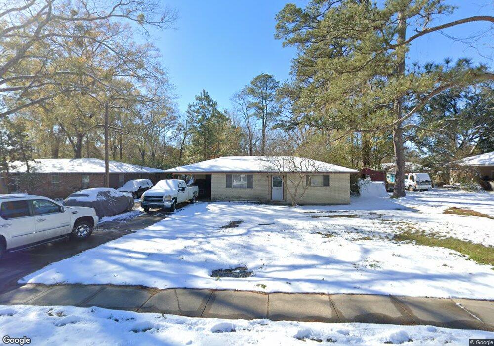
This home is located at 1335 Mchugh Rd, Baker, LA 70714 and is currently estimated at $143,209, approximately $477 per square foot. 1335 Mchugh Rd is a home located in East Baton Rouge Parish with nearby schools including Baker Heights Elementary School, Baker Middle School, and Baker High School.
Ownership History
Date
Name
Owned For
Owner Type
Purchase Details
Closed on
Feb 28, 2023
Sold by
Yllander Linda Clingan
Bought by
Polk Range Bessie
Current Estimated Value
Purchase Details
Closed on
Jul 30, 1999
Sold by
Worley Walter Alan
Bought by
Hicks Denise Elaine
Home Financials for this Owner
Home Financials are based on the most recent Mortgage that was taken out on this home.
Original Mortgage
$50,473
Interest Rate
7.63%
Mortgage Type
FHA
Create a Home Valuation Report for This Property
The Home Valuation Report is an in-depth analysis detailing your home's value as well as a comparison with similar homes in the area
Home Values in the Area
Average Home Value in this Area
Purchase History
| Date | Buyer | Sale Price | Title Company |
|---|---|---|---|
| Polk Range Bessie | $120,000 | -- | |
| Hicks Denise Elaine | $50,500 | -- |
Source: Public Records
Mortgage History
| Date | Status | Borrower | Loan Amount |
|---|---|---|---|
| Previous Owner | Hicks Denise Elaine | $50,473 |
Source: Public Records
Tax History
| Year | Tax Paid | Tax Assessment Tax Assessment Total Assessment is a certain percentage of the fair market value that is determined by local assessors to be the total taxable value of land and additions on the property. | Land | Improvement |
|---|---|---|---|---|
| 2024 | $138 | $8,400 | $1,232 | $7,168 |
| 2023 | $135 | $7,500 | $1,100 | $6,400 |
| 2022 | $842 | $7,500 | $1,100 | $6,400 |
| 2021 | $835 | $7,500 | $1,100 | $6,400 |
| 2020 | $846 | $7,500 | $1,100 | $6,400 |
| 2019 | $752 | $6,450 | $1,100 | $5,350 |
| 2018 | $742 | $6,450 | $1,100 | $5,350 |
| 2017 | $742 | $6,450 | $1,100 | $5,350 |
| 2016 | $28 | $4,578 | $1,100 | $3,478 |
| 2015 | $39 | $6,300 | $1,100 | $5,200 |
| 2014 | $39 | $6,300 | $1,100 | $5,200 |
| 2013 | -- | $6,300 | $1,100 | $5,200 |
Source: Public Records
Map
Nearby Homes
- 1306 Hazeloak Dr
- Lot E Hazeloak Dr
- Lot C Hazeloak Dr
- 1855 Mchugh Rd
- 1011 Sherron Ave
- 4907 Baker Blvd
- 5071 Baker Blvd
- 5245 Groom Rd
- 5125 Weston St
- 5137 Weston St
- TBD Baker Blvd
- 1006 Shilo Ave
- 1261 Doctor Mlk Junior Ln
- 1271 Doctor Mlk Junior Ln
- 4208 Gibbens Payne Ave
- 5203 Circle Dr
- 4406 Fourchon Dr
- 4807 Tristian Ave
- 3639 Groom Rd
- 4502 Fausse Dr
Your Personal Tour Guide
Ask me questions while you tour the home.