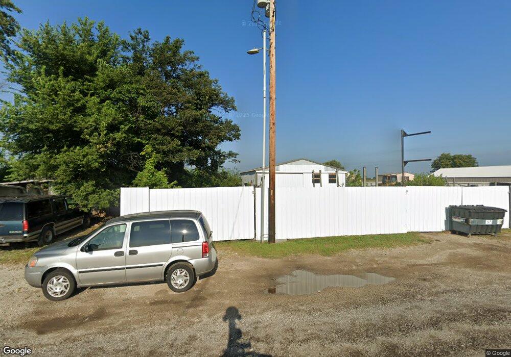
1335 N State Route 121 Mount Zion, IL 62549
Estimated Value: $401,882
--
Bed
--
Bath
--
Sq Ft
1.49
Acres
About This Home
This home is located at 1335 N State Route 121, Mount Zion, IL 62549 and is currently priced at $401,882. 1335 N State Route 121 is a home located in Macon County with nearby schools including McGaughey Elementary School, Mt. Zion Intermediate School, and Mt. Zion Elementary School.
Ownership History
Date
Name
Owned For
Owner Type
Purchase Details
Closed on
Mar 27, 2025
Sold by
121 Motorsports Inc
Bought by
1335 Mtz Building Llc
Current Estimated Value
Home Financials for this Owner
Home Financials are based on the most recent Mortgage that was taken out on this home.
Original Mortgage
$320,000
Outstanding Balance
$317,975
Interest Rate
6.87%
Mortgage Type
Credit Line Revolving
Purchase Details
Closed on
Jan 19, 2006
Sold by
Selle Sam D
Bought by
Ganley Larry L and Hott Troy L
Create a Home Valuation Report for This Property
The Home Valuation Report is an in-depth analysis detailing your home's value as well as a comparison with similar homes in the area
Home Values in the Area
Average Home Value in this Area
Purchase History
| Date | Buyer | Sale Price | Title Company |
|---|---|---|---|
| 1335 Mtz Building Llc | $400,000 | None Listed On Document | |
| Ganley Larry L | $365,000 | None Available |
Source: Public Records
Mortgage History
| Date | Status | Borrower | Loan Amount |
|---|---|---|---|
| Open | 1335 Mtz Building Llc | $320,000 |
Source: Public Records
Tax History Compared to Growth
Tax History
| Year | Tax Paid | Tax Assessment Tax Assessment Total Assessment is a certain percentage of the fair market value that is determined by local assessors to be the total taxable value of land and additions on the property. | Land | Improvement |
|---|---|---|---|---|
| 2024 | $12,384 | $158,655 | $29,339 | $129,316 |
| 2023 | $12,050 | $147,559 | $27,287 | $120,272 |
| 2022 | $11,582 | $139,958 | $25,881 | $114,077 |
| 2021 | $11,311 | $131,117 | $24,246 | $106,871 |
| 2020 | $10,935 | $128,245 | $23,715 | $104,530 |
| 2019 | $10,935 | $128,245 | $23,715 | $104,530 |
| 2018 | $10,630 | $124,971 | $23,110 | $101,861 |
| 2017 | $10,507 | $122,569 | $22,666 | $99,903 |
| 2016 | $10,422 | $120,437 | $22,272 | $98,165 |
| 2015 | $10,090 | $119,244 | $22,051 | $97,193 |
| 2014 | $9,727 | $119,244 | $22,051 | $97,193 |
| 2013 | $9,840 | $119,244 | $22,051 | $97,193 |
Source: Public Records
Map
Nearby Homes
- 570 Fawn Ct
- 1440 N Alexander Dr
- 1625 Ridgewood Ct
- 3930 S Mount Zion Rd
- 1700 Brentwood Dr
- 125 W Walnut St
- 860 W Wildwood Dr
- 5909 Camp Warren Rd
- 1610 Robin Ct
- 9 Blakeridge Place
- 695 Country Ct
- 1030 Country Manor
- 524 Elm St
- 1420 Noble Dr
- 50 Sundance Dr
- 265 Carrington Ave
- 3330 S Baltimore Ave
- 355 S Henderson St
- 6680 John Dr
- 6686 John Dr
- 1355 Illinois 121
- 1355 N State Route 121
- 1315 Illinois 121
- 1315 N State Route 121
- 1305 Illinois 121
- 1305 N State Route 121
- 1305 N State Route 121
- 240 W Woodland Ln
- 1405 Illinois 121
- 318 W Woodland Ln
- 1410 N State Route 121 Unit 121
- 1350 Illinois 121
- 1310 Shea Ct
- 1225 Illinois 121
- 1225 N State Route 121
- 1435 N State Route 121 Unit 121
- 1315 Shea Ct
- 205 E Woodland Ln
- 1312 N State Route 121
- 1325 Shea Ct