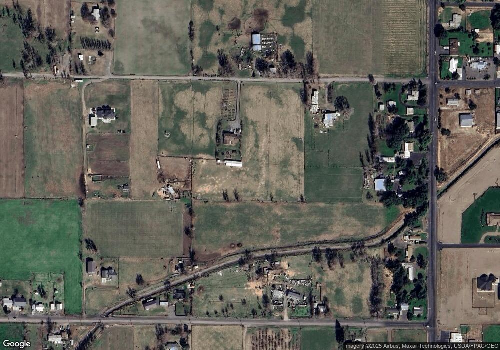
1335 SW Lemmon Ln Hermiston, OR 97838
Estimated Value: $618,000 - $740,000
4
Beds
3
Baths
3,816
Sq Ft
$181/Sq Ft
Est. Value
About This Home
This home is located at 1335 SW Lemmon Ln, Hermiston, OR 97838 and is currently estimated at $688,877, approximately $180 per square foot. 1335 SW Lemmon Ln is a home located in Umatilla County with nearby schools including Desert View Elementary School, Armand Larive Middle School, and Hermiston High School.
Ownership History
Date
Name
Owned For
Owner Type
Purchase Details
Closed on
Jun 12, 2017
Sold by
Lemmon Robert S and Brower Teresa L
Bought by
Martin Charles and Martin Brittany
Current Estimated Value
Home Financials for this Owner
Home Financials are based on the most recent Mortgage that was taken out on this home.
Original Mortgage
$319,200
Outstanding Balance
$265,726
Interest Rate
4.05%
Mortgage Type
New Conventional
Estimated Equity
$423,151
Purchase Details
Closed on
Mar 23, 2016
Sold by
Lemmons Robert S and Brower Teresa L
Bought by
Will Of Marvin Lee Lemmon
Create a Home Valuation Report for This Property
The Home Valuation Report is an in-depth analysis detailing your home's value as well as a comparison with similar homes in the area
Home Values in the Area
Average Home Value in this Area
Purchase History
| Date | Buyer | Sale Price | Title Company |
|---|---|---|---|
| Martin Charles | $399,000 | None Available | |
| Will Of Marvin Lee Lemmon | -- | Pioneer Title Co |
Source: Public Records
Mortgage History
| Date | Status | Borrower | Loan Amount |
|---|---|---|---|
| Open | Martin Charles | $319,200 |
Source: Public Records
Tax History Compared to Growth
Tax History
| Year | Tax Paid | Tax Assessment Tax Assessment Total Assessment is a certain percentage of the fair market value that is determined by local assessors to be the total taxable value of land and additions on the property. | Land | Improvement |
|---|---|---|---|---|
| 2024 | $5,022 | $331,147 | $48,167 | $282,980 |
| 2023 | $5,014 | $321,584 | $46,764 | $274,820 |
| 2022 | $4,700 | $312,226 | $0 | $0 |
| 2021 | $4,735 | $303,133 | $44,083 | $259,050 |
| 2020 | $4,559 | $294,305 | $42,795 | $251,510 |
| 2018 | $4,376 | $277,422 | $40,332 | $237,090 |
| 2017 | $4,292 | $269,347 | $39,157 | $230,190 |
| 2016 | $4,255 | $264,280 | $40,790 | $223,490 |
| 2015 | $4,045 | $241,541 | $37,011 | $204,530 |
| 2014 | $3,794 | $241,541 | $37,011 | $204,530 |
Source: Public Records
Map
Nearby Homes
- 1031 SW Olive Ct
- 1255 SW Sandy Dr
- 1175 SW Sandy Dr
- 915 SW Coyote Dr
- 10 SW Sunrise Ct
- 1382 SW Riverhill Dr
- 1030 SW 11th St Unit 33
- 751 W Joseph Ave
- 717 W Pheasant Ave
- 785 W Johns Ave
- 885 W Duane Ave
- 790 W Division Ave
- 1825 W Highland Ave
- 590 SW Cottonwood Dr
- 833 E Montana Ave
- 833 E Autumn Ave
- 827 E Autumn Ave
- 572 SW Desert Sky Dr Unit 80
- 880 W Quince Ave
- 0 Tl 9007 Sw 3rd Place Unit 8
- 1290 SW Lemmon Ln
- 1225 SW Lemmon Ln
- 1480 SW Lemmon Ln
- 1820 SW 11th St
- 1750 SW 11th St
- 1396 Minnehaha Rd
- 1790 SW 11th St
- 1470 SW Lemmon Ln
- 1710 SW 11th St
- 1254 Minnehaha Rd
- 78714 Rudder Ln
- 1090 W Gettman Rd
- 1715 SW 11th St
- 1177 Minnehaha Rd
- 1166 Minnehaha Rd
- 1675 SW 11th St
- 1130 Minnehaha Rd
- 1623 SW 11th St
- 1570 Minnehaha Rd
- 0 Minnehaha Rd
