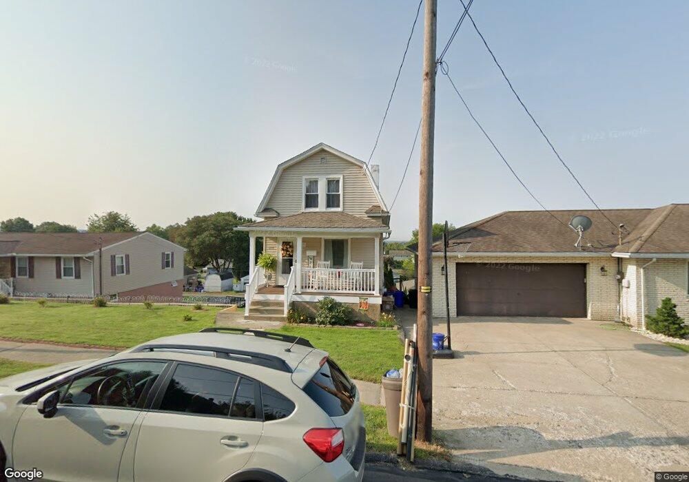
1335 Watson St Scranton, PA 18504
Hyde Park NeighborhoodEstimated Value: $113,793 - $189,000
Studio
--
Bath
--
Sq Ft
10,149
Sq Ft
About This Home
This home is located at 1335 Watson St, Scranton, PA 18504 and is currently estimated at $158,698. 1335 Watson St is a home located in Lackawanna County with nearby schools including Frances Willard School, West Scranton Intrmd School, and West Scranton High School.
Ownership History
Date
Name
Owned For
Owner Type
Purchase Details
Closed on
Apr 21, 2008
Sold by
Carlini Properties Llc
Bought by
Coggins Patrick and Coggins Deborah
Current Estimated Value
Home Financials for this Owner
Home Financials are based on the most recent Mortgage that was taken out on this home.
Original Mortgage
$140,789
Outstanding Balance
$89,602
Interest Rate
6.06%
Mortgage Type
FHA
Estimated Equity
$69,096
Purchase Details
Closed on
Jun 5, 2007
Sold by
Hsbc Bank
Bought by
Carlini Properties Llc
Purchase Details
Closed on
Jan 31, 2007
Sold by
Pudar Jenise
Bought by
Hsbc Bank Usa
Create a Home Valuation Report for This Property
The Home Valuation Report is an in-depth analysis detailing your home's value as well as a comparison with similar homes in the area
Home Values in the Area
Average Home Value in this Area
Purchase History
| Date | Buyer | Sale Price | Title Company |
|---|---|---|---|
| Coggins Patrick | $143,000 | None Available | |
| Carlini Properties Llc | $42,500 | None Available | |
| Hsbc Bank Usa | $4,917 | None Available |
Source: Public Records
Mortgage History
| Date | Status | Borrower | Loan Amount |
|---|---|---|---|
| Open | Coggins Patrick | $140,789 |
Source: Public Records
Tax History
| Year | Tax Paid | Tax Assessment Tax Assessment Total Assessment is a certain percentage of the fair market value that is determined by local assessors to be the total taxable value of land and additions on the property. | Land | Improvement |
|---|---|---|---|---|
| 2025 | $4,681 | $15,000 | $1,653 | $13,347 |
| 2024 | $4,269 | $15,000 | $1,653 | $13,347 |
| 2023 | $4,269 | $15,000 | $1,653 | $13,347 |
| 2022 | $4,174 | $15,000 | $1,653 | $13,347 |
| 2021 | $4,174 | $15,000 | $1,653 | $13,347 |
| 2020 | $4,094 | $15,000 | $1,653 | $13,347 |
| 2019 | $3,848 | $15,000 | $1,653 | $13,347 |
| 2018 | $3,848 | $15,000 | $1,653 | $13,347 |
| 2017 | $3,777 | $15,000 | $1,653 | $13,347 |
| 2016 | $1,059 | $15,000 | $1,653 | $13,347 |
| 2015 | $2,480 | $15,000 | $1,653 | $13,347 |
| 2014 | -- | $15,000 | $1,653 | $13,347 |
Source: Public Records
Map
Nearby Homes
- 1335 Sloan St
- 1301 Sloan St
- 1411 Watson St
- 1417 Cornell St
- 1295 Reynolds Ave
- 1227 Rundle St
- LOT#16 Reynolds Ave
- Lot# 7 Reynolds Ave
- 1125 Watson St
- 816 12th Ave
- 924 S Main Ave
- 1155 W Elm St
- 1150 W Elm St
- 1215 Eynon St
- 1223 Eynon St
- 1120 Acker Ave
- 1250 S 1252 6th
- 920 W 922 W Elm St
- 625 Landis St
- 1009 1011 Acker Ave Unit L 109
- 1325 Watson St
- 1357 Watson St
- 1321 Watson St
- 1336 Rear Rundle St
- 1334 Rundle St
- 1377 Watson St
- 1330 Rundle St
- 1336 Rundle St
- 1336 Rundle St Unit 1338
- 1340 Rundle St
- 1319 Watson St
- 1328 Rundle St
- 1342 Rundle St Unit 1344
- 1326 Watson St
- 1324 Watson St
- 1322 Watson St
- 1374 Watson St
- 1326 Rundle St
- 1317 Watson St
- 1350 Rundle St
Your Personal Tour Guide
Ask me questions while you tour the home.