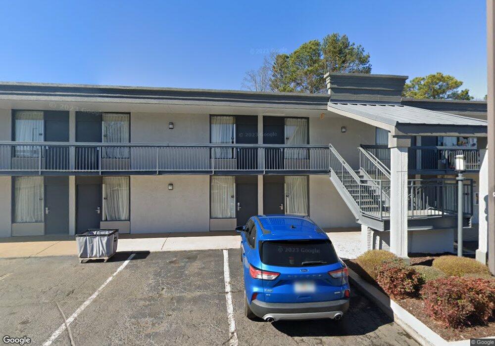
1335 Woodstone Trace Morrow, GA 30260
Estimated Value: $111,000 - $137,442
2
Beds
2
Baths
1,344
Sq Ft
$92/Sq Ft
Est. Value
About This Home
This home is located at 1335 Woodstone Trace, Morrow, GA 30260 and is currently estimated at $124,111, approximately $92 per square foot. 1335 Woodstone Trace is a home located in Clayton County with nearby schools including Morrow Elementary School, Babb Middle School, and Charles R. Drew High School.
Ownership History
Date
Name
Owned For
Owner Type
Purchase Details
Closed on
Dec 14, 2017
Sold by
Smith Preston
Bought by
Grant Kerryann Jones and Grant Jordan
Current Estimated Value
Home Financials for this Owner
Home Financials are based on the most recent Mortgage that was taken out on this home.
Original Mortgage
$27,500
Interest Rate
3.95%
Mortgage Type
Purchase Money Mortgage
Purchase Details
Closed on
Aug 4, 2017
Sold by
Bryan Lee W
Bought by
Smith Preston and Knox Roy E
Create a Home Valuation Report for This Property
The Home Valuation Report is an in-depth analysis detailing your home's value as well as a comparison with similar homes in the area
Home Values in the Area
Average Home Value in this Area
Purchase History
| Date | Buyer | Sale Price | Title Company |
|---|---|---|---|
| Grant Kerryann Jones | $67,500 | -- | |
| Smith Preston | $40,000 | -- |
Source: Public Records
Mortgage History
| Date | Status | Borrower | Loan Amount |
|---|---|---|---|
| Closed | Grant Kerryann Jones | $27,500 |
Source: Public Records
Tax History Compared to Growth
Tax History
| Year | Tax Paid | Tax Assessment Tax Assessment Total Assessment is a certain percentage of the fair market value that is determined by local assessors to be the total taxable value of land and additions on the property. | Land | Improvement |
|---|---|---|---|---|
| 2024 | $1,639 | $38,680 | $3,200 | $35,480 |
| 2023 | $2,465 | $31,960 | $3,200 | $28,760 |
| 2022 | $936 | $21,760 | $3,200 | $18,560 |
| 2021 | $820 | $18,720 | $3,200 | $15,520 |
| 2020 | $613 | $17,478 | $3,200 | $14,278 |
| 2019 | $570 | $16,026 | $3,200 | $12,826 |
| 2018 | $508 | $14,269 | $3,075 | $11,194 |
| 2017 | $397 | $11,116 | $3,200 | $7,916 |
| 2016 | $376 | $10,534 | $3,200 | $7,334 |
| 2015 | $373 | $0 | $0 | $0 |
| 2014 | $386 | $11,087 | $4,000 | $7,087 |
Source: Public Records
Map
Nearby Homes
- 1331 Woodstone Trace
- 1337 Woodstone Trace
- 1329 Woodstone Trace
- 6433 Stone Terrace
- 6433 Stone Way
- 6427 Stone Way Unit O10
- 6437 Stone Way Unit O5
- 1394 Wood Cir S
- 6429 Woodstone Way
- 1217 Dove Ct
- 6296 Flamingo Way
- 6446 Oakleaf Way
- 6430 Oakleaf Way
- 6411 Northridge Dr Unit 6411
- 6155 Navaho Trail
- 6461 Northridge Way
- 1327 Woodstone Trace Unit L6
- 1337 Woodstone Trc
- 1333 Woodstone Trace
- 1327 Woodstone Trace
- 1325 Woodstone Trace Unit 7
- 1337 Woodstone Trace
- 6435 Stone Terrace Unit K1
- 6431 Stone Terrace
- 6427 Stone Terrace Unit K5
- 6429 Stone Terrace Unit K4
- 6441 Stone Terrace Unit M6
- 6443 Stone Terrace Unit M5
- 6445 Stone Terrace
- 6447 Stone Terrace
- 6449 Stone Terrace Unit M2
- 6451 Stone Terrace Unit M1
- 6426 Stone Terrace Unit J5
- 6434 Stone Terrace Unit J9
- 6436 Stone Terrace Unit J10
- 1331 John Robert Dr