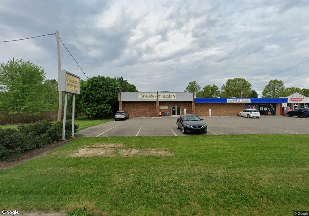
13353 Cleveland Ave NW Uniontown, OH 44685
--
Bed
6
Baths
1,788
Sq Ft
0.94
Acres
About This Home
This home is located at 13353 Cleveland Ave NW, Uniontown, OH 44685. 13353 Cleveland Ave NW is a home located in Stark County with nearby schools including Lake Middle/High School, Lake Center Christian School, and Mayfair Christian School.
Ownership History
Date
Name
Owned For
Owner Type
Purchase Details
Closed on
Jun 29, 2006
Sold by
Bri Tra Ltd
Bought by
Caplea Joseph S and Caplea Ann M
Home Financials for this Owner
Home Financials are based on the most recent Mortgage that was taken out on this home.
Original Mortgage
$540,000
Outstanding Balance
$321,999
Interest Rate
6.73%
Mortgage Type
Commercial
Purchase Details
Closed on
Dec 13, 2005
Sold by
Brit Ltd
Bought by
Bri Tra Ltd
Create a Home Valuation Report for This Property
The Home Valuation Report is an in-depth analysis detailing your home's value as well as a comparison with similar homes in the area
Home Values in the Area
Average Home Value in this Area
Purchase History
| Date | Buyer | Sale Price | Title Company |
|---|---|---|---|
| Caplea Joseph S | $703,500 | None Available | |
| Bri Tra Ltd | $750,000 | -- |
Source: Public Records
Mortgage History
| Date | Status | Borrower | Loan Amount |
|---|---|---|---|
| Open | Caplea Joseph S | $540,000 |
Source: Public Records
Tax History Compared to Growth
Tax History
| Year | Tax Paid | Tax Assessment Tax Assessment Total Assessment is a certain percentage of the fair market value that is determined by local assessors to be the total taxable value of land and additions on the property. | Land | Improvement |
|---|---|---|---|---|
| 2025 | -- | $138,260 | $22,510 | $115,750 |
| 2024 | -- | $138,260 | $22,510 | $115,750 |
| 2023 | $8,180 | $115,220 | $18,760 | $96,460 |
| 2022 | $7,978 | $115,220 | $18,760 | $96,460 |
| 2021 | $8,041 | $115,220 | $18,760 | $96,460 |
| 2020 | $7,684 | $104,730 | $17,050 | $87,680 |
| 2019 | $19 | $104,740 | $17,050 | $87,690 |
| 2018 | $7,676 | $104,740 | $17,050 | $87,690 |
| 2017 | $7,366 | $94,520 | $13,650 | $80,870 |
| 2016 | $7,315 | $94,520 | $13,650 | $80,870 |
| 2015 | $7,196 | $94,520 | $13,650 | $80,870 |
| 2014 | $577 | $88,360 | $12,740 | $75,620 |
| 2013 | $3,275 | $88,360 | $12,740 | $75,620 |
Source: Public Records
Map
Nearby Homes
- 3796 Sweitzer St NW
- 0 Pine St NW
- 3310 Linden St NW
- 13792 Amodio Ave NW
- 13025 Sunset Cir NW
- 13704 Greenland Ave NW
- 3979 Northdale St NW
- 3100 Linden St NW
- 2771 Superior Dr
- 2944 Pontius St NW
- 835 Brodie Ct
- 843 Brodie Ct
- 13341 Sugar Bush Ave NW
- 2944 Sunset Dr
- 2498 Foxfire St NW
- 12494 Bridgemont Ave NW
- 91 Pontius Rd
- 2693 Ledgestone Dr NW
- 3221 Killian Rd
- 2424 Lyndon Dr
- 13415 Cleveland Ave NW
- 3580 Broad Vista St NW
- 3580 Broad Vista St NW Unit 2
- 3580 Broad Vista St NW
- 3575 Broad Vista St NW
- 3555 N Vista St NW
- 13330 Cleveland Ave NW
- 13394 Cleveland Ave NW
- 13312 Cleveland Ave NW
- 3595 Broad Vista St NW
- 3577 N Vista St NW
- 13414 Cleveland Ave NW
- 3596 N Vista St NW
- 3457 Marquette St NW
- 13288 Cleveland Ave NW
- 3443 Marquette St NW
- 3353 Broad Vista St NW
- 3355 Broad Vista St NW
- 13440 Cleveland Ave NW
- 3597 N Vista St NW