Estimated Value: $317,000 - $404,000
--
Bed
1
Bath
3,512
Sq Ft
$99/Sq Ft
Est. Value
About This Home
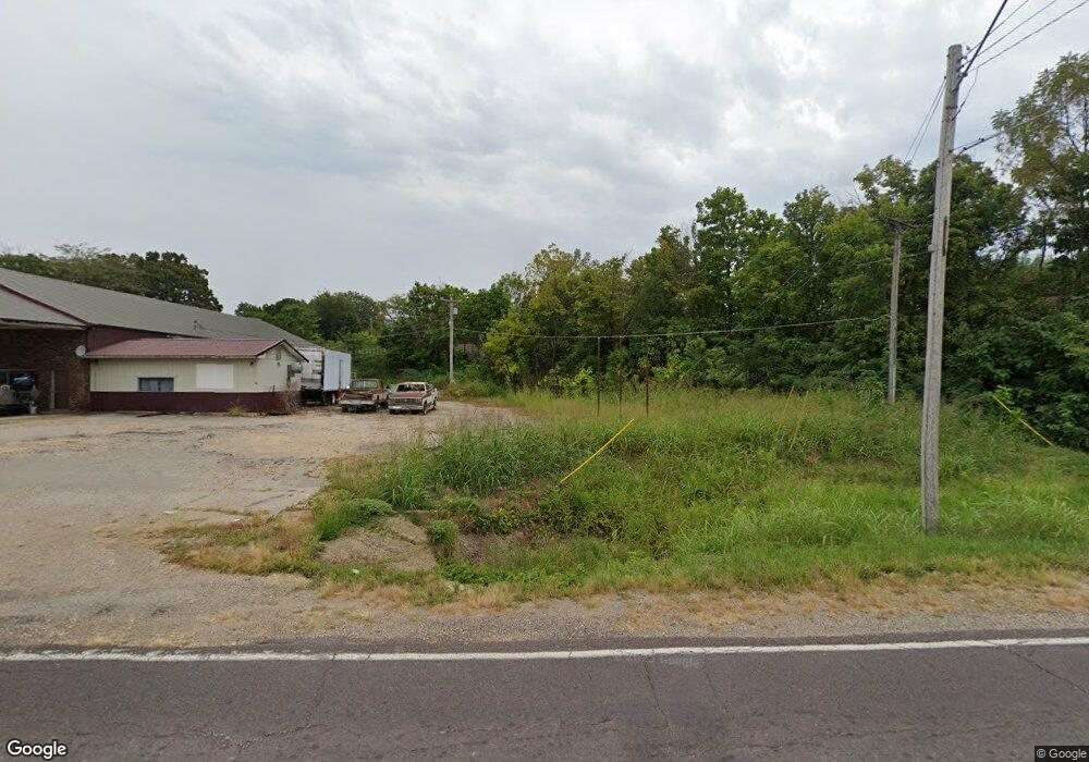
This home is located at 13355 Highway Pp, Dixon, MO 65459 and is currently estimated at $347,159, approximately $98 per square foot. 13355 Highway Pp is a home with nearby schools including Dixon Elementary School, Dixon Middle School, and Dixon High School.
Ownership History
Date
Name
Owned For
Owner Type
Purchase Details
Closed on
Jun 18, 2019
Sold by
Williford Robert E and Williford Dianne L
Bought by
Hosea James E and Hosea Deborah L
Current Estimated Value
Home Financials for this Owner
Home Financials are based on the most recent Mortgage that was taken out on this home.
Original Mortgage
$255,667
Outstanding Balance
$223,399
Interest Rate
3.9%
Mortgage Type
VA
Estimated Equity
$123,760
Purchase Details
Closed on
Dec 31, 2004
Sold by
Baker Don W and Baker Judy E
Bought by
Easterling David T and Easterling Diane M
Create a Home Valuation Report for This Property
The Home Valuation Report is an in-depth analysis detailing your home's value as well as a comparison with similar homes in the area
Home Values in the Area
Average Home Value in this Area
Purchase History
| Date | Buyer | Sale Price | Title Company |
|---|---|---|---|
| Hosea James E | -- | -- | |
| Easterling David T | -- | None Available |
Source: Public Records
Mortgage History
| Date | Status | Borrower | Loan Amount |
|---|---|---|---|
| Open | Hosea James E | $255,667 |
Source: Public Records
Tax History Compared to Growth
Tax History
| Year | Tax Paid | Tax Assessment Tax Assessment Total Assessment is a certain percentage of the fair market value that is determined by local assessors to be the total taxable value of land and additions on the property. | Land | Improvement |
|---|---|---|---|---|
| 2024 | $1,473 | $35,781 | $4,180 | $31,601 |
| 2023 | $1,466 | $35,781 | $4,180 | $31,601 |
| 2022 | $1,465 | $35,781 | $4,180 | $31,601 |
| 2021 | $1,465 | $35,781 | $4,180 | $31,601 |
| 2020 | $1,411 | $35,832 | $0 | $0 |
| 2019 | $1,410 | $34,276 | $0 | $0 |
| 2018 | $1,409 | $34,276 | $0 | $0 |
| 2017 | $1,408 | $35,832 | $0 | $0 |
| 2016 | $1,408 | $34,280 | $0 | $0 |
| 2015 | -- | $34,280 | $0 | $0 |
| 2014 | $1,402 | $34,280 | $0 | $0 |
Source: Public Records
Map
Nearby Homes
- 17485 Cashew Ln
- 13875 Highway Pp
- 12726 Highway Pp
- 12705 Highway Pp
- 18447 Charity Dr
- 11525 Highway Pp
- 0 Cardinal Rd Unit MIS25035680
- Tract D Holiday Ln
- Tract C Holiday Ln
- 15216 Columbia Rd
- 13222 Hillview Ln
- 20605 Highway 28
- 20585 Highway 28
- 0 Hank Ln
- 14574 Colorado Rd
- 14505 Harvey Dr
- 14390 Harvey Dr
- 14060 Country Ln
- Creek Rd Tract 2
- 14190 Country Ln
- 13090 Corvair Dr
- 13100 Corvair Dr
- 13105 Highway Pp
- 13105 Highway Pp
- 13080 Corvair Dr
- 17710 Cissy Dr
- 13080 Highway Pp
- 17702 Cissy Dr
- 13070 Corvair Dr
- 17701 Cissy Dr
- 13000 Highway Pp
- 13060 Corvair Dr
- 13475 Highway Pp
- 13475 Pp Hwy
- 13475 Highway Pp
- 13475 Highway Pp
- 13065 Corvair Dr
- 13450 Highway Pp
- 13450 Highway Pp
- 13603 Highway Z