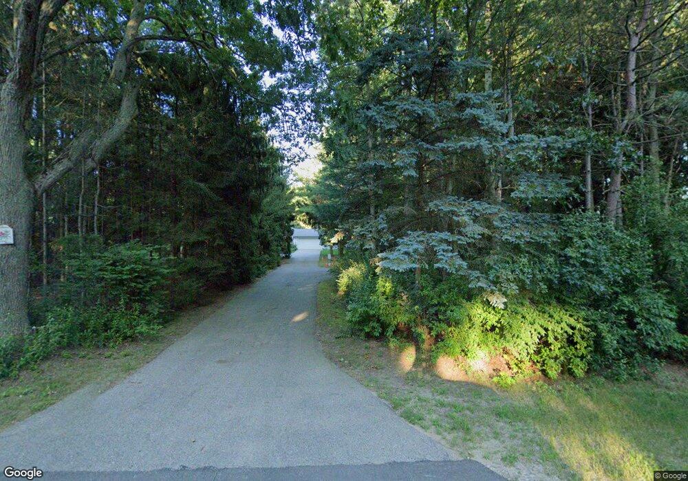
13358 152nd Ave Grand Haven, MI 49417
Estimated Value: $446,000 - $514,000
4
Beds
3
Baths
1,892
Sq Ft
$254/Sq Ft
Est. Value
About This Home
This home is located at 13358 152nd Ave, Grand Haven, MI 49417 and is currently estimated at $481,147, approximately $254 per square foot. 13358 152nd Ave is a home located in Ottawa County with nearby schools including Peach Plains School, Central High School, and White Pines Intermediate School.
Ownership History
Date
Name
Owned For
Owner Type
Purchase Details
Closed on
Mar 8, 2018
Sold by
Brown David D and Brown Linda M
Bought by
Brown David D and Brown Linda M
Current Estimated Value
Purchase Details
Closed on
Aug 11, 2017
Sold by
Cook Michael S and Cook Babette L
Bought by
Brown David D and Brown Linda M
Home Financials for this Owner
Home Financials are based on the most recent Mortgage that was taken out on this home.
Original Mortgage
$193,500
Outstanding Balance
$161,461
Interest Rate
3.96%
Mortgage Type
New Conventional
Estimated Equity
$319,686
Create a Home Valuation Report for This Property
The Home Valuation Report is an in-depth analysis detailing your home's value as well as a comparison with similar homes in the area
Home Values in the Area
Average Home Value in this Area
Purchase History
| Date | Buyer | Sale Price | Title Company |
|---|---|---|---|
| Brown David D | -- | None Available | |
| Brown David D | $215,000 | Chicago Title |
Source: Public Records
Mortgage History
| Date | Status | Borrower | Loan Amount |
|---|---|---|---|
| Open | Brown David D | $193,500 |
Source: Public Records
Tax History Compared to Growth
Tax History
| Year | Tax Paid | Tax Assessment Tax Assessment Total Assessment is a certain percentage of the fair market value that is determined by local assessors to be the total taxable value of land and additions on the property. | Land | Improvement |
|---|---|---|---|---|
| 2025 | $3,018 | $223,300 | $0 | $0 |
| 2024 | $1,946 | $205,100 | $0 | $0 |
| 2023 | $2,083 | $171,000 | $0 | $0 |
| 2022 | $3,081 | $143,000 | $0 | $0 |
| 2021 | $2,990 | $130,200 | $0 | $0 |
| 2020 | $2,916 | $120,200 | $0 | $0 |
| 2019 | $2,870 | $114,200 | $0 | $0 |
| 2018 | $2,658 | $97,400 | $17,500 | $79,900 |
| 2017 | $2,270 | $95,600 | $0 | $0 |
| 2016 | $2,274 | $91,700 | $0 | $0 |
| 2015 | -- | $89,800 | $0 | $0 |
| 2014 | -- | $85,700 | $0 | $0 |
Source: Public Records
Map
Nearby Homes
- 0 Steve's Dr
- 13407 152nd Ave
- 14956 Briarwood St
- 13548 Greenbriar Dr
- 12974 Boulderway Trail
- 13001 Woodrush Dr
- 12959 Wildview Dr
- 15353 Lincoln St
- 13816 Flora Ln
- 15332 Saddlebrook Ct Unit 4
- 14676 Windway Dr
- 14487 Magnolia Dr
- 13892 148th Ave
- 12611 Broadmoor Place
- 15416 Winchester Cir Unit 93
- 14700 Mercury Dr
- 13345 Pinewood Dr
- 15549 Winchester Cir Unit 68
- 14092 152nd Ave
- 13548 Pinewood Dr
- 15175 Briarwood Dr
- 15183 Briarwood Dr
- 15167 Briarwood Dr
- 15167 Briarwood St
- 15183 Briarwood St
- 15159 Briarwood Dr
- 15159 Briarwood St
- 15191 Briarwood St
- 15141 Briarwood Dr
- 13376 152nd Ave
- 15156 Steves Dr
- 15191 Briarwood Dr
- 15141 Briarwood St
- 15133 Briarwood Dr
- 13272 152nd Ave
- 15133 Briarwood St
- 15134 Steves Dr
- 15190 Briarwood St
- 15190 Briarwood Dr
- 15174 Briarwood Dr
