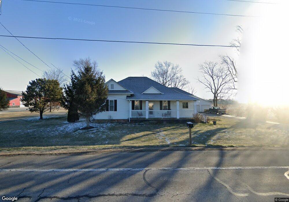
13358 State Route 31 Kenton, OH 43326
Estimated Value: $223,089 - $255,000
3
Beds
2
Baths
1,896
Sq Ft
$129/Sq Ft
Est. Value
About This Home
This home is located at 13358 State Route 31, Kenton, OH 43326 and is currently estimated at $243,772, approximately $128 per square foot. 13358 State Route 31 is a home located in Hardin County with nearby schools including Kenton Elementary School, Kenton Middle School, and Kenton High School.
Ownership History
Date
Name
Owned For
Owner Type
Purchase Details
Closed on
Sep 23, 2005
Sold by
Dyer Elsie M
Bought by
Fox Charles M and Fox Kathy R
Current Estimated Value
Home Financials for this Owner
Home Financials are based on the most recent Mortgage that was taken out on this home.
Original Mortgage
$78,000
Outstanding Balance
$41,940
Interest Rate
5.93%
Mortgage Type
Unknown
Estimated Equity
$201,832
Purchase Details
Closed on
Mar 25, 2003
Bought by
Dyer Elsie M
Purchase Details
Closed on
Jun 5, 1998
Bought by
Dyer Merlyn R and Dyer Elsie M
Purchase Details
Closed on
Jan 29, 1998
Bought by
Richards Evadella
Create a Home Valuation Report for This Property
The Home Valuation Report is an in-depth analysis detailing your home's value as well as a comparison with similar homes in the area
Purchase History
| Date | Buyer | Sale Price | Title Company |
|---|---|---|---|
| Fox Charles M | $79,000 | None Available | |
| Dyer Elsie M | -- | -- | |
| Dyer Merlyn R | $56,000 | -- | |
| Richards Evadella | -- | -- |
Source: Public Records
Mortgage History
| Date | Status | Borrower | Loan Amount |
|---|---|---|---|
| Open | Fox Charles M | $78,000 |
Source: Public Records
Tax History
| Year | Tax Paid | Tax Assessment Tax Assessment Total Assessment is a certain percentage of the fair market value that is determined by local assessors to be the total taxable value of land and additions on the property. | Land | Improvement |
|---|---|---|---|---|
| 2024 | $1,981 | $57,070 | $4,990 | $52,080 |
| 2023 | $2,009 | $57,070 | $4,990 | $52,080 |
| 2022 | $1,618 | $44,180 | $4,190 | $39,990 |
| 2021 | $1,624 | $44,180 | $4,190 | $39,990 |
| 2020 | $1,405 | $44,180 | $4,190 | $39,990 |
| 2019 | $1,062 | $36,530 | $3,990 | $32,540 |
| 2018 | $1,063 | $36,530 | $3,990 | $32,540 |
| 2017 | $1,043 | $36,530 | $3,990 | $32,540 |
| 2016 | $844 | $32,270 | $3,490 | $28,780 |
| 2015 | $908 | $26,220 | $3,490 | $22,730 |
| 2014 | $627 | $26,220 | $3,490 | $22,730 |
| 2013 | $602 | $24,740 | $3,490 | $21,250 |
Source: Public Records
Map
Nearby Homes
- 13450 State Route 292
- 501 East St
- 703 S Detroit St
- 639 S Main St
- 920 Cooper St
- 510 Decatur St
- 508 Decatur St
- 820 King St
- 354 S Barron St
- 226 S Wayne St
- 121 S High St
- 39 Grape St
- 79 Broadway St
- 89 Broadway St
- 420 E Carrol St
- 11896 Parklane Dr
- 405 E Carroll St
- 405 E Carrol St Unit 405 1/2
- 11925 County Road 175
- 619 E North St
- 13361 State Route 31
- 13361 St Route
- 13453 Sr
- 13453 State Route 31
- 1480 S Main St
- 13222 State Route 31
- 13482 State Route 31
- 13515 Ohio 31
- 13515 State Route 31
- 1420 S Main St
- 13265 State Route 292
- 13543 Ohio 31
- 13543 State Route 31
- 13479 State Route 292
- 13026 State Route 31
- 13006 State Route 31
- 14734 County Road 140
- 13720 State Route 292
- 13725 State Route 292
Your Personal Tour Guide
Ask me questions while you tour the home.