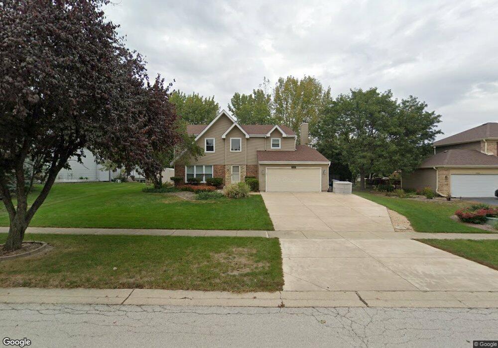
1336 Johnstone Dr Unit 2 Batavia, IL 60510
Southeast Batavia NeighborhoodEstimated Value: $431,046 - $491,000
4
Beds
--
Bath
2,065
Sq Ft
$221/Sq Ft
Est. Value
About This Home
This home is located at 1336 Johnstone Dr Unit 2, Batavia, IL 60510 and is currently estimated at $456,512, approximately $221 per square foot. 1336 Johnstone Dr Unit 2 is a home located in Kane County with nearby schools including Hoover Wood Elementary School, Sam Rotolo Middle School, and Batavia Sr High School.
Ownership History
Date
Name
Owned For
Owner Type
Purchase Details
Closed on
Jun 25, 1998
Sold by
Payne Christopher C and Dufore Suzanne M
Bought by
Benton Craig W and Benton Cynthia
Current Estimated Value
Home Financials for this Owner
Home Financials are based on the most recent Mortgage that was taken out on this home.
Original Mortgage
$152,000
Outstanding Balance
$31,838
Interest Rate
7.27%
Estimated Equity
$424,674
Create a Home Valuation Report for This Property
The Home Valuation Report is an in-depth analysis detailing your home's value as well as a comparison with similar homes in the area
Home Values in the Area
Average Home Value in this Area
Purchase History
| Date | Buyer | Sale Price | Title Company |
|---|---|---|---|
| Benton Craig W | $190,000 | Ticor Title Insurance |
Source: Public Records
Mortgage History
| Date | Status | Borrower | Loan Amount |
|---|---|---|---|
| Open | Benton Craig W | $152,000 |
Source: Public Records
Tax History
| Year | Tax Paid | Tax Assessment Tax Assessment Total Assessment is a certain percentage of the fair market value that is determined by local assessors to be the total taxable value of land and additions on the property. | Land | Improvement |
|---|---|---|---|---|
| 2024 | $9,133 | $123,509 | $21,022 | $102,487 |
| 2023 | $8,933 | $112,098 | $19,080 | $93,018 |
| 2022 | $8,624 | $104,765 | $17,832 | $86,933 |
| 2021 | $8,276 | $99,360 | $16,912 | $82,448 |
| 2020 | $8,071 | $97,450 | $16,587 | $80,863 |
| 2019 | $7,936 | $94,000 | $16,000 | $78,000 |
| 2018 | $8,093 | $95,701 | $16,347 | $79,354 |
| 2017 | $7,896 | $92,545 | $15,808 | $76,737 |
| 2016 | $7,726 | $89,850 | $15,348 | $74,502 |
| 2015 | -- | $87,805 | $14,999 | $72,806 |
| 2014 | -- | $85,041 | $14,527 | $70,514 |
| 2013 | -- | $83,382 | $14,244 | $69,138 |
Source: Public Records
Map
Nearby Homes
- 1402 Cherry Dr
- 1206 Beckman Ln
- 1136 Pine Ct
- 2049 Stuttle Rd
- 527 Ridgelawn Trail
- 733 Wind Energy Pass
- 694 Hart Rd
- Lot 4 Manchester Ave
- 1627 Sauk Dr
- 1318 Fairfield Way Unit 2
- 860 S River St
- 133 Mayflower Dr
- 3020 Abbey Cir
- 3075 Mesa Ln
- Marianne Plan at Abbey Meadows - Traditional Townhomes
- Amherst Plan at Abbey Meadows - Urban Townhomes
- Charlotte Plan at Abbey Meadows - Traditional Townhomes
- 3018 Abbey Cir
- Chelsea Plan at Abbey Meadows - Urban Townhomes
- 3026 Abbey Cir
- 1332 Johnstone Dr Unit 2
- 1340 Johnstone Dr
- 1319 Kline Ct
- 1318 Johnstone Dr
- 1344 Johnstone Dr
- 1400 Becker Ave
- 1317 Kline Ct
- 1314 Johnstone Dr
- 1349 Johnstone Dr
- 1323 Kline Ct
- 1331 Johnstone Dr Unit 2
- 1310 Johnstone Dr
- 1353 Johnstone Dr
- 1404 Becker Ave
- 1333 Cherry Dr
- 1327 Hall Ct
- 1315 Kline Ct
- 1329 Cherry Dr
- 1306 Johnstone Dr
- 1413 Becker Ave
Your Personal Tour Guide
Ask me questions while you tour the home.