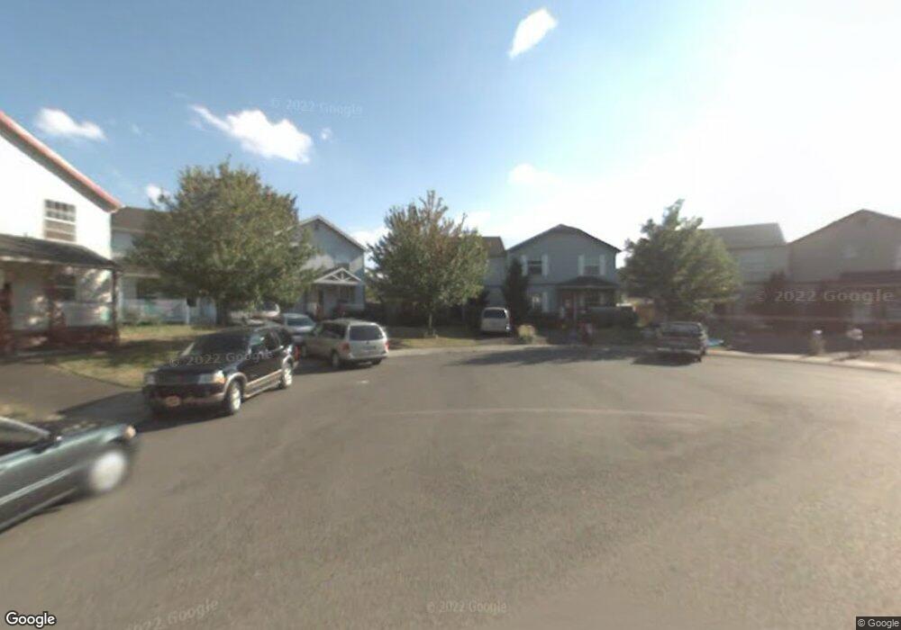
1336 NE Bryant Ct Portland, OR 97211
Woodlawn NeighborhoodEstimated Value: $356,915 - $537,000
3
Beds
2
Baths
1,352
Sq Ft
$311/Sq Ft
Est. Value
About This Home
This home is located at 1336 NE Bryant Ct, Portland, OR 97211 and is currently estimated at $419,979, approximately $310 per square foot. 1336 NE Bryant Ct is a home located in Multnomah County with nearby schools including Woodlawn Elementary School, Ockley Green, and Jefferson High School.
Ownership History
Date
Name
Owned For
Owner Type
Purchase Details
Closed on
Jan 9, 1997
Sold by
Host Development Inc
Bought by
England Charletta G
Current Estimated Value
Home Financials for this Owner
Home Financials are based on the most recent Mortgage that was taken out on this home.
Original Mortgage
$82,765
Outstanding Balance
$8,809
Interest Rate
7.53%
Mortgage Type
FHA
Estimated Equity
$411,170
Create a Home Valuation Report for This Property
The Home Valuation Report is an in-depth analysis detailing your home's value as well as a comparison with similar homes in the area
Home Values in the Area
Average Home Value in this Area
Purchase History
| Date | Buyer | Sale Price | Title Company |
|---|---|---|---|
| England Charletta G | $89,950 | Oregon Title Insurance Co |
Source: Public Records
Mortgage History
| Date | Status | Borrower | Loan Amount |
|---|---|---|---|
| Open | England Charletta G | $82,765 | |
| Closed | England Charletta G | $4,569 |
Source: Public Records
Tax History Compared to Growth
Tax History
| Year | Tax Paid | Tax Assessment Tax Assessment Total Assessment is a certain percentage of the fair market value that is determined by local assessors to be the total taxable value of land and additions on the property. | Land | Improvement |
|---|---|---|---|---|
| 2024 | $3,696 | $138,150 | -- | -- |
| 2023 | $3,554 | $134,130 | $0 | $0 |
| 2022 | $3,477 | $130,230 | $0 | $0 |
| 2021 | $3,419 | $126,440 | $0 | $0 |
| 2020 | $3,136 | $122,760 | $0 | $0 |
| 2019 | $3,021 | $119,190 | $0 | $0 |
| 2018 | $2,932 | $115,720 | $0 | $0 |
| 2017 | $2,810 | $112,350 | $0 | $0 |
| 2016 | $2,572 | $109,080 | $0 | $0 |
| 2015 | $2,504 | $105,910 | $0 | $0 |
| 2014 | $2,467 | $102,830 | $0 | $0 |
Source: Public Records
Map
Nearby Homes
- 1340 NE Bryant Ct
- 6888 NE 13th Ave
- 1532 NE Morgan St
- 1435 NE Buffalo St
- 1724 NE Morgan St
- 1210 NE Lenore St
- 1432 NE Rosa Parks Way
- 1025 NE Dean St
- 7235 NE 9th Ave
- 7048 NE 7th Place
- 6404 NE 10th Ave
- 2115 NE Junior St
- 6812 NE 6th Ave
- 6810 NE 6th Ave
- 6808 NE 6th Ave
- 6227 NE 10th Ave
- 6200 NE 19th Ave
- 7036 NE Martin Luther King Junior Blvd
- 6035 NE 9th Ave
- 7044 NE Martin Luther King Junior Blvd
- 1332 NE Bryant Ct
- 1402 NE Bryant Ct
- 1328 NE Bryant Ct
- 6938 NE 13th Ave
- 6940 NE 13th Ave Unit 12C
- 1324 NE Bryant Ct
- 1417 NE Saratoga St
- 6942 NE 13th Ave Unit 12B
- 6936 NE 13th Ave Unit 10D
- 1413 NE Saratoga St
- 6934 NE 13th Ave
- 1415 NE Saratoga St Unit 11D
- 1410 NE Bryant Ct
- 1419 NE Saratoga St Unit 20B
- 6929 NE 15th Ave Unit 18A
- 6944 NE 13th Ave
- 1411 NE Saratoga St
- 6923 NE 15th Ave
- 6931 NE 15th Ave Unit 18B
- 1421 NE Saratoga St Unit 20C