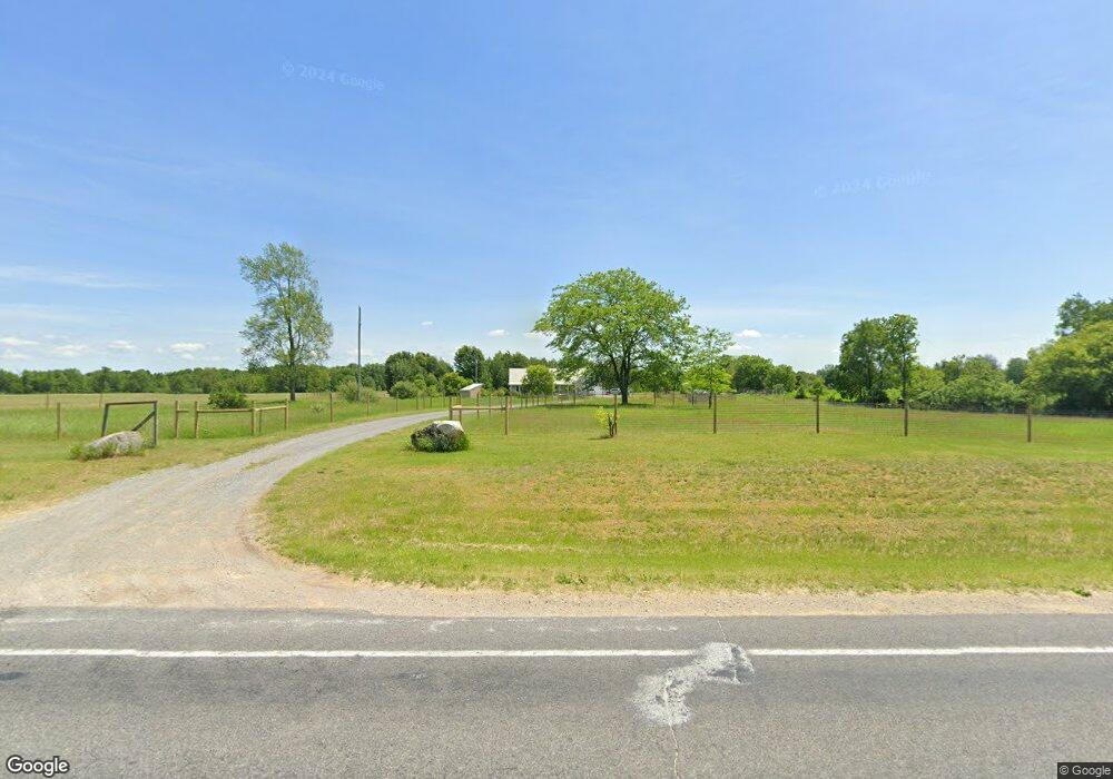
1336 S Stone Rd Fremont, MI 49412
Estimated Value: $321,000 - $394,663
3
Beds
2
Baths
1,644
Sq Ft
$211/Sq Ft
Est. Value
About This Home
This home is located at 1336 S Stone Rd, Fremont, MI 49412 and is currently estimated at $346,554, approximately $210 per square foot. 1336 S Stone Rd is a home located in Newaygo County with nearby schools including Pathfinder Elementary School, Daisy Brook Elementary School, and Fremont Middle School.
Ownership History
Date
Name
Owned For
Owner Type
Purchase Details
Closed on
Jun 23, 2011
Sold by
Fannie Mae
Bought by
Patten Justin and Patten Merideth
Current Estimated Value
Purchase Details
Closed on
Feb 22, 2010
Sold by
Everhome Mortgage Co
Bought by
Federal National Mortgage Association
Purchase Details
Closed on
Feb 16, 2010
Sold by
Brenner Raymond
Bought by
Everhome Mortgage Co
Purchase Details
Closed on
Jul 31, 2003
Sold by
Kasper Robert
Bought by
Imkamp Eric Jon
Purchase Details
Closed on
Aug 10, 2000
Sold by
Cassini Bill M
Bought by
Kasper Robert
Create a Home Valuation Report for This Property
The Home Valuation Report is an in-depth analysis detailing your home's value as well as a comparison with similar homes in the area
Home Values in the Area
Average Home Value in this Area
Purchase History
| Date | Buyer | Sale Price | Title Company |
|---|---|---|---|
| Patten Justin | $10,000 | -- | |
| Federal National Mortgage Association | -- | -- | |
| Everhome Mortgage Co | $166,606 | -- | |
| Imkamp Eric Jon | $164,000 | -- | |
| Kasper Robert | $146,500 | -- |
Source: Public Records
Tax History Compared to Growth
Tax History
| Year | Tax Paid | Tax Assessment Tax Assessment Total Assessment is a certain percentage of the fair market value that is determined by local assessors to be the total taxable value of land and additions on the property. | Land | Improvement |
|---|---|---|---|---|
| 2025 | $3,166 | $183,100 | $0 | $0 |
| 2024 | $10 | $157,700 | $0 | $0 |
| 2023 | $1,001 | $141,500 | $0 | $0 |
| 2022 | $2,909 | $124,800 | $0 | $0 |
| 2021 | $2,855 | $104,400 | $0 | $0 |
| 2020 | $1,964 | $75,800 | $0 | $0 |
| 2019 | $1,873 | $74,600 | $0 | $0 |
| 2018 | $1,828 | $72,900 | $0 | $0 |
| 2017 | $1,826 | $71,400 | $0 | $0 |
| 2016 | $1,649 | $70,600 | $0 | $0 |
| 2015 | -- | $63,700 | $0 | $0 |
| 2014 | -- | $62,400 | $0 | $0 |
Source: Public Records
Map
Nearby Homes
- 3710 Ramshorn Dr
- 930 N Meadowbrook
- 8828 Elm St
- 3283 W Ridge St
- 3268 W Ridge St
- 415 Vista Ln
- 4154 Sunset Dr
- 734 N Stewart Ave
- Lot 37 Birch Dr
- 4483 Meadowbrook Ln
- 1120 N Meadowbrook
- 1310 Windridge Ln
- 8615 W 1 Mile Rd
- 1385 N Apple Dr
- 233 Westwood Ave
- 883 Rex St
- 3484 W Loon Trail
- Integrity 2190 Plan at Hillcrest
- Integrity 2085 Plan at Hillcrest
- Integrity 2080 Plan at Hillcrest
- 1329 S Stone Rd
- 1490 S Stone Rd
- 1454 S Stone Rd
- 1160 S Stone Rd
- 1120 S Stone Rd
- 0 W 16th St Unit M16012252
- Parcel A W 16th St
- 0 W 16th St Unit APP 3
- 6302 W 16th St
- 6184 W 16th St
- 1612 S Stone Rd
- 1018 S Stone Rd
- 8591 W 16th St
- 1725 S Stone Rd
- 6135 W 16th St
- 6790 W 16th St
- 6182 W 8th St
- 1920 S Stone Rd
- 5943 W 16th St
- 4150 W 8th St