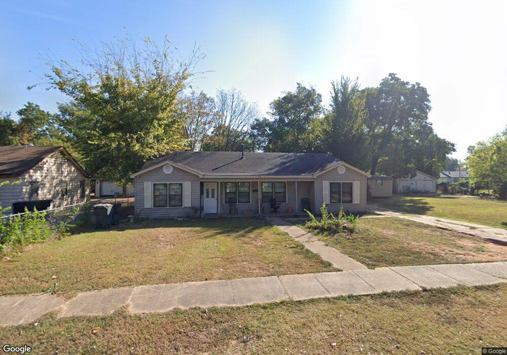
1336 Shamrock St Bossier City, LA 71112
Barksdale North NeighborhoodEstimated Value: $101,000 - $159,000
4
Beds
2
Baths
1,536
Sq Ft
$80/Sq Ft
Est. Value
About This Home
This home is located at 1336 Shamrock St, Bossier City, LA 71112 and is currently estimated at $122,169, approximately $79 per square foot. 1336 Shamrock St is a home located in Bossier Parish with nearby schools including Waller Elementary School, Rusheon Middle School, and Bossier High School.
Ownership History
Date
Name
Owned For
Owner Type
Purchase Details
Closed on
Jul 29, 2014
Sold by
Combs Carl E
Bought by
Richard Ellis B and Richard Kimberly Harris
Current Estimated Value
Purchase Details
Closed on
Jun 23, 2014
Sold by
Combs David and Combs Kevin
Bought by
Richard Ellis B and Richard Kimberly Harris
Purchase Details
Closed on
May 30, 2014
Sold by
Hale Sharon L Combs
Bought by
Richard Ellis B and Richard Kimberly Harris
Purchase Details
Closed on
May 20, 2014
Sold by
Combs Billie J
Bought by
Richard Ellis B and Richard Kimberly Harris
Create a Home Valuation Report for This Property
The Home Valuation Report is an in-depth analysis detailing your home's value as well as a comparison with similar homes in the area
Home Values in the Area
Average Home Value in this Area
Purchase History
| Date | Buyer | Sale Price | Title Company |
|---|---|---|---|
| Richard Ellis B | $1,562 | Multiple | |
| Richard Ellis B | $4,687 | Multiple | |
| Richard Ellis B | $1,562 | Main Street Title Llc | |
| Richard Ellis B | $12,500 | Main Street Title Llc | |
| Richard Ellis B | $1,562 | Main Street Title Llc |
Source: Public Records
Tax History Compared to Growth
Tax History
| Year | Tax Paid | Tax Assessment Tax Assessment Total Assessment is a certain percentage of the fair market value that is determined by local assessors to be the total taxable value of land and additions on the property. | Land | Improvement |
|---|---|---|---|---|
| 2024 | $976 | $8,040 | $1,550 | $6,490 |
| 2023 | $907 | $6,957 | $1,550 | $5,407 |
| 2022 | $746 | $6,957 | $1,550 | $5,407 |
| 2021 | $157 | $6,957 | $1,550 | $5,407 |
| 2020 | $745 | $6,957 | $1,550 | $5,407 |
| 2019 | $757 | $6,960 | $1,550 | $5,410 |
| 2018 | $757 | $6,960 | $1,550 | $5,410 |
| 2017 | $905 | $6,960 | $1,550 | $5,410 |
| 2016 | $905 | $6,960 | $1,550 | $5,410 |
| 2015 | $147 | $6,450 | $1,550 | $4,900 |
| 2014 | $147 | $6,450 | $1,550 | $4,900 |
Source: Public Records
Map
Nearby Homes
- 1333 Michael St
- 1333 Mark Ave
- 1245 Dudley Ln
- 3001 Jamie Place
- 3235 Sarah St
- 3217 Thunderbird Ln
- 3224 Galaxy Dr
- 3105 Donald Dr
- 1509 Anita St
- 1620 Anita St
- 1617 Margaret St
- 2383 Julia St
- 1219 Fullilove Dr
- 1609 Northgate Rd
- 2545 Lamar St
- 2454 Barbara St
- 2464 Barbara St
- 3305 Jefferson Place
- 2712 Foster St
- 2540 Hoyer St
- 1342 Shamrock St
- 1332 Shamrock St
- 1346 Shamrock St
- 1328 Shamrock St
- 1329 Michael St
- 1331 Michael St
- 1327 Michael St
- 1325 Shamrock St
- 1325 Michael St
- 1335 Michael St
- 1348 Shamrock St
- 1333 Shamrock St
- 1326 Shamrock St
- 1323 Michael St
- 1337 Michael St
- 1328 Patricia Dr
- 1321 Shamrock St
- 1321 Shamrock St Unit A/B
- 1321 Michael St
- 1339 Michael St