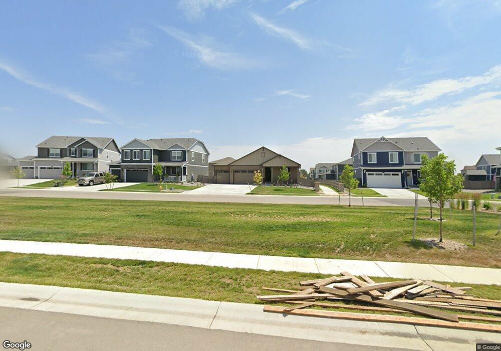
1336 Westport Loop Berthoud, CO 80513
Estimated Value: $566,000 - $635,000
4
Beds
3
Baths
1,616
Sq Ft
$373/Sq Ft
Est. Value
About This Home
This home is located at 1336 Westport Loop, Berthoud, CO 80513 and is currently estimated at $602,163, approximately $372 per square foot. 1336 Westport Loop is a home with nearby schools including Berthoud Elementary School, Turner Middle School, and Berthoud High School.
Ownership History
Date
Name
Owned For
Owner Type
Purchase Details
Closed on
Feb 25, 2025
Sold by
Mcmann Richard R and Mcmann Katherine H
Bought by
Kathy & Roger Mcmanns Loving Trust
Current Estimated Value
Purchase Details
Closed on
Nov 24, 2020
Sold by
Melody Homes Inc
Bought by
Mcmann Richard R and Mcmann Katherine H
Home Financials for this Owner
Home Financials are based on the most recent Mortgage that was taken out on this home.
Original Mortgage
$352,220
Interest Rate
2.8%
Mortgage Type
New Conventional
Create a Home Valuation Report for This Property
The Home Valuation Report is an in-depth analysis detailing your home's value as well as a comparison with similar homes in the area
Home Values in the Area
Average Home Value in this Area
Purchase History
| Date | Buyer | Sale Price | Title Company |
|---|---|---|---|
| Kathy & Roger Mcmanns Loving Trust | -- | None Listed On Document | |
| Mcmann Richard R | $440,275 | Dhi Title Agency |
Source: Public Records
Mortgage History
| Date | Status | Borrower | Loan Amount |
|---|---|---|---|
| Previous Owner | Mcmann Richard R | $352,220 |
Source: Public Records
Tax History
| Year | Tax Paid | Tax Assessment Tax Assessment Total Assessment is a certain percentage of the fair market value that is determined by local assessors to be the total taxable value of land and additions on the property. | Land | Improvement |
|---|---|---|---|---|
| 2025 | $5,488 | $37,519 | $10,900 | $26,619 |
| 2024 | $5,317 | $37,956 | $10,653 | $27,303 |
| 2022 | $4,370 | $28,996 | $7,854 | $21,142 |
| 2021 | $4,477 | $29,830 | $8,080 | $21,750 |
| 2020 | $3,067 | $20,242 | $20,242 | $0 |
| 2019 | $3,012 | $20,242 | $20,242 | $0 |
| 2018 | $429 | $2,894 | $2,894 | $0 |
| 2017 | $395 | $2,894 | $2,894 | $0 |
Source: Public Records
Map
Nearby Homes
- 1413 Westport Ave
- 1431 Vantage Pkwy
- 1521 Sun River Rd
- 1577 Sun River Rd
- 1562 Sun River Rd
- 898 Eastport Dr
- 850 Eastport Dr
- 1376 Sunrise Hill Dr
- 1388 Sunrise Hill Dr
- 1404 Sunrise Hill Dr
- 1412 Sunrise Hill Dr
- 1432 Sunrise Hill Dr
- 1450 Sunrise Hill Dr
- 895 Bruce Dr
- 1820 Chaffee Crest Dr
- 1815 Chaffee Crest Dr
- 1832 Sawtooth Mountain Dr
- 1800 Westport Ave
- 1408 Oak Dr
- 1847 Chaffee Crest Dr
- 1342 Westport Loop
- 1300 Westport Loop
- 1339 Westport Ave
- 1317 Westport Ave
- 1353 Westport Ave
- 1301 Westport Ave
- 1324 Westport Loop
- 1358 Westport Loop
- 1310 Westport Loop
- 1358 Westport Ave
- 1385 Westport Ave
- 1384 Westport Loop
- 1295 Westport Ave
- 1384 Westport Ave
- 1370 Westport Loop
- 1371 Westport Ave
- 1327 Vantage Pkwy
- 1283 Westport Ave
- 1387 Westport Ave
- 1335 Vantage Pkwy
Your Personal Tour Guide
Ask me questions while you tour the home.