13360 Locust Ridge New Harm Rd Williamsburg, OH 45176
Estimated Value: $227,933 - $308,000
4
Beds
1
Bath
2,202
Sq Ft
$121/Sq Ft
Est. Value
About This Home
This home is located at 13360 Locust Ridge New Harm Rd, Williamsburg, OH 45176 and is currently estimated at $265,733, approximately $120 per square foot. 13360 Locust Ridge New Harm Rd is a home located in Brown County with nearby schools including Western Brown High School.
Ownership History
Date
Name
Owned For
Owner Type
Purchase Details
Closed on
Mar 3, 2025
Sold by
Herbolt John R
Bought by
Herbolt Preservation Trust and Herbolt
Current Estimated Value
Purchase Details
Closed on
Jul 10, 1997
Sold by
Ogden William C
Bought by
John and Herbolt Angela
Home Financials for this Owner
Home Financials are based on the most recent Mortgage that was taken out on this home.
Original Mortgage
$71,500
Interest Rate
8%
Mortgage Type
New Conventional
Create a Home Valuation Report for This Property
The Home Valuation Report is an in-depth analysis detailing your home's value as well as a comparison with similar homes in the area
Home Values in the Area
Average Home Value in this Area
Purchase History
| Date | Buyer | Sale Price | Title Company |
|---|---|---|---|
| Herbolt Preservation Trust | -- | None Listed On Document | |
| Herbolt Preservation Trust | -- | None Listed On Document | |
| John | $68,500 | -- |
Source: Public Records
Mortgage History
| Date | Status | Borrower | Loan Amount |
|---|---|---|---|
| Previous Owner | John | $71,500 |
Source: Public Records
Tax History Compared to Growth
Tax History
| Year | Tax Paid | Tax Assessment Tax Assessment Total Assessment is a certain percentage of the fair market value that is determined by local assessors to be the total taxable value of land and additions on the property. | Land | Improvement |
|---|---|---|---|---|
| 2024 | $1,326 | $56,750 | $9,550 | $47,200 |
| 2023 | $1,326 | $43,860 | $6,930 | $36,930 |
| 2022 | $1,275 | $43,860 | $6,930 | $36,930 |
| 2021 | $1,260 | $43,860 | $6,930 | $36,930 |
| 2020 | $1,088 | $36,550 | $5,780 | $30,770 |
| 2019 | $1,170 | $36,550 | $5,780 | $30,770 |
| 2018 | $1,159 | $36,550 | $5,780 | $30,770 |
| 2017 | $989 | $30,840 | $5,780 | $25,060 |
| 2016 | $989 | $30,840 | $5,780 | $25,060 |
| 2015 | $978 | $30,840 | $5,780 | $25,060 |
| 2014 | $978 | $30,310 | $5,250 | $25,060 |
| 2013 | $976 | $30,310 | $5,250 | $25,060 |
Source: Public Records
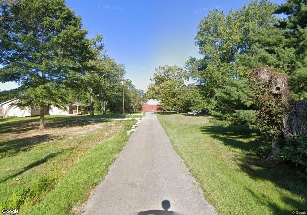
Map
Nearby Homes
- 3722 Coon Ave
- 3644 Deer Trace
- 12570 Liming van Thompson Rd
- 0 Deer Trace Rd
- 3614 Bootjack Corner Rd
- 3631 Bass Rd
- 3685 Happy Hollow Rd
- 3750 Starling Rd
- 1993 Old State Rd
- 133 Kelly Dr
- 3690 Todds Run Foster Rd
- 101 Julian Ln
- 2437 Tri County Hwy
- 110 Copper Sun Ct
- 111 Copper Sun Ct
- Bellamy Plan at Cornerstone Crossing
- Fairton Plan at Cornerstone Crossing
- Harmony Plan at Cornerstone Crossing
- Aldridge Plan at Cornerstone Crossing
- 11818 Cloverlick Rd
- 13348 Locust Ridge New Harm Rd
- 13316 Locust Ridge New Harm Rd
- 13316 Locust Ridge New Harm Rd
- 2 Locust Ridge New Harmony Rd Unit 2
- 1 Locust Ridge New Harmony Rd Unit 1
- 13269 Locust Ridge New Harm Rd
- 13374 Locust Ridge New Harmony
- 13495 Locust Ridge New Harm Rd
- 13283 Locust Ridge New Harm Rd
- 13577 Locust Ridge New Harm Rd
- 13130 Locust Ridge New Harmony Rd
- 13611 Locust Ridge New Harm Rd
- 13524 Meeker Rd
- 13507 Meeker Rd
- 1494 New Harmony Shiloh Rd
- 13055 Locust Ridge New Harmony Rd
- 13584 Meeker Rd
- 13055 Locust Ridge New Harm Rd
- 13453 Meeker Rd
- 13545 Meeker Rd