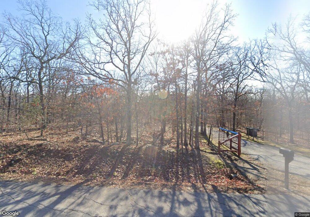
Estimated Value: $272,000 - $316,000
--
Bed
2
Baths
1,718
Sq Ft
$172/Sq Ft
Est. Value
About This Home
This home is located at 13364 E 205th St S, Bixby, OK 74008 and is currently estimated at $295,845, approximately $172 per square foot. 13364 E 205th St S is a home located in Tulsa County with nearby schools including Central Elementary School, Bixby Central Intermediate School, and Bixby Middle School.
Ownership History
Date
Name
Owned For
Owner Type
Purchase Details
Closed on
Jan 13, 2004
Sold by
Simpson Richard A
Bought by
Bataray Gregg S and Batary Suzanne M
Current Estimated Value
Home Financials for this Owner
Home Financials are based on the most recent Mortgage that was taken out on this home.
Original Mortgage
$122,550
Outstanding Balance
$57,590
Interest Rate
5.97%
Mortgage Type
Purchase Money Mortgage
Estimated Equity
$238,255
Purchase Details
Closed on
Sep 8, 1999
Sold by
Jones S Katherine
Bought by
Simpson Richard A
Purchase Details
Closed on
Aug 1, 1998
Sold by
Jones L Wesley
Bought by
Jones S Katherine
Purchase Details
Closed on
Oct 1, 1989
Create a Home Valuation Report for This Property
The Home Valuation Report is an in-depth analysis detailing your home's value as well as a comparison with similar homes in the area
Home Values in the Area
Average Home Value in this Area
Purchase History
| Date | Buyer | Sale Price | Title Company |
|---|---|---|---|
| Bataray Gregg S | $129,000 | Firstitle & Abstract Service | |
| Simpson Richard A | $105,000 | Delta Title & Escrow Company | |
| Jones S Katherine | -- | -- | |
| -- | $71,500 | -- |
Source: Public Records
Mortgage History
| Date | Status | Borrower | Loan Amount |
|---|---|---|---|
| Open | Bataray Gregg S | $122,550 |
Source: Public Records
Tax History Compared to Growth
Tax History
| Year | Tax Paid | Tax Assessment Tax Assessment Total Assessment is a certain percentage of the fair market value that is determined by local assessors to be the total taxable value of land and additions on the property. | Land | Improvement |
|---|---|---|---|---|
| 2024 | $2,298 | $16,947 | $2,309 | $14,638 |
| 2023 | $2,298 | $17,425 | $2,261 | $15,164 |
| 2022 | $2,237 | $15,918 | $3,862 | $12,056 |
| 2021 | $2,026 | $15,424 | $3,742 | $11,682 |
| 2020 | $2,038 | $15,424 | $3,742 | $11,682 |
| 2019 | $1,986 | $14,971 | $3,632 | $11,339 |
| 2018 | $1,906 | $14,505 | $3,519 | $10,986 |
| 2017 | $1,835 | $15,055 | $3,653 | $11,402 |
| 2016 | $1,756 | $14,615 | $3,546 | $11,069 |
| 2015 | $1,627 | $14,190 | $3,443 | $10,747 |
| 2014 | $1,625 | $14,190 | $3,443 | $10,747 |
Source: Public Records
Map
Nearby Homes
- 20101 S 137th East Ave
- 10 E 205th St S
- 20137 S 137th East Ave
- 14215 E 208th St S
- 14500 E 202nd St S
- 14250 E 202nd St S
- S 145th East Ave
- 0 S 145th Ave Unit 2524079
- 151 S E Ave S
- 19682 S 145th Ave E
- 19638 S Garnett Rd
- 9916 E 206th St
- 18342 S 132nd East Ave
- 18235 S 129th East Ave
- 0 East Ave Unit 2524879
- 17104 S 129th East Ave
- 12920 E 183rd St S
- N320 Road
- 21500 S Mingo Rd
- 18401 S 129th Ave E
- 13466 E 205th St S
- 13262 E 205th St S
- 13558 E 205th St S
- 13558 E 205th St S
- 13136 E 205th St S
- 13439 E 205th St S
- 20538 S 137th East Ave
- 13521 E 205th St S
- 20512 S 137th East Ave
- 13261 E 205th St S
- 20430 S 131st East Ave
- 20539 S 137th East Ave
- 20362 S 131st East Ave
- 20513 S 137th East Ave
- 20438 S 137th East Ave
- 20322 S 137th East Ave
- 20615 S 138th Ave E
- 20301 S 131st East Ave
- 20477 S 137th East Ave
- 20342 S 131st East Ave
