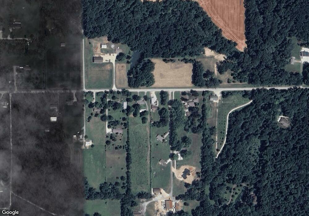
1337 E 800 N West Lafayette, IN 47906
Estimated Value: $245,000 - $267,000
3
Beds
2
Baths
1,320
Sq Ft
$191/Sq Ft
Est. Value
About This Home
This home is located at 1337 E 800 N, West Lafayette, IN 47906 and is currently estimated at $252,759, approximately $191 per square foot. 1337 E 800 N is a home located in Tippecanoe County with nearby schools including Battle Ground Elementary School, Battle Ground Middle School, and William Henry Harrison High School.
Ownership History
Date
Name
Owned For
Owner Type
Purchase Details
Closed on
Aug 27, 2020
Sold by
Mccaw William J and Mccaw Michele E
Bought by
Wolf Frank H and Mccaw Kassandra
Current Estimated Value
Purchase Details
Closed on
Feb 4, 2019
Sold by
Barlow Nathan B and Barlow Karen R
Bought by
Mccaw William J and Mccaw Michael E
Purchase Details
Closed on
Sep 12, 2011
Sold by
Scott Earlene R
Bought by
Barlow Nathan B and Barlow Karen R
Purchase Details
Closed on
Jul 1, 2009
Sold by
Scott Earlene R
Bought by
Fultz Patricia L and Fultz Neal J
Home Financials for this Owner
Home Financials are based on the most recent Mortgage that was taken out on this home.
Original Mortgage
$68,152
Interest Rate
6.87%
Mortgage Type
Seller Take Back
Create a Home Valuation Report for This Property
The Home Valuation Report is an in-depth analysis detailing your home's value as well as a comparison with similar homes in the area
Home Values in the Area
Average Home Value in this Area
Purchase History
| Date | Buyer | Sale Price | Title Company |
|---|---|---|---|
| Wolf Frank H | $144,500 | Springdale Title | |
| Mccaw William J | -- | None Available | |
| Barlow Nathan B | -- | None Available | |
| Fultz Patricia L | $74,152 | None Available |
Source: Public Records
Mortgage History
| Date | Status | Borrower | Loan Amount |
|---|---|---|---|
| Previous Owner | Fultz Patricia L | $68,152 |
Source: Public Records
Tax History Compared to Growth
Tax History
| Year | Tax Paid | Tax Assessment Tax Assessment Total Assessment is a certain percentage of the fair market value that is determined by local assessors to be the total taxable value of land and additions on the property. | Land | Improvement |
|---|---|---|---|---|
| 2024 | $878 | $159,100 | $26,000 | $133,100 |
| 2023 | $996 | $154,500 | $26,000 | $128,500 |
| 2022 | $536 | $105,900 | $26,000 | $79,900 |
| 2021 | $434 | $93,900 | $26,000 | $67,900 |
| 2020 | $367 | $88,300 | $26,000 | $62,300 |
| 2019 | $1,083 | $74,300 | $26,000 | $48,300 |
| 2018 | $1,060 | $74,300 | $26,000 | $48,300 |
| 2017 | $979 | $68,600 | $26,000 | $42,600 |
| 2016 | $953 | $67,200 | $26,000 | $41,200 |
| 2014 | $907 | $64,400 | $26,000 | $38,400 |
| 2013 | $1,022 | $68,800 | $26,000 | $42,800 |
Source: Public Records
Map
Nearby Homes
- 689 Winslow Ln
- 9099 Herring Ln
- 9060 Herring Ln
- 8850 N 275 E
- 6519 Ironclad Way
- Lincoln Plan at The Preserve
- Van Buren Plan at The Preserve
- Jefferson Plan at The Preserve
- Harrison Plan at The Preserve
- Reagan Plan at The Preserve
- Taylor Plan at The Preserve
- Arthur Plan at The Preserve
- Eisenhower Plan at The Preserve
- Monroe Plan at The Preserve
- 7315 N 300 E
- 6336 Munsee Dr
- 7319 N 300 E
- 6101 Gilwell Dr
- Promenade Plan at The Courtyards at Belle Terra
- Capri Plan at The Courtyards at Belle Terra