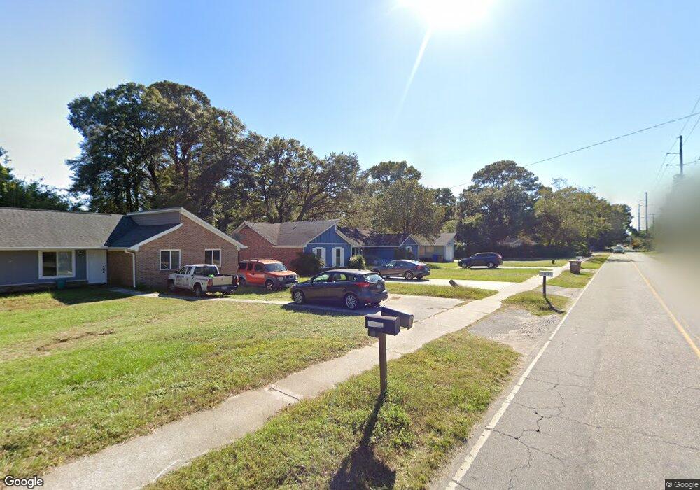
1337 Fort Johnson Rd Charleston, SC 29412
James Island NeighborhoodEstimated Value: $514,000 - $661,000
5
Beds
4
Baths
2,371
Sq Ft
$261/Sq Ft
Est. Value
About This Home
This home is located at 1337 Fort Johnson Rd, Charleston, SC 29412 and is currently estimated at $618,000, approximately $260 per square foot. 1337 Fort Johnson Rd is a home located in Charleston County with nearby schools including Harbor View Elementary School, Camp Road Middle, and James Island Charter High School.
Ownership History
Date
Name
Owned For
Owner Type
Purchase Details
Closed on
Apr 27, 2018
Sold by
Kuznik Holdings Llc
Bought by
Ward Jonathan James and Ward Heather Ann
Current Estimated Value
Home Financials for this Owner
Home Financials are based on the most recent Mortgage that was taken out on this home.
Original Mortgage
$191,415
Outstanding Balance
$165,004
Interest Rate
4.45%
Mortgage Type
New Conventional
Estimated Equity
$452,996
Purchase Details
Closed on
Jan 21, 2011
Sold by
Henrys Construction Company Inc
Bought by
Kuznik Holdings Llc
Create a Home Valuation Report for This Property
The Home Valuation Report is an in-depth analysis detailing your home's value as well as a comparison with similar homes in the area
Home Values in the Area
Average Home Value in this Area
Purchase History
| Date | Buyer | Sale Price | Title Company |
|---|---|---|---|
| Ward Jonathan James | $255,272 | None Available | |
| Kuznik Holdings Llc | -- | -- |
Source: Public Records
Mortgage History
| Date | Status | Borrower | Loan Amount |
|---|---|---|---|
| Open | Ward Jonathan James | $191,415 |
Source: Public Records
Tax History Compared to Growth
Tax History
| Year | Tax Paid | Tax Assessment Tax Assessment Total Assessment is a certain percentage of the fair market value that is determined by local assessors to be the total taxable value of land and additions on the property. | Land | Improvement |
|---|---|---|---|---|
| 2024 | $5,415 | $19,500 | $0 | $0 |
| 2023 | $5,415 | $19,500 | $0 | $0 |
| 2022 | $4,941 | $19,500 | $0 | $0 |
| 2021 | $4,919 | $19,500 | $0 | $0 |
| 2020 | $4,816 | $19,500 | $0 | $0 |
| 2019 | $5,107 | $19,500 | $0 | $0 |
| 2017 | $2,742 | $10,350 | $0 | $0 |
| 2016 | $2,653 | $10,350 | $0 | $0 |
| 2015 | $2,610 | $10,350 | $0 | $0 |
| 2014 | $2,441 | $0 | $0 | $0 |
| 2011 | -- | $0 | $0 | $0 |
Source: Public Records
Map
Nearby Homes
- 1404 Ivy Isle Dr
- 1129 Landsdowne Dr
- 1508 Swamp Fox Ln
- 1422 Wexford Sound Dr
- 1512 Seacroft Rd
- 1393 Secessionville Rd
- 1232 Silverleaf Cir
- 1134 Hillman St
- 1135 Bellwood Rd
- 1445 Swamp Angel Ct
- 1333 Teal Ave
- 1530 Fort Johnson Rd Unit 1E
- 1530 Fort Johnson Rd Unit 1L
- 1540 Fort Johnson Rd
- 1249 Stone Post Rd
- 1547 Seacroft Rd
- 1129 Camp Rd
- 1335 Camp Rd
- 1344 Teal Ave
- 1174 Fort Johnson Rd
- 1337 Fort Johnson Rd Unit A/B
- 1333 Fort Johnson Rd
- 1341 Fort Johnson Rd
- 1341 Fort Johnson Rd Unit 1309
- 1334 Bob White Dr
- 1201 Landsdowne Dr
- 1330 Bob White Dr
- 1329 Fort Johnson Rd
- 1329 Fort Johnson Rd Unit A, B
- 1329 Fort Johnson Rd Unit A
- 1202 Chicorie Way
- 1242 Hepburn St
- 1212 Chicorie Way
- 1338 Bob White Dr
- 1199 Landsdowne Dr
- 1326 Bob White Dr
- 1196 Landsdowne Dr
- 1325 Fort Johnson Rd
- 1222 Chicorie Way
- 1194 Landsdowne Dr