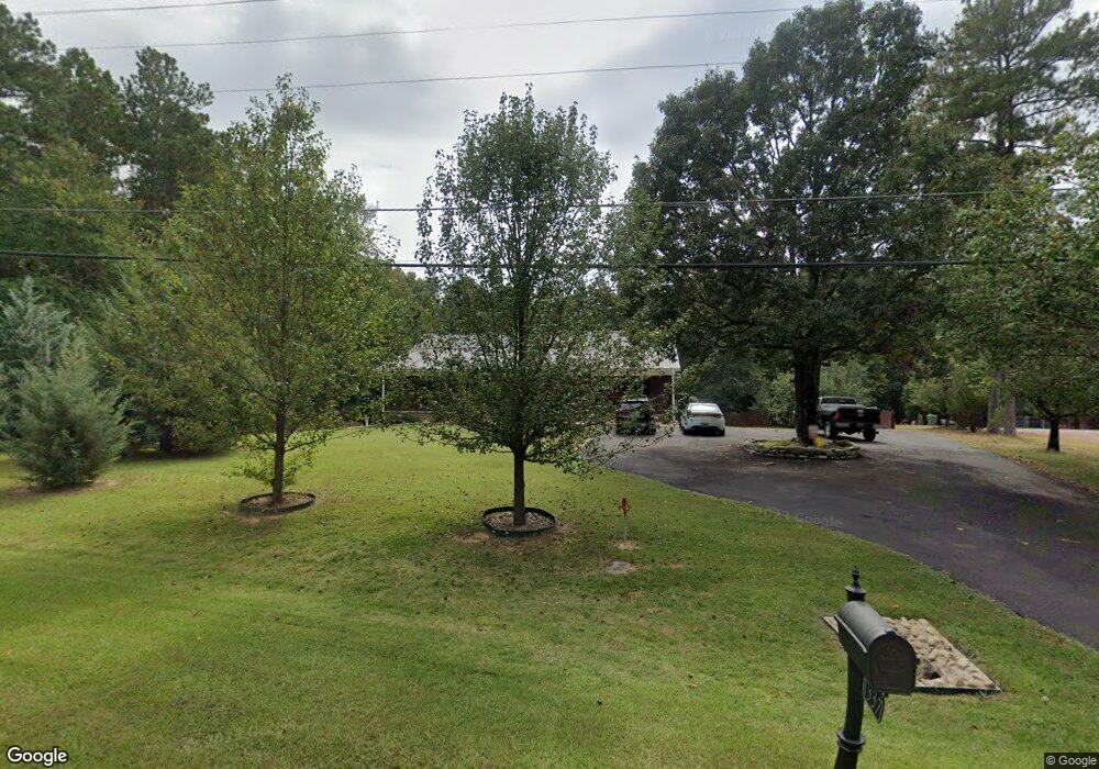
1337 High Shoals Rd Dallas, GA 30132
Estimated Value: $415,000 - $626,000
3
Beds
3
Baths
1,980
Sq Ft
$260/Sq Ft
Est. Value
About This Home
This home is located at 1337 High Shoals Rd, Dallas, GA 30132 and is currently estimated at $515,085, approximately $260 per square foot. 1337 High Shoals Rd is a home located in Paulding County with nearby schools including Northside Elementary School, Sammy Mcclure Sr. Middle School, and North Paulding High School.
Ownership History
Date
Name
Owned For
Owner Type
Purchase Details
Closed on
May 22, 2009
Sold by
Hud & Housing Of Urban Dev
Bought by
Grinstead Shawn D
Current Estimated Value
Home Financials for this Owner
Home Financials are based on the most recent Mortgage that was taken out on this home.
Original Mortgage
$157,610
Outstanding Balance
$99,367
Interest Rate
4.81%
Mortgage Type
FHA
Estimated Equity
$415,718
Purchase Details
Closed on
Oct 7, 2008
Sold by
Wells Fargo Bk Na
Bought by
Hud-Housing Of Urban Dev
Purchase Details
Closed on
Jun 30, 2000
Sold by
Black David L
Bought by
Haney Ralph C and Haney Rebecca L
Home Financials for this Owner
Home Financials are based on the most recent Mortgage that was taken out on this home.
Original Mortgage
$162,659
Interest Rate
8.54%
Mortgage Type
FHA
Create a Home Valuation Report for This Property
The Home Valuation Report is an in-depth analysis detailing your home's value as well as a comparison with similar homes in the area
Home Values in the Area
Average Home Value in this Area
Purchase History
| Date | Buyer | Sale Price | Title Company |
|---|---|---|---|
| Grinstead Shawn D | $155,000 | -- | |
| Hud-Housing Of Urban Dev | -- | -- | |
| Wells Fargo Bk Na | $187,035 | -- | |
| Haney Ralph C | $164,000 | -- |
Source: Public Records
Mortgage History
| Date | Status | Borrower | Loan Amount |
|---|---|---|---|
| Open | Grinstead Shawn D | $157,610 | |
| Previous Owner | Haney Ralph C | $162,659 |
Source: Public Records
Tax History Compared to Growth
Tax History
| Year | Tax Paid | Tax Assessment Tax Assessment Total Assessment is a certain percentage of the fair market value that is determined by local assessors to be the total taxable value of land and additions on the property. | Land | Improvement |
|---|---|---|---|---|
| 2024 | $5,299 | $216,280 | $55,160 | $161,120 |
| 2023 | $5,349 | $207,720 | $53,840 | $153,880 |
| 2022 | $3,327 | $189,320 | $46,800 | $142,520 |
| 2021 | $3,180 | $150,800 | $39,560 | $111,240 |
| 2020 | $2,965 | $138,440 | $39,560 | $98,880 |
| 2019 | $2,885 | $132,200 | $37,680 | $94,520 |
| 2018 | $3,591 | $121,040 | $32,880 | $88,160 |
| 2017 | $2,671 | $114,520 | $31,520 | $83,000 |
| 2016 | $2,031 | $69,040 | $26,040 | $43,000 |
| 2015 | $2,068 | $69,040 | $26,040 | $43,000 |
| 2014 | $2,121 | $69,040 | $26,040 | $43,000 |
| 2013 | -- | $61,840 | $28,320 | $33,520 |
Source: Public Records
Map
Nearby Homes
- Braydon Plan at High Shoals
- Newport Plan at Pointe North
- Sierra Plan at High Shoals
- Brighton Plan at Pointe North
- Alexander Plan at High Shoals
- Madison Plan at Pointe North
- 0 Forest Creek
- 688 Shoals Trail
- 282 Shoals Trail
- 693 Shoals Trail
- 676 High Shoals Rd
- 177 Muriel Ct
- 70 Meridian Point Unit 182
- 55 Meridian Point
- 2057 High Shoals Rd
- 84 Principal Pointe
- 16 Virgil St
- 94 Radian Ct
- 59 Observation Ct
- 59 Observation Ct Unit 129
- 1360 High Shoals Rd
- 21 Buck Trail
- 1321 High Shoals Rd
- 41 Buck Trail
- 59 Buck Trail
- 1301 High Shoals Rd
- 80 Black Forest Dr
- 1229 High Shoals Rd
- 20 Lookout Ct
- 79 Buck Trail
- 26 Buck Trail
- 46 Buck Trail
- 1240 High Shoals Rd
- 66 Buck Trail
- 99 Buck Trail
- 117 Buck Trail
- 100 Black Forest Dr
- 0 Black Forest Dr Unit 7155949
- 0 Black Forest Dr Unit 8603781
- 0 Black Forest Dr Unit 8259421