Estimated Value: $97,000
Studio
1
Bath
--
Sq Ft
43,560
Sq Ft Lot
About This Home
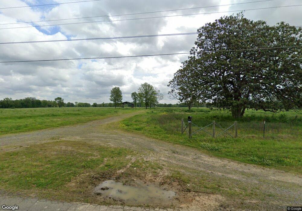
This home is located at 1337 Moon Rd, Ward, AR 72176 and is currently priced at $97,000. 1337 Moon Rd is a home located in Lonoke County with nearby schools including Ward Central Elementary School, Cabot Middle School North, and Cabot Junior High North.
Ownership History
Date
Name
Owned For
Owner Type
Purchase Details
Closed on
Jul 10, 2023
Sold by
Commissioner Of State Lands
Bought by
Burns Dwayne and Burns Amy
Current Estimated Value
Purchase Details
Closed on
Jun 30, 2023
Sold by
Burns Dwayne and Burns Amy
Bought by
Sowell Family Trust and Sowell
Purchase Details
Closed on
May 11, 2004
Bought by
Burns Dwayne and Wf Amy
Purchase Details
Closed on
May 10, 2004
Bought by
Burns and Burns Wf
Purchase Details
Closed on
Apr 7, 2004
Bought by
Milam Trust *Legal Wrg*
Purchase Details
Closed on
Mar 26, 2004
Bought by
Milam Trust *Legal Wrg*
Purchase Details
Closed on
Aug 29, 1989
Bought by
Burns and Wife Amy
Create a Home Valuation Report for This Property
The Home Valuation Report is an in-depth analysis detailing your home's value as well as a comparison with similar homes in the area
Home Values in the Area
Average Home Value in this Area
Purchase History
| Date | Buyer | Sale Price | Title Company |
|---|---|---|---|
| Burns Dwayne | $327 | None Listed On Document | |
| Sowell Family Trust | -- | None Listed On Document | |
| Burns Dwayne | $20,000 | -- | |
| Burns | -- | -- | |
| Milam Trust | -- | -- | |
| Milam Trust *Legal Wrg* | -- | -- | |
| Milam Trust *Legal Wrg* | -- | -- | |
| Burns | -- | -- |
Source: Public Records
Tax History
| Year | Tax Paid | Tax Assessment Tax Assessment Total Assessment is a certain percentage of the fair market value that is determined by local assessors to be the total taxable value of land and additions on the property. | Land | Improvement |
|---|---|---|---|---|
| 2023 | $83 | $2,000 | $2,000 | $0 |
| 2022 | $83 | $2,000 | $2,000 | $0 |
| 2021 | $76 | $2,000 | $2,000 | $0 |
| 2020 | $69 | $1,500 | $1,500 | $0 |
| 2019 | $69 | $1,500 | $1,500 | $0 |
| 2018 | $69 | $1,500 | $1,500 | $0 |
| 2017 | $64 | $1,500 | $1,500 | $0 |
| 2016 | $69 | $1,500 | $1,500 | $0 |
| 2015 | $226 | $5,340 | $1,500 | $3,840 |
| 2014 | $245 | $5,340 | $1,500 | $3,840 |
Source: Public Records
Map
Nearby Homes
- 450 Moonlight Graham Blvd
- 430 Moonlight Graham Blvd
- 371 Moonlight Graham Blvd
- 460 Moonlight Graham Blvd
- 490 Moonlight Graham Blvd
- 520 Moonlight Graham Blvd
- 391 Moonlight Graham Blvd
- 401 Moonlight Graham Blvd
- 351 Moonlight Graham Blvd
- 361 Moonlight Graham Blvd
- 381 Moonlight Graham Blvd
- 341 Moonlight Graham Blvd
- 510 Moonlight Graham Blvd
- 7 Moonlight Cove
- 23 Moonridge
- 24 Gold Meadow Loop
- 31 Crosswind Cove
- 341 Moonlight Graham Rd
- 361 Moonlight Graham Rd
- 351 Moonlight Graham Rd
- 1340 Moon Rd
- 2 Black Oak Cir
- 6 Black Oak Cir
- 1444 Moon Rd
- 105 Margie Dr
- 80 Margie Dr
- 12 Black Oak Cir
- 1500 Moon Rd
- 121 Margie Dr
- 11 Moonlight Cove
- 65 Black Oak Cir
- 0 Black Oak Cir
- 1502 Moon Rd
- 10 Moonlight Cove
- 16 Black Oak Cir
- 120 Margie Dr Unit 122
- 1504 Moon Rd
- 9 Moonlight Cove
- 70 Black Oak Cir
- 1506 Moon Rd
Your Personal Tour Guide
Ask me questions while you tour the home.