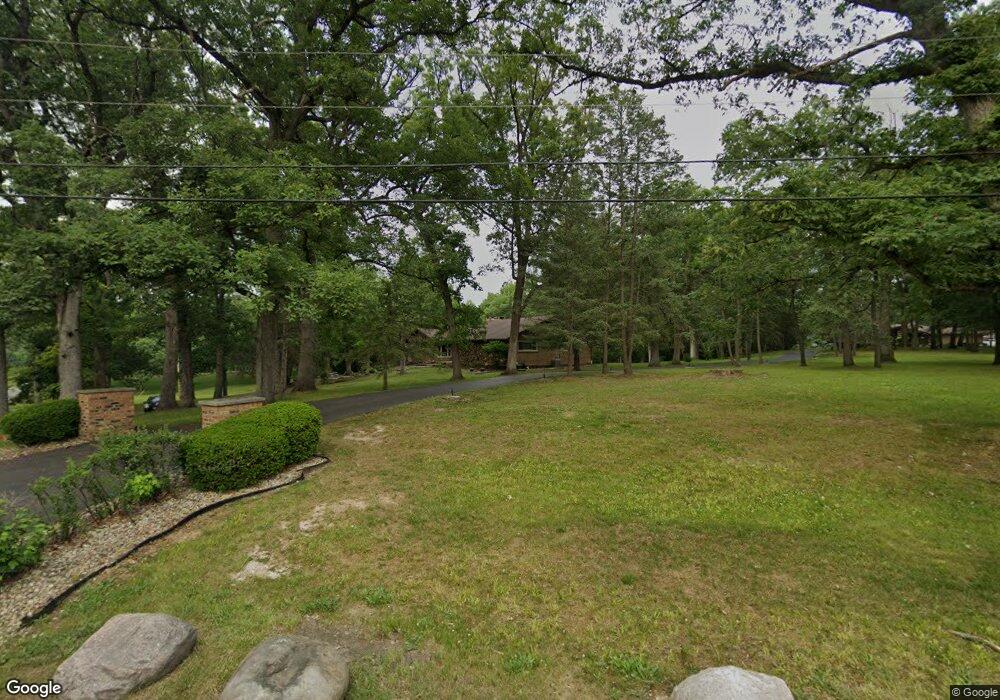
13375 Maple Ave Lemont, IL 60439
Southeast Lemont NeighborhoodEstimated Value: $592,000 - $704,000
3
Beds
2
Baths
2,342
Sq Ft
$278/Sq Ft
Est. Value
About This Home
This home is located at 13375 Maple Ave, Lemont, IL 60439 and is currently estimated at $651,900, approximately $278 per square foot. 13375 Maple Ave is a home located in Cook County with nearby schools including Oakwood School, River Valley School, and Old Quarry Middle School.
Ownership History
Date
Name
Owned For
Owner Type
Purchase Details
Closed on
Mar 9, 2004
Sold by
Mrkacek Eileen
Bought by
Mccann Kevin R and Mccann Heather C
Current Estimated Value
Home Financials for this Owner
Home Financials are based on the most recent Mortgage that was taken out on this home.
Original Mortgage
$300,000
Outstanding Balance
$140,109
Interest Rate
5.66%
Mortgage Type
Unknown
Estimated Equity
$511,791
Create a Home Valuation Report for This Property
The Home Valuation Report is an in-depth analysis detailing your home's value as well as a comparison with similar homes in the area
Home Values in the Area
Average Home Value in this Area
Purchase History
| Date | Buyer | Sale Price | Title Company |
|---|---|---|---|
| Mccann Kevin R | $420,000 | Cti |
Source: Public Records
Mortgage History
| Date | Status | Borrower | Loan Amount |
|---|---|---|---|
| Open | Mccann Kevin R | $300,000 |
Source: Public Records
Tax History Compared to Growth
Tax History
| Year | Tax Paid | Tax Assessment Tax Assessment Total Assessment is a certain percentage of the fair market value that is determined by local assessors to be the total taxable value of land and additions on the property. | Land | Improvement |
|---|---|---|---|---|
| 2024 | $7,843 | $45,000 | $21,573 | $23,427 |
| 2023 | $7,880 | $45,000 | $21,573 | $23,427 |
| 2022 | $7,880 | $40,265 | $12,327 | $27,938 |
| 2021 | $7,718 | $40,264 | $12,327 | $27,937 |
| 2020 | $7,984 | $40,264 | $12,327 | $27,937 |
| 2019 | $7,434 | $39,222 | $12,327 | $26,895 |
| 2018 | $7,322 | $39,222 | $12,327 | $26,895 |
| 2017 | $7,282 | $39,222 | $12,327 | $26,895 |
| 2016 | $6,884 | $35,194 | $9,245 | $25,949 |
| 2015 | $6,905 | $35,194 | $9,245 | $25,949 |
| 2014 | $7,023 | $35,194 | $9,245 | $25,949 |
| 2013 | $7,889 | $41,575 | $9,245 | $32,330 |
Source: Public Records
Map
Nearby Homes
- 13175 Fox Ln
- 14690 Fox Hollow
- 13100 Fox Ln
- 14120 Baltic Cir
- 14151 131st St
- 12 Woodland Dr
- 15082 131st St
- 13204 Derby Rd
- 14840 W 139th St
- 14655 W Walnut Ave
- 12920 Marble St
- 12853 Marble St Unit 27A
- 12830 Marble St Unit 25A
- 16500 Kayla Dr
- 12744 Caruso Ct
- 1249 Cronin Ct
- 13735 W Meath Dr
- 12723 Caruso Ct
- 12652 Derby Rd
- 1369 Notre Dame Dr
- 13355 Maple Ave
- 13380 Maple Ave
- 13400 Maple Ave
- Lot 87 Maple Ave
- 13617 Maple Ave
- 13340 Maple Ave
- 13415 Maple Ave
- 14522 W Hickory Ave
- 13315 Maple Ave
- 14531 W Hickory Ave
- 13300 Maple Ave
- 13445 Maple Ave
- 14542 W Hickory Ave
- 13430 Maple Ave
- 13295 Maple Ave
- 14555 W Hickory Ave
- 13465 Maple Ave
- 13450 Maple Ave
- 13284 Maple Ave
- 14611 W Hickory Ave