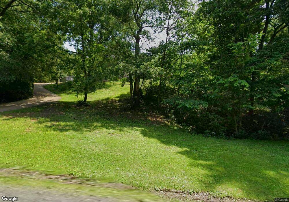
1338 Ash Rd Vandergrift, PA 15690
Estimated Value: $283,092 - $397,000
3
Beds
1
Bath
1,728
Sq Ft
$206/Sq Ft
Est. Value
About This Home
This home is located at 1338 Ash Rd, Vandergrift, PA 15690 and is currently estimated at $356,523, approximately $206 per square foot. 1338 Ash Rd is a home with nearby schools including Kiski Area High School.
Ownership History
Date
Name
Owned For
Owner Type
Purchase Details
Closed on
Jun 22, 2005
Sold by
Feydt Kenton L and Feydt Christina
Bought by
Rauso Ralph F and Rauso Carol J
Current Estimated Value
Home Financials for this Owner
Home Financials are based on the most recent Mortgage that was taken out on this home.
Original Mortgage
$142,000
Outstanding Balance
$73,703
Interest Rate
5.67%
Mortgage Type
New Conventional
Estimated Equity
$282,820
Purchase Details
Closed on
Mar 29, 1993
Create a Home Valuation Report for This Property
The Home Valuation Report is an in-depth analysis detailing your home's value as well as a comparison with similar homes in the area
Home Values in the Area
Average Home Value in this Area
Purchase History
| Date | Buyer | Sale Price | Title Company |
|---|---|---|---|
| Rauso Ralph F | $142,000 | None Available | |
| -- | -- | -- |
Source: Public Records
Mortgage History
| Date | Status | Borrower | Loan Amount |
|---|---|---|---|
| Open | Rauso Ralph F | $142,000 |
Source: Public Records
Tax History
| Year | Tax Paid | Tax Assessment Tax Assessment Total Assessment is a certain percentage of the fair market value that is determined by local assessors to be the total taxable value of land and additions on the property. | Land | Improvement |
|---|---|---|---|---|
| 2025 | $4,439 | $59,620 | $33,990 | $25,630 |
| 2024 | $4,101 | $59,620 | $33,990 | $25,630 |
| 2023 | $3,467 | $59,620 | $33,990 | $25,630 |
| 2022 | $3,467 | $59,620 | $33,990 | $25,630 |
| 2021 | $3,462 | $59,620 | $33,990 | $25,630 |
| 2020 | $3,507 | $59,620 | $33,990 | $25,630 |
| 2019 | $3,504 | $59,620 | $33,990 | $25,630 |
| 2018 | $3,435 | $48,555 | $11,945 | $36,610 |
| 2017 | $3,117 | $54,780 | $31,570 | $23,210 |
| 2016 | $3,027 | $54,780 | $31,570 | $23,210 |
| 2015 | $2,773 | $54,780 | $31,570 | $23,210 |
| 2014 | $2,773 | $54,780 | $31,570 | $23,210 |
Source: Public Records
Map
Nearby Homes
- 214 and 214 1/2 Whittier St
- 0 Lutheran Church Rd
- 1212 Gravel Bar Rd
- 2280 Garretts Run Rd
- 28 Clark Ave
- 1116 Grant St
- 1207 & 1207 Rear 6th Ave
- 1252 Jefferson St
- 0000 Sr-2060
- 137 Sherman Ave
- 133 Sherman Ave
- 247 Sherman Ave
- 411 Center St
- 365 Chestnut St
- 112 Farragut Ave Unit 3
- 121 Hamilton Ave
- 171 Hillview Manor Rd
- 154 Jefferson Ave Unit 6
- 109 Washington Ave
- 166 Grant Ave
- 1345 Ash Rd
- 1326 Ash Rd
- 1379 Ash Rd
- 1102 Artman Ln
- 1298 Ash Rd
- 1103 Eagles Nest Rd
- 1317 Ridge Rd
- 1326 Ridge Rd
- 1100 Eagles Nest Cir
- 1131 Eagles Nest Rd
- 1320 Ridge Rd
- 1139 Eagles Nest Rd
- 1309 Ridge Rd
- 1125 Eagles Nest Rd
- 1100 Eagles Nest Rd
- Lot Eagles Nest
- 1128 Eagles Nest Cir
- 0 Eagles Nest Unit 1072391
- 1126 Eagles Nest Rd
- 1130 Eagles Nest Rd
