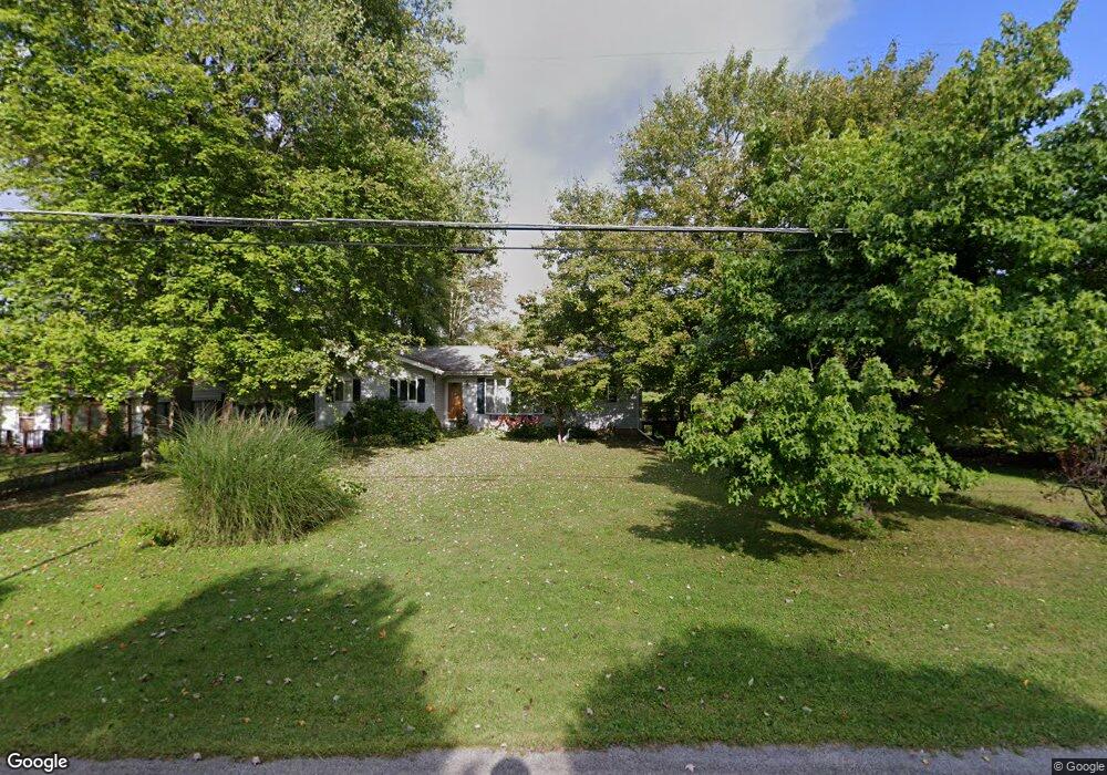
1338 Collar Price Rd Hubbard, OH 44425
Estimated Value: $133,000 - $258,000
3
Beds
2
Baths
1,617
Sq Ft
$132/Sq Ft
Est. Value
About This Home
This home is located at 1338 Collar Price Rd, Hubbard, OH 44425 and is currently estimated at $212,784, approximately $131 per square foot. 1338 Collar Price Rd is a home located in Trumbull County with nearby schools including Brookfield Elementary School, Brookfield Middle School, and Brookfield High School.
Ownership History
Date
Name
Owned For
Owner Type
Purchase Details
Closed on
Jan 1, 1990
Bought by
Linda A Davis
Current Estimated Value
Create a Home Valuation Report for This Property
The Home Valuation Report is an in-depth analysis detailing your home's value as well as a comparison with similar homes in the area
Home Values in the Area
Average Home Value in this Area
Purchase History
| Date | Buyer | Sale Price | Title Company |
|---|---|---|---|
| Linda A Davis | -- | -- |
Source: Public Records
Tax History Compared to Growth
Tax History
| Year | Tax Paid | Tax Assessment Tax Assessment Total Assessment is a certain percentage of the fair market value that is determined by local assessors to be the total taxable value of land and additions on the property. | Land | Improvement |
|---|---|---|---|---|
| 2024 | $2,054 | $54,600 | $6,300 | $48,300 |
| 2023 | $2,054 | $54,600 | $6,300 | $48,300 |
| 2022 | $2,308 | $40,780 | $5,740 | $35,040 |
| 2021 | $2,162 | $40,780 | $5,740 | $35,040 |
| 2020 | $2,148 | $40,780 | $5,740 | $35,040 |
| 2019 | $2,068 | $36,610 | $5,320 | $31,290 |
| 2018 | $2,050 | $36,610 | $5,320 | $31,290 |
| 2017 | $2,047 | $36,610 | $5,320 | $31,290 |
| 2016 | $1,958 | $33,680 | $5,920 | $27,760 |
| 2015 | $1,961 | $33,680 | $5,920 | $27,760 |
| 2014 | $1,952 | $33,680 | $5,920 | $27,760 |
| 2013 | $2,036 | $35,780 | $5,920 | $29,860 |
Source: Public Records
Map
Nearby Homes
- 6855 Stewart Sharon Rd
- 7111 Pine Grove Dr
- 5910 Chestnut Ridge Rd
- 1441 Warner Rd
- 1472 Warner Rd
- 1911 Hubbard Thomas Rd
- 5683 Chestnut Ridge Rd
- 1354 Stevenson Rd
- 6984 Warren Sharon Rd
- 7370 Brookwood Dr
- 6220 Warren Sharon Rd
- 6333 Warren Sharon Rd
- 7086 Warren Sharon Rd
- 6130 Warren Sharon Rd
- 7091 Warren Sharon Rd
- 1975 Warner Rd
- 718 State Route 7 NE
- 7737 Elm St
- 7085 Sunnydell Dr
- 7822 2nd St
- 1330 Collar Price Rd
- 1343 Collar Price Rd
- 1355 Collar Price Rd
- 1331 Collar Price Rd
- 1373 Collar Price Rd
- 1311 Collar Price Rd
- 1380 Collar Price Rd
- 1301 Collar Price Rd
- 1393 Collar Price Rd
- 1285 87 Collar Price
- 1265 Collar Price Rd
- 1415 Collar Price Rd
- 1240 Collar Price Rd
- 1245 Collar Price Rd
- 1441 Collar Price Rd
- 1230 Collar Price Rd
- 1444 Collar Price Rd
- 9999 Collar Price Rd
- 1220 Collar Price Rd
- 1455 Collar Price Rd