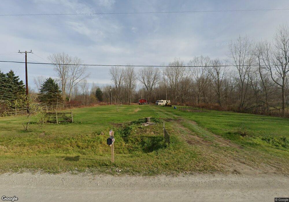
1338 Sturdevant Rd Kimball, MI 48074
Estimated Value: $28,584 - $106,000
--
Bed
--
Bath
--
Sq Ft
5
Acres
About This Home
This home is located at 1338 Sturdevant Rd, Kimball, MI 48074 and is currently estimated at $78,195. 1338 Sturdevant Rd is a home located in St. Clair County with nearby schools including Kimball Elementary School, Central Middle School, and Port Huron High School.
Ownership History
Date
Name
Owned For
Owner Type
Purchase Details
Closed on
Jun 14, 2025
Sold by
Evans Myria Sampson
Bought by
Hines David and Pugh Tiffany
Current Estimated Value
Purchase Details
Closed on
Dec 8, 2019
Sold by
Sampson Pearline James
Bought by
Evans Myria S
Purchase Details
Closed on
Jun 19, 2015
Sold by
James Sampson Pearline
Bought by
James Sampson Pearline
Purchase Details
Closed on
Apr 25, 2015
Sold by
Labudie Richard V and Labudie Kathleen M
Bought by
James Sampson Pearline and Estate Of William Owen Sampson
Create a Home Valuation Report for This Property
The Home Valuation Report is an in-depth analysis detailing your home's value as well as a comparison with similar homes in the area
Home Values in the Area
Average Home Value in this Area
Purchase History
| Date | Buyer | Sale Price | Title Company |
|---|---|---|---|
| Hines David | -- | None Listed On Document | |
| Hines David | -- | None Listed On Document | |
| Evans Myria S | -- | None Available | |
| James Sampson Pearline | -- | None Available | |
| James Sampson Pearline | $13,500 | None Available |
Source: Public Records
Tax History Compared to Growth
Tax History
| Year | Tax Paid | Tax Assessment Tax Assessment Total Assessment is a certain percentage of the fair market value that is determined by local assessors to be the total taxable value of land and additions on the property. | Land | Improvement |
|---|---|---|---|---|
| 2025 | $1,087 | $33,400 | $0 | $0 |
| 2024 | $807 | $33,600 | $0 | $0 |
| 2023 | $755 | $30,000 | $0 | $0 |
| 2022 | $977 | $25,800 | $0 | $0 |
| 2021 | $902 | $25,300 | $0 | $0 |
| 2020 | $902 | $21,000 | $21,000 | $0 |
| 2019 | $463 | $22,600 | $0 | $0 |
| 2018 | $452 | $22,000 | $0 | $0 |
| 2017 | $443 | $28,800 | $0 | $0 |
| 2016 | $329 | $28,800 | $0 | $0 |
| 2015 | -- | $29,000 | $29,000 | $0 |
| 2014 | -- | $39,500 | $39,500 | $0 |
| 2013 | -- | $28,600 | $0 | $0 |
Source: Public Records
Map
Nearby Homes
- 1371 Sturdevant Rd
- 1261 Sturdevant Rd
- 6417 Dove Rd
- 1688 Sturdevant Rd
- 1671 Ditty Rd
- 1533 Richman Rd
- 00 Griswold Rd
- 1900 Burns Rd
- 6928 Smiths Creek Rd
- 1876 Morningstar Ave
- 2019 Edward Ln E
- 0 Sparling Rd Unit 2210034403
- 355 Henry St
- VL Lambs Rd
- 5035 Burma Rd
- 1091 Allen Rd
- I-69 vac Taylor Dr
- 1681 Allen Rd
- 1701 Allen Rd
- V/L Allen
- 1264 Sturdevant Rd
- 1342 Sturdevant Rd
- 1268 Sturdevant Rd
- 1273 Sturdevant Rd
- 1236 Sturdevant Rd
- 1391 Sturdevant Rd
- 1303 Sturdevant Rd Unit Bldg-Unit
- 1303 Sturdevant Rd
- 1235 Sturdevant Rd
- 1407 Sturdevant Rd
- 1407 Sturdevant Rd
- 1208 Sturdevant Rd
- 1419 Sturdevant Rd
- 1419 Sturdevant Rd
- 1213 Sturdevant Rd
- 6433 Dove Rd
- 1180 Sturdevant Rd
- 1455 Sturdevant Rd
- 1160 Sturdevant Rd
- 6409 Dove Rd