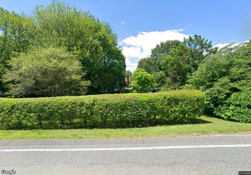
1338 Tremont St Duxbury, MA 02332
Estimated Value: $1,124,000 - $1,265,000
3
Beds
3
Baths
2,184
Sq Ft
$534/Sq Ft
Est. Value
About This Home
This home is located at 1338 Tremont St, Duxbury, MA 02332 and is currently estimated at $1,166,133, approximately $533 per square foot. 1338 Tremont St is a home located in Plymouth County with nearby schools including Chandler Elementary School, Alden School, and Duxbury Middle School.
Ownership History
Date
Name
Owned For
Owner Type
Purchase Details
Closed on
Dec 20, 2021
Sold by
Newman Nancy M
Bought by
Newman Ft and Newman
Current Estimated Value
Purchase Details
Closed on
Jan 21, 1981
Bought by
Newman Robert T and Newman Nancy M
Create a Home Valuation Report for This Property
The Home Valuation Report is an in-depth analysis detailing your home's value as well as a comparison with similar homes in the area
Home Values in the Area
Average Home Value in this Area
Purchase History
| Date | Buyer | Sale Price | Title Company |
|---|---|---|---|
| Newman Ft | -- | None Available | |
| Newman Nancy M | -- | None Available | |
| Newman Ft | -- | None Available | |
| Newman Nancy M | -- | None Available | |
| Newman Robert T | $33,000 | -- |
Source: Public Records
Mortgage History
| Date | Status | Borrower | Loan Amount |
|---|---|---|---|
| Previous Owner | Newman Robert T | $120,000 | |
| Previous Owner | Newman Robert T | $215,000 | |
| Previous Owner | Newman Robert T | $20,000 | |
| Previous Owner | Newman Robert T | $120,000 |
Source: Public Records
Tax History Compared to Growth
Tax History
| Year | Tax Paid | Tax Assessment Tax Assessment Total Assessment is a certain percentage of the fair market value that is determined by local assessors to be the total taxable value of land and additions on the property. | Land | Improvement |
|---|---|---|---|---|
| 2025 | $10,061 | $992,200 | $529,000 | $463,200 |
| 2024 | $9,525 | $946,800 | $488,600 | $458,200 |
| 2023 | $8,818 | $824,900 | $477,400 | $347,500 |
| 2022 | $9,258 | $721,000 | $402,800 | $318,200 |
| 2021 | $9,450 | $652,600 | $365,400 | $287,200 |
| 2020 | $9,142 | $623,600 | $326,600 | $297,000 |
| 2019 | $8,707 | $593,100 | $322,600 | $270,500 |
| 2018 | $8,150 | $537,600 | $282,200 | $255,400 |
| 2017 | $7,994 | $515,400 | $268,500 | $246,900 |
| 2016 | $7,758 | $498,900 | $252,000 | $246,900 |
| 2015 | $7,783 | $498,900 | $252,000 | $246,900 |
Source: Public Records
Map
Nearby Homes
- 9 S Pasture Ln
- 1141 Tremont St
- Two Railroad Ave Unit 9
- Two Railroad Ave Unit 1
- Two Railroad Ave Unit 8
- Two Railroad Ave Unit 2
- 10 Hawthorn Hill
- 33 Herring Weir Rd
- 62 Teakettle Ln
- 74 Abrams Hill Rd
- 68 Abrams Hill Rd
- 387 Lot 2A Old Cove Rd
- 387 Lot 3A Old Cove Rd
- 387 Lot 4A Old Cove Rd
- 56 Chapel St
- 39 Bay Pond Rd
- 32 Harrison St
- 205 Surplus St
- 15 Fieldstone Farm Way Unit 8
- 16 Fieldstone Farm Way
- 1348 Tremont St
- 1347 Tremont St
- 1335 Tremont St
- 1345 Tremont St Unit 1
- 1345 Tremont St
- 1345 Tremont St Unit A
- 1345 Tremont St Unit B
- 1357 Tremont St
- 1394 Tremont St
- 1362 Tremont St
- 1351 Tremont St
- 1363 Tremont St
- 1372 Tremont St
- 1327 Tremont St
- 1296 Tremont St
- 1379 Tremont St
- 1379 Tremont St Unit 1
- 1298 Tremont St
- 1376 Tremont St
- 1381 Tremont St