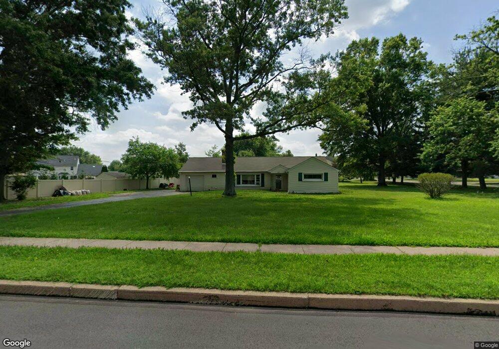
1339 Derstine Rd Souderton, PA 18964
Estimated Value: $341,000 - $398,000
2
Beds
1
Bath
1,224
Sq Ft
$303/Sq Ft
Est. Value
About This Home
This home is located at 1339 Derstine Rd, Souderton, PA 18964 and is currently estimated at $371,318, approximately $303 per square foot. 1339 Derstine Rd is a home located in Montgomery County with nearby schools including Hatfield Elementary School, Pennfield Middle School, and North Penn Senior High School.
Ownership History
Date
Name
Owned For
Owner Type
Purchase Details
Closed on
May 8, 2024
Sold by
Zischang Sonja E and Zischang Scott A
Bought by
Berry Lukas Samuel and Randall Kate Michelle
Current Estimated Value
Home Financials for this Owner
Home Financials are based on the most recent Mortgage that was taken out on this home.
Original Mortgage
$290,000
Outstanding Balance
$222,036
Interest Rate
6.82%
Mortgage Type
Seller Take Back
Estimated Equity
$149,282
Purchase Details
Closed on
Apr 1, 1976
Bought by
Zischang Elizabeth and Zischang Sonja E
Create a Home Valuation Report for This Property
The Home Valuation Report is an in-depth analysis detailing your home's value as well as a comparison with similar homes in the area
Home Values in the Area
Average Home Value in this Area
Purchase History
| Date | Buyer | Sale Price | Title Company |
|---|---|---|---|
| Berry Lukas Samuel | $305,500 | None Listed On Document | |
| Zischang Elizabeth | $37,000 | -- |
Source: Public Records
Mortgage History
| Date | Status | Borrower | Loan Amount |
|---|---|---|---|
| Open | Berry Lukas Samuel | $290,000 |
Source: Public Records
Tax History Compared to Growth
Tax History
| Year | Tax Paid | Tax Assessment Tax Assessment Total Assessment is a certain percentage of the fair market value that is determined by local assessors to be the total taxable value of land and additions on the property. | Land | Improvement |
|---|---|---|---|---|
| 2025 | $4,977 | $124,340 | $59,090 | $65,250 |
| 2024 | $4,977 | $124,340 | $59,090 | $65,250 |
| 2023 | $4,764 | $124,340 | $59,090 | $65,250 |
| 2022 | $4,609 | $124,340 | $59,090 | $65,250 |
| 2021 | $4,478 | $124,340 | $59,090 | $65,250 |
| 2020 | $4,373 | $124,340 | $59,090 | $65,250 |
| 2019 | $4,300 | $124,340 | $59,090 | $65,250 |
| 2018 | $4,299 | $124,340 | $59,090 | $65,250 |
| 2017 | $4,135 | $124,340 | $59,090 | $65,250 |
| 2016 | $4,087 | $124,340 | $59,090 | $65,250 |
| 2015 | $3,923 | $124,340 | $59,090 | $65,250 |
| 2014 | $3,923 | $124,340 | $59,090 | $65,250 |
Source: Public Records
Map
Nearby Homes
- 701 Quail Cir
- 1520 Fairgrounds Rd
- 829 Alexander Dr
- 3113 Arbour Green Ct
- 2821 N Ford Dr
- 2921 Cowpath Rd
- 2801 Denbeigh Dr
- 2805 N Ford Dr
- 2031 Oak Ave
- 2713 Beech St
- 142 Orchard Ln
- 302 W Broad St
- 708 Finlay Dr
- 138 Diamond St Unit 31
- 723 Finlay Dr
- 24 S Wayne Ave
- 3 Diamond St
- 635 Elroy Rd
- 105 S Main St
- 510 Berkshire Dr
- 2917 Dartmouth Dr
- 2986 Denbeigh Dr
- 2992 Denbeigh Dr
- 980 Waterford Dr
- 1288 Alexander Dr
- 2913 Dartmouth Dr
- 2980 Denbeigh Dr
- 2998 Denbeigh Dr
- 2912 Dartmouth Dr
- 2909 Dartmouth Dr
- 1281 Alexander Dr
- 2974 Denbeigh Dr
- 2963 Denbeigh Dr
- 981 Waterford Dr
- 1307 Grayson Dr
- 960 Waterford Dr
- 1284 Alexander Dr
- 2908 Dartmouth Dr
- 2905 Dartmouth Dr
- 2968 Denbeigh Dr