1339 E Poe Prairie Rd Millsap, TX 76066
Estimated Value: $699,000
--
Bed
--
Bath
1,400
Sq Ft
$499/Sq Ft
Est. Value
About This Home
This home is located at 1339 E Poe Prairie Rd, Millsap, TX 76066 and is currently estimated at $699,000, approximately $499 per square foot. 1339 E Poe Prairie Rd is a home located in Parker County with nearby schools including Millsap Elementary School, Millsap Middle School, and Millsap High School.
Ownership History
Date
Name
Owned For
Owner Type
Purchase Details
Closed on
Jun 16, 2025
Sold by
2017 Richard Owen and 2017 Bettie Owen
Bought by
Owen Bettie
Current Estimated Value
Purchase Details
Closed on
Jul 13, 2017
Sold by
Owen Richard and Owen Bettie
Bought by
Owen Bettie and The 2017 Richard Owen And Bettie Owen Re
Purchase Details
Closed on
Jan 1, 1901
Bought by
Owen Richard Lee
Create a Home Valuation Report for This Property
The Home Valuation Report is an in-depth analysis detailing your home's value as well as a comparison with similar homes in the area
Home Values in the Area
Average Home Value in this Area
Purchase History
| Date | Buyer | Sale Price | Title Company |
|---|---|---|---|
| Owen Bettie | -- | None Listed On Document | |
| Owen Bettie | -- | None Available | |
| Owen Richard Lee | -- | -- |
Source: Public Records
Tax History Compared to Growth
Tax History
| Year | Tax Paid | Tax Assessment Tax Assessment Total Assessment is a certain percentage of the fair market value that is determined by local assessors to be the total taxable value of land and additions on the property. | Land | Improvement |
|---|---|---|---|---|
| 2025 | $561 | $155,025 | -- | -- |
| 2024 | $561 | $140,932 | -- | -- |
| 2023 | $561 | $128,120 | $0 | $0 |
| 2022 | $2,210 | $116,480 | $12,760 | $103,720 |
| 2021 | $2,424 | $116,480 | $12,760 | $103,720 |
| 2020 | $2,308 | $110,900 | $15,450 | $95,450 |
| 2019 | $2,249 | $110,900 | $15,450 | $95,450 |
| 2018 | $2,068 | $95,840 | $8,650 | $87,190 |
| 2017 | $1,947 | $95,840 | $8,650 | $87,190 |
| 2016 | $1,769 | $75,420 | $6,270 | $69,150 |
| 2015 | $745 | $75,420 | $6,270 | $69,150 |
| 2014 | $881 | $60,540 | $5,860 | $54,680 |
Source: Public Records
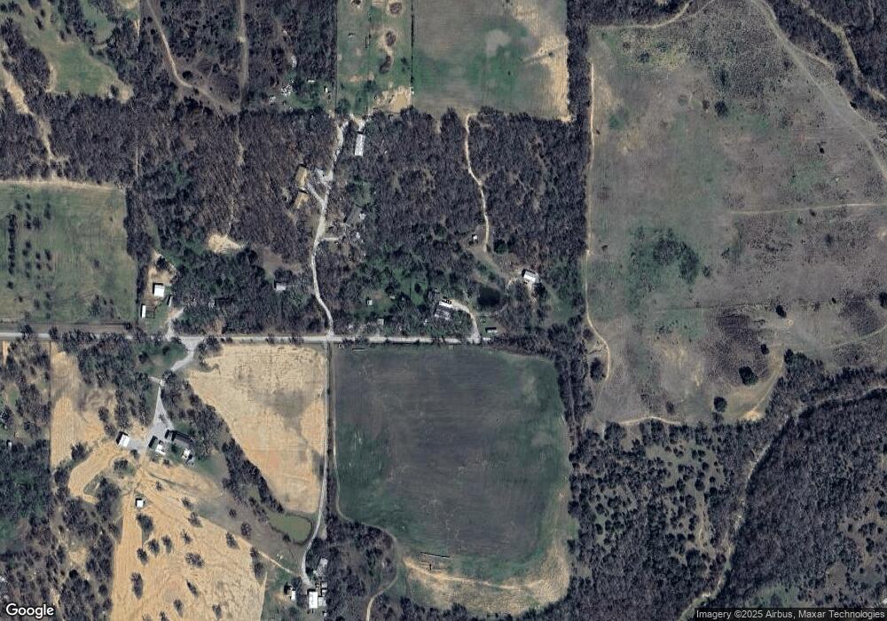
Map
Nearby Homes
- 251 Tumbleweed Ct
- TBD Wolf Hollow
- 3810 Fairview Rd
- 555 Sunset Trail
- 7530 W Interstate 20
- XXXX Wolf Hollow
- 1350 Stephens Rd
- 401 Brock Spur
- 3200 Fairview Rd
- 2710 Fairview Rd
- 181 Savannah Dr
- 169 Savannah Dr
- 4962 S Fm 113
- Farm To Market 113
- 3499 S Fm 113
- 5288 Bennett Rd
- 6427 S Fm Rd 113
- 2350 Grindstone Rd
- TBD Consolation
- 101 Consolation Dr
- 1313 E Poe Prairie Rd
- 105 Circle Oak Ct
- 113 Circle Oak Ct
- 198 Circle Oak Ct
- 1111 E Poe Prairie Rd
- 1300 E Poe Prairie Rd
- 1210 E Poe Prairie Rd
- 143 Tumbleweed Ct
- 203 Tumbleweed Ct
- 245 Tumbleweed Ct
- 241 Tumbleweed Ct
- 580 Jack Wright Rd
- 130 Tumbleweed Ct
- 182 Tumbleweed Ct
- 810 E Poe Prairie Rd
- 244 Tumbleweed Ct
- 7720 W Interstate 20
- 372 E Cattail Ln
- 799 E Poe Prairie Rd
- 801 E Poe Prairie Rd