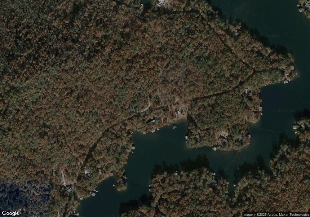
1339 E Wildcat Rd Unit L Clarkesville, GA 30523
Estimated Value: $1,694,000 - $5,349,000
4
Beds
5
Baths
4,321
Sq Ft
$761/Sq Ft
Est. Value
About This Home
This home is located at 1339 E Wildcat Rd Unit L, Clarkesville, GA 30523 and is currently estimated at $3,287,297, approximately $760 per square foot. 1339 E Wildcat Rd Unit L is a home located in Rabun County with nearby schools including Rabun County Primary School and Rabun County High School.
Ownership History
Date
Name
Owned For
Owner Type
Purchase Details
Closed on
May 31, 2013
Sold by
Lassiter Michael S
Bought by
Taylor Robert W
Current Estimated Value
Purchase Details
Closed on
Apr 1, 2006
Sold by
Not Provided
Bought by
Lassiter Michael S
Purchase Details
Closed on
Nov 1, 1995
Purchase Details
Closed on
Nov 1, 1993
Purchase Details
Closed on
Sep 1, 1992
Purchase Details
Closed on
Nov 1, 1990
Create a Home Valuation Report for This Property
The Home Valuation Report is an in-depth analysis detailing your home's value as well as a comparison with similar homes in the area
Home Values in the Area
Average Home Value in this Area
Purchase History
| Date | Buyer | Sale Price | Title Company |
|---|---|---|---|
| Taylor Robert W | $2,400,000 | -- | |
| Taylor Robert W | $2,400,000 | -- | |
| Lassiter Michael S | -- | -- | |
| Lassiter Michael S | -- | -- | |
| -- | -- | -- | |
| -- | -- | -- | |
| -- | $173,800 | -- | |
| -- | $173,800 | -- | |
| -- | $150,000 | -- | |
| -- | $150,000 | -- | |
| -- | -- | -- | |
| -- | -- | -- |
Source: Public Records
Tax History
| Year | Tax Paid | Tax Assessment Tax Assessment Total Assessment is a certain percentage of the fair market value that is determined by local assessors to be the total taxable value of land and additions on the property. | Land | Improvement |
|---|---|---|---|---|
| 2025 | $8,752 | $545,300 | $0 | $545,300 |
| 2024 | $8,286 | $516,231 | $0 | $516,231 |
| 2023 | $8,370 | $457,316 | $0 | $457,316 |
| 2022 | $8,032 | $438,856 | $0 | $438,856 |
| 2021 | $7,409 | $395,141 | $0 | $395,141 |
| 2020 | $7,225 | $372,481 | $0 | $372,481 |
| 2019 | $7,276 | $372,481 | $0 | $372,481 |
| 2018 | $7,302 | $372,481 | $0 | $372,481 |
| 2017 | $7,101 | $377,713 | $0 | $377,713 |
| 2016 | $7,120 | $377,713 | $0 | $377,713 |
| 2015 | $6,982 | $362,536 | $0 | $362,536 |
| 2014 | $7,019 | $362,536 | $0 | $362,536 |
Source: Public Records
Map
Nearby Homes
- 1242 Moccasin Creek Rd Unit L
- 4979 Highway 197
- 38 Sourwood Trail
- 1349 Dicks Creek Rd
- 185 Pope Dickson Ln
- 90 Cove View Ln
- 130 Cove View Ln
- 132 Summit Ridge Dr
- 0 Ivy Ridge Unit 10528111
- 117 Ivy Ridge Way
- 1 Burton Island
- 3103 Highway 197
- 0 Hoboken Ln
- 1289 Rainwater Trail
- 263 Seabrook Ln
- 207 Raindance Ln
- 602 Charmont Dr
- 4960 Laurel Lodge Rd
- 4960 Laurel Lodge Rd Unit 46
- 4960 Laurel Lodge Rd Unit LOT 3
- 124 Lone Star
- 0 Lone Star
- 4 Lone Star Ln
- 1501 E Wildcat Rd
- 5640 Highway 197
- 5640 Highway 197
- 1067 E Wildcat Rd
- 94 Lone Star Ln
- 1651 E Wildcat Rd Unit L
- 114 Austria Ln
- 152 Collins Ln
- 36 Austria Ln
- 1675 E Wildcat Rd Unit L
- 1177 E Wildcat Rd Unit L
- 162 Lone Star Ln
- 817 E Wildcat Rd
- 38 Austria Ln
- 1143 E Wildcat Rd
- 1541 E Wildcat Rd
- 931 E Wildcat Rd Unit L
