1339 Hawthorn Dr Hanover, MD 21076
Estimated Value: $465,735 - $519,000
--
Bed
2
Baths
1,372
Sq Ft
$353/Sq Ft
Est. Value
About This Home
This home is located at 1339 Hawthorn Dr, Hanover, MD 21076 and is currently estimated at $484,684, approximately $353 per square foot. 1339 Hawthorn Dr is a home located in Anne Arundel County with nearby schools including Hebron-Harman Elementary School, MacArthur Middle School, and Meade High School.
Ownership History
Date
Name
Owned For
Owner Type
Purchase Details
Closed on
Jan 13, 2021
Sold by
Mayah William Tamba and Mayah Meron Solomon
Bought by
Mayah William Tamba
Current Estimated Value
Purchase Details
Closed on
Jun 20, 2019
Sold by
Us Home Corporation
Bought by
Mayah William Tamba and Mayah Meron Solomon
Home Financials for this Owner
Home Financials are based on the most recent Mortgage that was taken out on this home.
Original Mortgage
$362,453
Outstanding Balance
$321,203
Interest Rate
4.5%
Mortgage Type
FHA
Estimated Equity
$163,481
Purchase Details
Closed on
Oct 19, 2018
Sold by
New Boston Seneca Parkway Llc
Bought by
U S Home Corp and Lennar
Create a Home Valuation Report for This Property
The Home Valuation Report is an in-depth analysis detailing your home's value as well as a comparison with similar homes in the area
Home Values in the Area
Average Home Value in this Area
Purchase History
| Date | Buyer | Sale Price | Title Company |
|---|---|---|---|
| Mayah William Tamba | -- | None Available | |
| Mayah William Tamba | $369,140 | Calatlantic Title Of Md Inc | |
| U S Home Corp | $546,592 | North American Title Co |
Source: Public Records
Mortgage History
| Date | Status | Borrower | Loan Amount |
|---|---|---|---|
| Open | Mayah William Tamba | $362,453 |
Source: Public Records
Tax History Compared to Growth
Tax History
| Year | Tax Paid | Tax Assessment Tax Assessment Total Assessment is a certain percentage of the fair market value that is determined by local assessors to be the total taxable value of land and additions on the property. | Land | Improvement |
|---|---|---|---|---|
| 2025 | $4,748 | $441,900 | $180,000 | $261,900 |
| 2024 | $4,748 | $424,333 | $0 | $0 |
| 2023 | $4,616 | $406,767 | $0 | $0 |
| 2022 | $4,306 | $389,200 | $145,000 | $244,200 |
| 2021 | $8,447 | $377,067 | $0 | $0 |
| 2020 | $4,103 | $364,933 | $0 | $0 |
| 2019 | $5,411 | $281,900 | $47,200 | $234,700 |
| 2018 | $449 | $44,300 | $0 | $0 |
| 2017 | $395 | $41,400 | $0 | $0 |
| 2016 | -- | $38,500 | $0 | $0 |
Source: Public Records
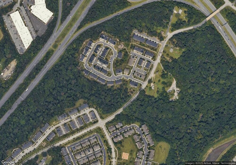
Map
Nearby Homes
- 7111 River Birch Dr
- Parcel 325 Wright Rd
- Parcel 271 Wright Rd
- Parcel 265 Wright Rd
- 7151 Wright Rd
- Parcel 316-7147 Wright Rd
- 1387 Hawthorn Dr
- 0 Wright Rd Unit 19332844
- 1417 Hawthorn Dr
- 7143 Wright Rd
- 7135 Wright Rd
- 7131 Wright Rd
- 7266 Dorchester Woods Ln
- 7296 Dorchester Woods Ln
- 1544 Rutland Way
- 7432 Race Rd
- 7305 Wisteria Point Dr
- 6810 Morning Glory Trail
- 6504 Whitetail Crossing Way
- 7490 Race Rd
- 1337 Hawthorn Dr
- 1335 Hawthorn Dr
- 1341 Hawthorn Dr
- 1340 Hawthorn Dr
- 1338 Hawthorn Dr
- 1336 Hawthorn Dr
- 1345 Hawthorn Dr
- 1345 Hawthorn Dr
- 1347 Hawthorn Dr
- 1334 Hawthorn Dr
- 1349 Hawthorn Dr
- 1328 Hawthorn Dr
- 1351 Hawthorn Dr
- 1330 Hawthorn Dr
- 1326 Hawthorn Dr
- 1374 Hawthorn Dr
- 1356 Hawthorne Dr
- 1321 Hawthorn Dr
- 1319 Hawthorn Dr
- 1357 Hawthorn Dr