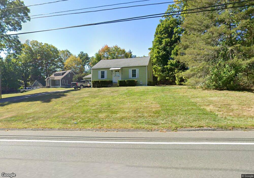
1339 Piper Rd West Springfield, MA 01089
Estimated Value: $264,000 - $325,000
2
Beds
1
Bath
768
Sq Ft
$385/Sq Ft
Est. Value
About This Home
This home is located at 1339 Piper Rd, West Springfield, MA 01089 and is currently estimated at $295,728, approximately $385 per square foot. 1339 Piper Rd is a home located in Hampden County with nearby schools including West Springfield High School, Holyoke Community Charter School, and Hampden Charter School of Science West.
Ownership History
Date
Name
Owned For
Owner Type
Purchase Details
Closed on
Jul 24, 1992
Sold by
Theriault David N and Vogel Teresa J
Bought by
Giustina Paul
Current Estimated Value
Home Financials for this Owner
Home Financials are based on the most recent Mortgage that was taken out on this home.
Original Mortgage
$87,875
Interest Rate
8.49%
Mortgage Type
Purchase Money Mortgage
Create a Home Valuation Report for This Property
The Home Valuation Report is an in-depth analysis detailing your home's value as well as a comparison with similar homes in the area
Home Values in the Area
Average Home Value in this Area
Purchase History
| Date | Buyer | Sale Price | Title Company |
|---|---|---|---|
| Giustina Paul | $92,500 | -- |
Source: Public Records
Mortgage History
| Date | Status | Borrower | Loan Amount |
|---|---|---|---|
| Open | Giustina Paul | $54,000 | |
| Closed | Giustina Paul | $87,875 |
Source: Public Records
Tax History
| Year | Tax Paid | Tax Assessment Tax Assessment Total Assessment is a certain percentage of the fair market value that is determined by local assessors to be the total taxable value of land and additions on the property. | Land | Improvement |
|---|---|---|---|---|
| 2025 | $3,120 | $209,800 | $115,100 | $94,700 |
| 2024 | $3,088 | $208,500 | $115,100 | $93,400 |
| 2023 | $3,043 | $195,800 | $115,100 | $80,700 |
| 2022 | $2,782 | $176,500 | $104,500 | $72,000 |
| 2021 | $2,518 | $149,000 | $83,400 | $65,600 |
| 2020 | $2,532 | $149,000 | $83,400 | $65,600 |
| 2019 | $2,527 | $149,000 | $83,400 | $65,600 |
| 2018 | $2,540 | $149,000 | $83,400 | $65,600 |
| 2017 | $2,540 | $149,000 | $83,400 | $65,600 |
| 2016 | $2,462 | $144,900 | $78,400 | $66,500 |
| 2015 | $2,414 | $142,100 | $76,800 | $65,300 |
| 2014 | $585 | $142,100 | $76,800 | $65,300 |
Source: Public Records
Map
Nearby Homes
- 404 Brush Hill Ave
- 11 Annie's Way
- 361 Prospect Ave
- 80 Brush Hill Ave Unit 61
- 791 Morgan Rd
- 36 Shady Brook
- 10 Beauregard Terrace
- 0 Ahiska Rd Unit 73477754
- 89-111 Whitney Ave
- 750 Amostown Rd
- 87 Blanchwood Ave
- 2 Windpath E
- 34 High Meadow Dr
- 86 Beaumont Ave
- 51 Beaumont Ave
- 21 Depot St
- 0 School St
- 27 Abbey St
- 13 Beston St
- 76 Joy St
Your Personal Tour Guide
Ask me questions while you tour the home.