13395 Cowan Rd Gentry, AR 72734
Estimated Value: $327,000
--
Bed
1
Bath
--
Sq Ft
77.77
Acres
About This Home
This home is located at 13395 Cowan Rd, Gentry, AR 72734 and is currently estimated at $327,000. 13395 Cowan Rd is a home located in Benton County with nearby schools including Vaughn Elementary, Grimsley Junior High School, and Creekside Middle School.
Ownership History
Date
Name
Owned For
Owner Type
Purchase Details
Closed on
Apr 10, 2017
Sold by
Mathias Samuel H
Bought by
Mathias Ranch Llc
Current Estimated Value
Purchase Details
Closed on
Jun 25, 2015
Sold by
Simmons First National Bank
Bought by
Mathias Samuel H
Home Financials for this Owner
Home Financials are based on the most recent Mortgage that was taken out on this home.
Original Mortgage
$2,350,000
Interest Rate
3.83%
Mortgage Type
Future Advance Clause Open End Mortgage
Purchase Details
Closed on
May 17, 2001
Bought by
Atrs 2 Ac
Purchase Details
Closed on
Nov 16, 2000
Bought by
Re Cherry Rev Liv Tr
Purchase Details
Closed on
Mar 22, 2000
Bought by
Reams
Purchase Details
Closed on
Dec 31, 1958
Bought by
Cherry
Purchase Details
Closed on
Jul 10, 1956
Bought by
Cherry
Purchase Details
Closed on
May 10, 1940
Bought by
Cherry
Create a Home Valuation Report for This Property
The Home Valuation Report is an in-depth analysis detailing your home's value as well as a comparison with similar homes in the area
Home Values in the Area
Average Home Value in this Area
Purchase History
| Date | Buyer | Sale Price | Title Company |
|---|---|---|---|
| Mathias Ranch Llc | -- | None Available | |
| Mathias Samuel H | $4,449,033 | Waco Title | |
| Atrs 2 Ac | $100,000 | -- | |
| Atrs 103 Ac | $1,009,000 | -- | |
| Atrs 120Ac | $1,260,000 | -- | |
| Atrs 5 Ac | $53,000 | -- | |
| Smith 5Ac | -- | -- | |
| Re | -- | -- | |
| Re Cherry Rev Liv Tr | -- | -- | |
| Cherry Tr | -- | -- | |
| Md Re | -- | -- | |
| Reams | -- | -- | |
| Cherry | -- | -- | |
| Cherry | -- | -- | |
| Cherry | -- | -- |
Source: Public Records
Mortgage History
| Date | Status | Borrower | Loan Amount |
|---|---|---|---|
| Previous Owner | Mathias Samuel H | $2,350,000 |
Source: Public Records
Tax History Compared to Growth
Tax History
| Year | Tax Paid | Tax Assessment Tax Assessment Total Assessment is a certain percentage of the fair market value that is determined by local assessors to be the total taxable value of land and additions on the property. | Land | Improvement |
|---|---|---|---|---|
| 2025 | $207 | $3,413 | $3,413 | -- |
| 2024 | $209 | $3,413 | $3,413 | $0 |
| 2023 | $200 | $3,270 | $3,270 | $0 |
| 2022 | $209 | $3,270 | $3,270 | $0 |
| 2021 | $209 | $3,270 | $3,270 | $0 |
| 2020 | $202 | $3,190 | $3,190 | $0 |
| 2019 | $202 | $3,190 | $3,190 | $0 |
| 2018 | $202 | $3,190 | $3,190 | $0 |
| 2017 | $196 | $3,190 | $3,190 | $0 |
| 2016 | $196 | $3,190 | $3,190 | $0 |
| 2015 | $1,233 | $20,120 | $7,810 | $12,310 |
| 2014 | $1,233 | $20,120 | $7,810 | $12,310 |
Source: Public Records
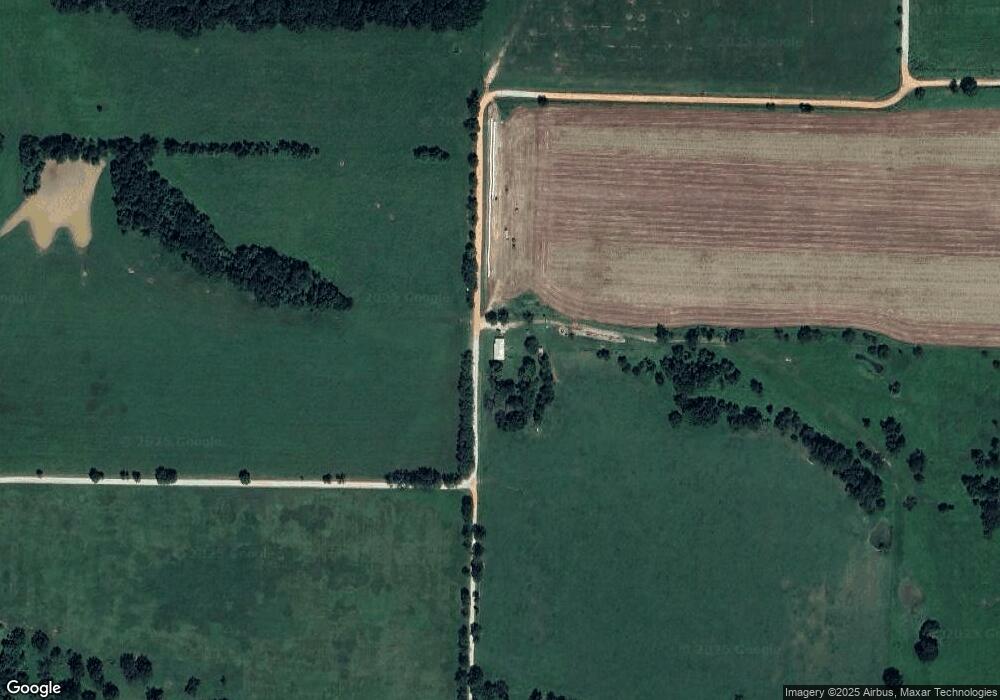
Map
Nearby Homes
- 14400 Cowan Rd
- 0 Hutchens Rd
- 19.99 ac NW Hutchens Rd
- 14400 W Cowan Rd
- 81 ac N Center St
- 492 NW Cowan Ave
- 404 NW 59th Ave
- 406 NW 59th Ave
- 414 NW 59 Ave
- 21.61 Acres W Highway 12
- 5902 NW Hoover St
- 5909 NW Grant St
- 5909 NW Reynolds St
- 5901 NW Silas St
- 5905 NW Ettie May St
- 5900 NW Hancock St
- 6007 NW Hoover St
- 5908 NW Meade St
- 6007 NW Ettie May St
- 5908 NW Sherman St
- 444 NW Armstrong Cemetery Rd
- 74 lots NW Hutchens Rd
- 10077 Hutchens Rd
- 9957 Hutchens Rd
- 281 NW Cowan Ave
- 0 N 68 Acres Holland Ave Unit 722273
- 977 W Highway 12
- 977 W Hwy 12
- Tract C SW Hwy 12 Regional Airport Blvd
- Tract B SW Hwy 12 Regional Airport Blvd
- 310 NW Cowan Ave
- 1025 W Highway 12
- 13542 W Highway 12 Unit 582
- 1Ac Hwy 12
- 851 W 3rd St
- 13332 Morrow Rd
- 332 NW Cowan Ave
- 10855 N Holland Ave
- 13610 Cowan Rd
- 456 NW Cowan Ave