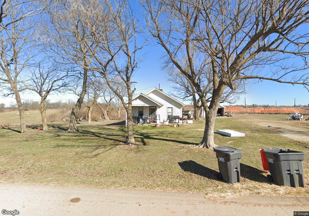
13399 S Zion Rd Springdale, AR 72762
Estimated Value: $225,359 - $395,000
--
Bed
1
Bath
784
Sq Ft
$392/Sq Ft
Est. Value
About This Home
This home is located at 13399 S Zion Rd, Springdale, AR 72762 and is currently estimated at $307,090, approximately $391 per square foot. 13399 S Zion Rd is a home located in Benton County with nearby schools including Willis Shaw Elementary School, Central Junior High School, and Hellstern Middle School.
Ownership History
Date
Name
Owned For
Owner Type
Purchase Details
Closed on
Jul 2, 2018
Sold by
Marrs Justin Doss
Bought by
Apac Central Inc
Current Estimated Value
Purchase Details
Closed on
Jan 2, 2004
Bought by
Marrs
Purchase Details
Closed on
Dec 5, 2003
Bought by
Marrs
Purchase Details
Closed on
Nov 5, 2003
Bought by
Thompson 2Ac
Purchase Details
Closed on
May 1, 1987
Bought by
Sharp
Purchase Details
Closed on
Feb 15, 1984
Bought by
Lee
Purchase Details
Closed on
Jul 3, 1979
Bought by
Sharp Tr
Create a Home Valuation Report for This Property
The Home Valuation Report is an in-depth analysis detailing your home's value as well as a comparison with similar homes in the area
Home Values in the Area
Average Home Value in this Area
Purchase History
| Date | Buyer | Sale Price | Title Company |
|---|---|---|---|
| Apac Central Inc | $175,000 | Waco Title Company | |
| Marrs | -- | -- | |
| Thompson | $45,000 | -- | |
| Marrs | -- | -- | |
| Thompson 2Ac | -- | -- | |
| Sharp | $10,000 | -- | |
| Re: Sharp Trust | -- | -- | |
| Lee | -- | -- | |
| Sharp Tr | -- | -- |
Source: Public Records
Tax History Compared to Growth
Tax History
| Year | Tax Paid | Tax Assessment Tax Assessment Total Assessment is a certain percentage of the fair market value that is determined by local assessors to be the total taxable value of land and additions on the property. | Land | Improvement |
|---|---|---|---|---|
| 2025 | $1,202 | $37,837 | $27,600 | $10,237 |
| 2024 | $1,127 | $37,837 | $27,600 | $10,237 |
| 2023 | $1,025 | $21,600 | $14,800 | $6,800 |
| 2022 | $948 | $21,600 | $14,800 | $6,800 |
| 2021 | $865 | $21,600 | $14,800 | $6,800 |
| 2020 | $788 | $14,790 | $10,000 | $4,790 |
| 2019 | $788 | $14,790 | $10,000 | $4,790 |
| 2018 | $722 | $14,790 | $10,000 | $4,790 |
| 2017 | $667 | $14,790 | $10,000 | $4,790 |
| 2016 | $611 | $14,790 | $10,000 | $4,790 |
| 2015 | $556 | $10,430 | $6,000 | $4,430 |
| 2014 | $556 | $10,430 | $6,000 | $4,430 |
Source: Public Records
Map
Nearby Homes
- TBD 4 Parcels Wagon Wheel Rd
- 4545 Gibson St
- 4445 Gibson St
- 6759 Sunset Ridge Cir
- 7307 Devonshire Ave
- 4424 Cornwall St
- 3915 Baltic St
- 3781 Baltic St
- 7478 Bellgrove Ave
- 5001 Tree Line Cove
- Marigold Plan at Cottages at the Park
- Lily Plan at Cottages at the Park
- Poppy Plan at Cottages at the Park
- Dahlia Plan at Cottages at the Park
- Holly Plan at Cottages at the Park
- Rose Plan at Cottages at the Park
- 6722 Autumn Ave
- 4917 Farmhouse St
- 5026 Tree Line Cove
- 4821 Farmhouse St
- 13434 S Zion Rd
- 13434 S Zion Rd
- 8692 E Wagon Wheel Rd
- 13576 S Zion Rd
- 8614 E Wagon Wheel Rd
- 5.22 AC Lot 2 Wagon Wheel Rd
- 0.95 AC Lot 1 Wagon Wheel Rd
- 2.71 AC Wagon Wheel Rd
- 13201 S Zion Rd
- 8762 E Wagon Wheel Rd
- 13220 Sharp Springs Rd
- 0 E Wagon Wheel Rd Unit 1030161
- 13199 Sharp Springs Rd
- 13202 Sharp Springs Rd
- 8693 E Wagon Wheel Rd
- 5617 Ronnie Place
- 8611 E Wagon Wheel Rd
- 5649 Ronnie Place
- 5604 Ronnie Place
- 5685 Ronnie Place