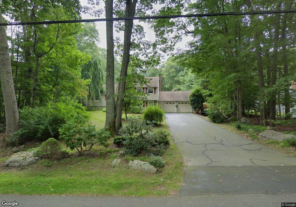
134 Airline Rd Clinton, CT 06413
Estimated Value: $466,000 - $630,000
3
Beds
3
Baths
1,626
Sq Ft
$332/Sq Ft
Est. Value
About This Home
This home is located at 134 Airline Rd, Clinton, CT 06413 and is currently estimated at $540,466, approximately $332 per square foot. 134 Airline Rd is a home located in Middlesex County with nearby schools including Lewin G. Joel Jr. School, The Morgan School, and Our Lady of Mercy Preparatory Academy.
Ownership History
Date
Name
Owned For
Owner Type
Purchase Details
Closed on
Jun 29, 2020
Sold by
Perer R Hlousek Lt and Hlousek
Bought by
Hlousek Peter R and Hlousek Catherine G
Current Estimated Value
Create a Home Valuation Report for This Property
The Home Valuation Report is an in-depth analysis detailing your home's value as well as a comparison with similar homes in the area
Home Values in the Area
Average Home Value in this Area
Purchase History
| Date | Buyer | Sale Price | Title Company |
|---|---|---|---|
| Hlousek Peter R | -- | None Available | |
| Hlousek Peter R | -- | None Available |
Source: Public Records
Tax History Compared to Growth
Tax History
| Year | Tax Paid | Tax Assessment Tax Assessment Total Assessment is a certain percentage of the fair market value that is determined by local assessors to be the total taxable value of land and additions on the property. | Land | Improvement |
|---|---|---|---|---|
| 2025 | $7,296 | $234,300 | $58,900 | $175,400 |
| 2024 | $7,090 | $234,300 | $58,900 | $175,400 |
| 2023 | $6,989 | $234,300 | $58,900 | $175,400 |
| 2022 | $6,989 | $234,300 | $58,900 | $175,400 |
| 2021 | $6,909 | $231,600 | $58,900 | $172,700 |
| 2020 | $7,238 | $231,600 | $58,900 | $172,700 |
| 2019 | $7,238 | $231,600 | $58,900 | $172,700 |
| 2018 | $7,073 | $231,600 | $58,900 | $172,700 |
| 2017 | $6,927 | $231,600 | $58,900 | $172,700 |
| 2016 | $6,286 | $231,600 | $58,900 | $172,700 |
| 2015 | $6,063 | $226,500 | $65,500 | $161,000 |
| 2014 | $5,950 | $226,500 | $65,500 | $161,000 |
Source: Public Records
Map
Nearby Homes
- 5 Kings Grant Rd
- 14 Blaine Ave
- 73 Airline Rd
- 131 Cow Hill Rd
- 19 W Shore Dr
- 4 Van Dyke Ln
- 246 Cow Hill Rd
- 3 Medley Ln
- 15 Egypt Ln
- 3 Jamaica Rd
- 141 Duck Hole Rd
- 4 Columbia Rd
- 13 Longview Terrace
- 11 Silver Birch Ln
- 92 Scotland Rd Unit Lot. 3
- 16 Forest Hills Dr
- 43 Evergreen Park
- 28 Aylesbury Cir Unit 28
- 1 Downing Way Unit 1
- 0 Skytop Dr